Download
Preview
Add to list
More
6.4 km
~1 hrs 46 min
290 m
Loop
“Explore the Black Forest's natural beauty and history on the scenic 6 km Menzenschwander Waterfall Loop.”
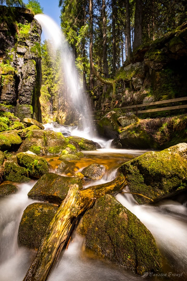
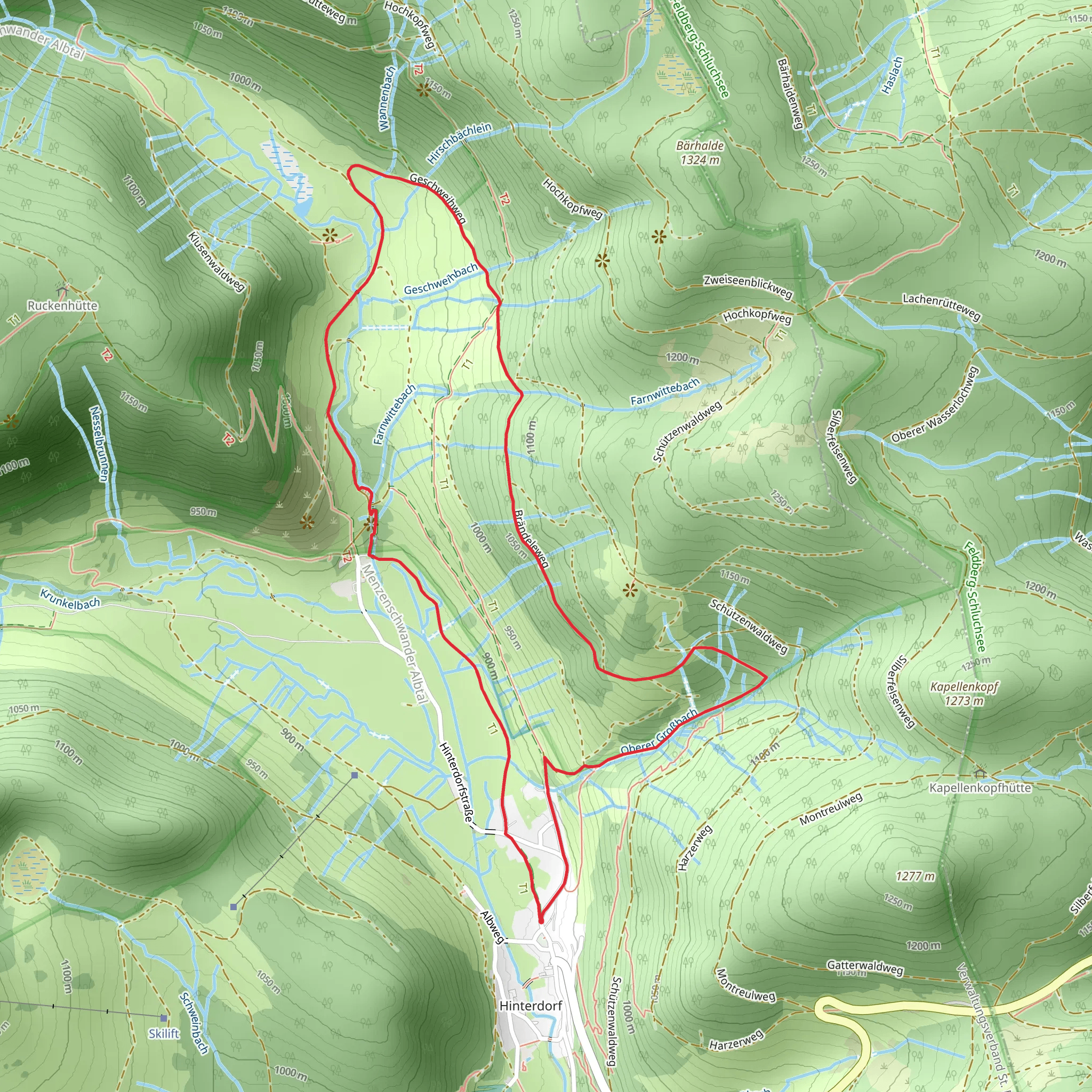
Starting near the picturesque town of Waldshut, Germany, the Menzenschwander Waterfall and Geißenpfad Menzenschwand Loop is a delightful 6 km (approximately 3.7 miles) trail that offers a moderate challenge with an elevation gain of around 200 meters (656 feet). This loop trail is perfect for those looking to immerse themselves in the natural beauty of the Black Forest region.### Getting There To reach the trailhead, you can drive or use public transport. If driving, head towards Menzenschwand, a district of Sankt Blasien, and look for parking near the Menzenschwander Waterfall. For those using public transport, take a train to Seebrugg station and then a bus to Menzenschwand. The nearest significant landmark to the trailhead is the Menzenschwander Waterfall itself, which is well-signposted.### Trail Highlights The trail begins near the Menzenschwander Waterfall, a stunning natural feature where water cascades down rocky cliffs, creating a mesmerizing spectacle. The waterfall is particularly impressive after rainfall, so plan your visit accordingly if you want to see it at its most powerful.### Flora and Fauna As you hike, you'll traverse through dense forests typical of the Black Forest region. Keep an eye out for local wildlife, including deer, foxes, and a variety of bird species. The trail is also rich in flora, with an abundance of ferns, mosses, and wildflowers, especially in the spring and summer months.### Historical Significance The region around Menzenschwand has a rich history, with roots dating back to the Roman era. The area was historically significant for its glassmaking industry, and remnants of old glassworks can still be found. Additionally, the trail passes through areas that were once used for traditional Black Forest farming, offering a glimpse into the region's agricultural past.### Navigation and Waypoints Using HiiKER for navigation is highly recommended to ensure you stay on track. The trail is well-marked, but having a reliable navigation tool can help you identify key waypoints and avoid any potential detours.### Elevation and Terrain The trail features a moderate elevation gain of around 200 meters (656 feet), with some steep sections that may require careful footing. The terrain varies from well-trodden paths to rocky sections, so sturdy hiking boots are advisable. The highest point of the trail offers panoramic views of the surrounding Black Forest, making the climb well worth the effort.### Points of Interest About halfway through the loop, you'll come across the Geißenpfad, a scenic path that offers breathtaking views of the valley below. This section of the trail is particularly photogenic, so have your camera ready. Another notable landmark is the historic chapel of St. Martin, which dates back to the 12th century and provides a peaceful spot for a short rest.### Final Stretch As you near the end of the loop, the trail descends back towards Menzenschwand, offering a gentle and relaxing finish to your hike. The final stretch takes you through open meadows, where you can enjoy the serene landscape and perhaps spot some grazing cattle.This trail offers a perfect blend of natural beauty, historical significance, and moderate physical challenge, making it an ideal choice for hikers looking to explore the Black Forest region.
What to expect?
Activity types
Comments and Reviews
User comments, reviews and discussions about the Menzenschwander Waterfall and Geißenpfad Menzenschwand Loop, Germany.
5.0
average rating out of 5
1 rating(s)

