Download
Preview
Add to list
More
10.1 km
~3 hrs 6 min
650 m
Point-to-Point
“Experience the beauty, challenge, and history of the Black Forest on the Innerlehen to Grafenmatt trail.”
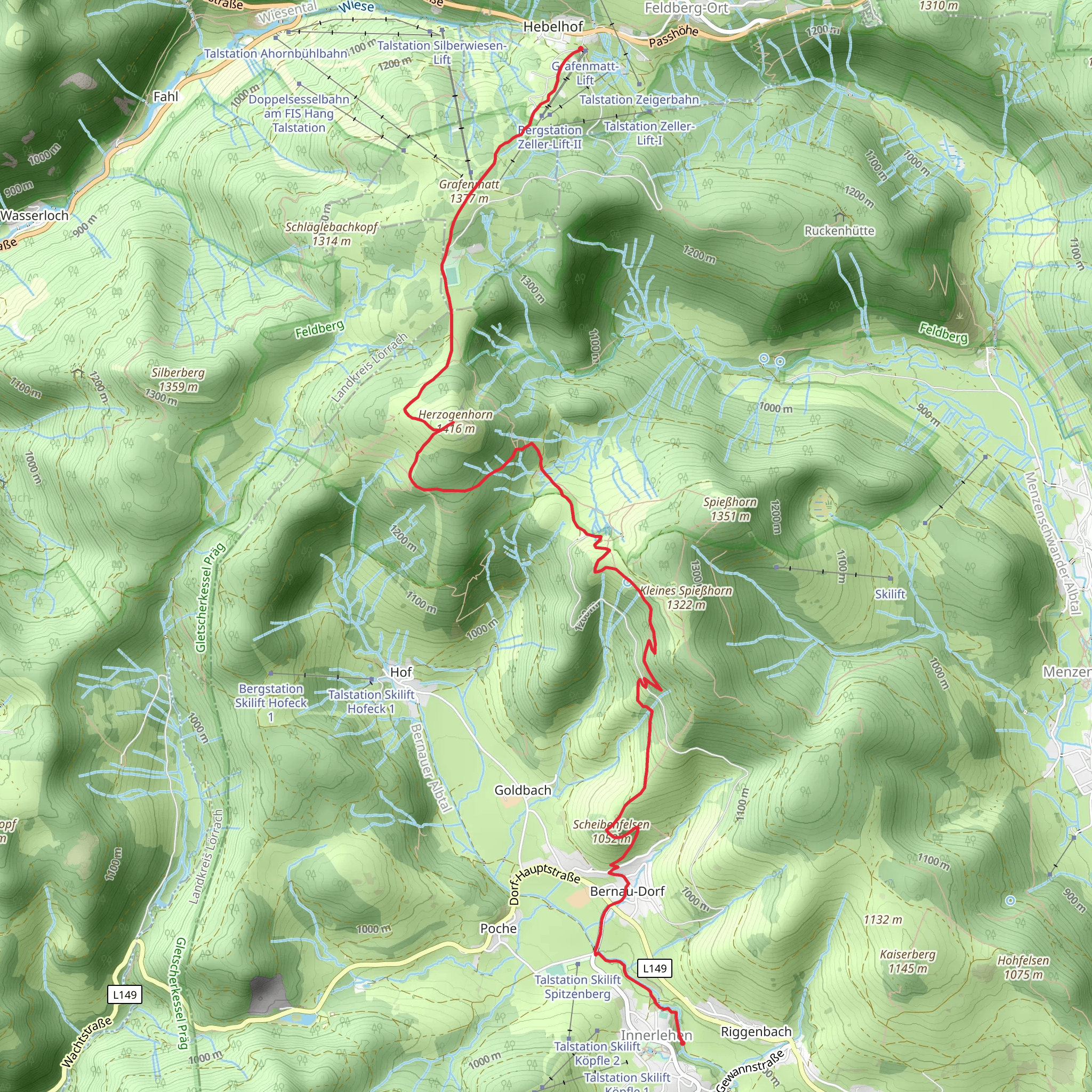
Starting near Waldshut, Germany, the Innerlehen to Grafenmatt Lift Walk via Herzogenhorn is a captivating point-to-point trail that stretches approximately 10 km (6.2 miles) with an elevation gain of around 600 meters (1,970 feet). This trail is rated medium in difficulty, making it suitable for moderately experienced hikers.
Getting There To reach the trailhead, you can either drive or use public transport. If driving, head towards Waldshut-Tiengen and follow the signs to Innerlehen. For those using public transport, take a train to Waldshut-Tiengen station and then a local bus to Innerlehen. The trailhead is conveniently located near the village, making it easily accessible.
Trail Overview The trail begins in the picturesque village of Innerlehen, nestled in the southern Black Forest. As you set off, you'll be greeted by lush forests and rolling hills. The initial part of the hike is relatively gentle, allowing you to ease into the journey.
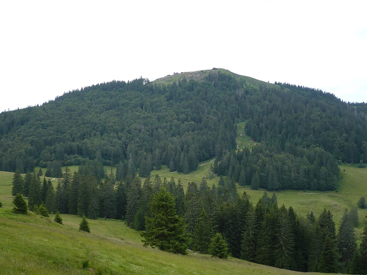
Herzogenhorn Around the 5 km (3.1 miles) mark, you'll reach Herzogenhorn, one of the highest peaks in the Black Forest at 1,415 meters (4,642 feet). The ascent to Herzogenhorn is the most challenging part of the hike, with a significant portion of the 600 meters (1,970 feet) elevation gain occurring here. However, the effort is well worth it. From the summit, you'll be rewarded with panoramic views of the surrounding valleys and, on clear days, even the distant Alps.
Flora and Fauna The trail is rich in biodiversity. As you hike, keep an eye out for the region's diverse flora, including various species of ferns, wildflowers, and ancient trees. Wildlife enthusiasts might spot deer, foxes, and a variety of bird species. The Black Forest is also home to the elusive lynx, though sightings are rare.
Historical Significance The Black Forest region is steeped in history and folklore. The area around Herzogenhorn has been inhabited since prehistoric times, and you might come across ancient stone markers and remnants of old settlements. The forest itself has inspired numerous legends and fairy tales, adding a mystical aura to your hike.
Grafenmatt Lift As you descend from Herzogenhorn, the trail gradually becomes easier. The final stretch leads you to the Grafenmatt Lift, a popular ski lift area. This part of the trail is more open, offering expansive views of the surrounding landscape. The Grafenmatt Lift area is a great place to rest and take in the scenery before concluding your hike.
Navigation For navigation, it's highly recommended to use HiiKER, which provides detailed maps and real-time updates to ensure you stay on track. The trail is well-marked, but having a reliable navigation tool can enhance your hiking experience.
Final Stretch The trail concludes at the Grafenmatt Lift, where you can either take a bus back to your starting point or arrange for a pickup. If you have time, consider exploring the nearby Feldberg, the highest peak in the Black Forest, which offers additional hiking opportunities and stunning vistas.
This hike offers a perfect blend of natural beauty, challenging terrain, and historical intrigue, making it a must-do for any hiking enthusiast visiting the Black Forest region.
What to expect?
Activity types
Comments and Reviews
User comments, reviews and discussions about the Innerlehen to Grafenmatt Lift Walk via Herzogenhorn, Germany.
4.33
average rating out of 5
3 rating(s)

