Download
Preview
Add to list
More
7.6 km
~1 hrs 45 min
150 m
Loop
“Experience lush forests, historical landmarks, and the fascinating Erdmannshohle cave on this moderate 8 km hike.”
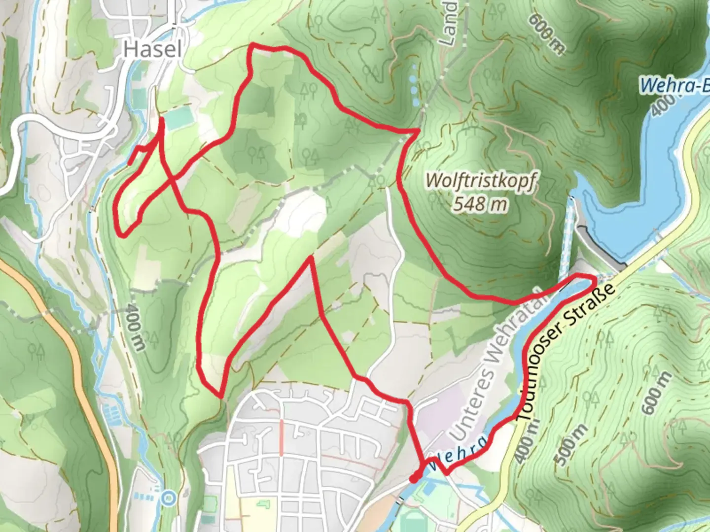
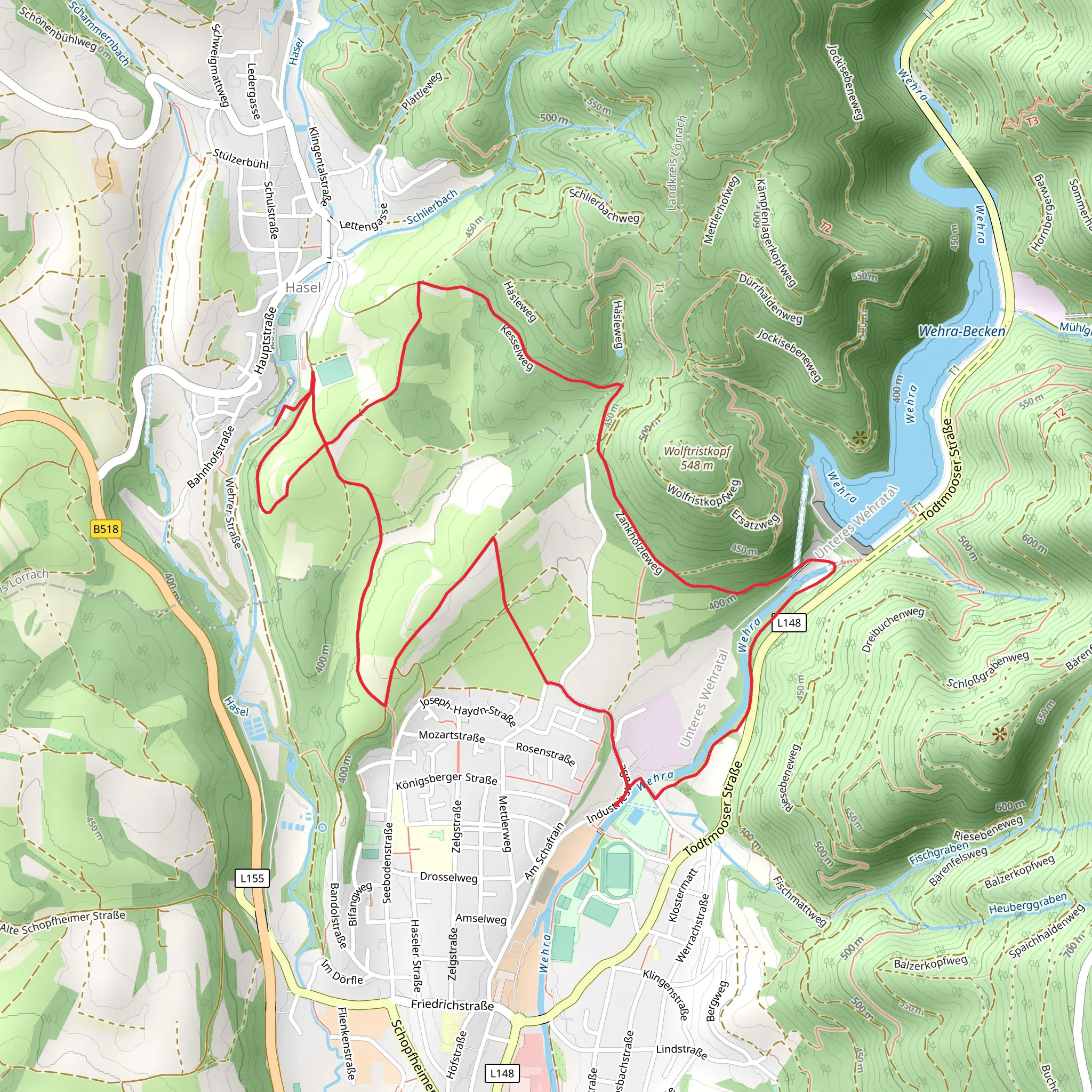
Starting your hike near Waldshut, Germany, the Hummelberg, Hasel and Erdmannshohle Loop is an 8 km (approximately 5 miles) trail with an elevation gain of around 100 meters (328 feet). This loop trail is rated as medium difficulty, making it suitable for moderately experienced hikers.
Getting There To reach the trailhead, you can either drive or use public transport. If you're driving, set your GPS to Waldshut, Germany, and look for parking options near the trailhead. For those using public transport, take a train or bus to Waldshut-Tiengen station. From there, local buses or a short taxi ride can get you to the starting point.
Trail Overview The trail begins with a gentle ascent through the lush forests of the Hummelberg area. As you hike, you'll be surrounded by a variety of flora, including oak, beech, and pine trees. Keep an eye out for local wildlife such as deer, foxes, and a variety of bird species.
Hummelberg Section At approximately 2 km (1.2 miles) into the hike, you'll reach the Hummelberg summit. Although the elevation gain is modest, the views from the top are rewarding, offering panoramic vistas of the surrounding countryside. This is a great spot to take a short break and enjoy the scenery.
Hasel and Erdmannshohle Continuing on, the trail descends slightly as you approach the village of Hasel. Here, you can explore the Erdmannshohle, a fascinating limestone cave that dates back millions of years. The cave is known for its impressive stalactites and stalagmites, and guided tours are available if you wish to delve deeper into its history and geology.
Historical Significance The region around Waldshut has a rich history, with evidence of human settlement dating back to the Roman era. As you hike, you'll come across several historical markers and ruins, including remnants of ancient Roman roads and medieval fortifications. These landmarks offer a glimpse into the area's past and add an educational element to your hike.
Navigation and Safety For navigation, it's highly recommended to use the HiiKER app, which provides detailed maps and real-time updates. The trail is well-marked, but having a reliable navigation tool will ensure you stay on track. Make sure to wear sturdy hiking boots, carry enough water, and pack a light snack or lunch to keep your energy levels up.
Final Stretch The final stretch of the loop takes you through more forested areas and open meadows, gradually leading you back to the starting point near Waldshut. This section is relatively flat, allowing you to cool down and reflect on the diverse landscapes and historical sites you've encountered along the way.
By the end of the hike, you'll have experienced a mix of natural beauty, historical intrigue, and moderate physical challenge, making the Hummelberg, Hasel and Erdmannshohle Loop a well-rounded adventure for any hiking enthusiast.
What to expect?
Activity types
Comments and Reviews
User comments, reviews and discussions about the Hummelberg, Hasel and Erdmannshohle Loop, Germany.
4.38
average rating out of 5
8 rating(s)
