Download
Preview
Add to list
More
7.5 km
~1 hrs 44 min
149 m
Loop
“The Udlerstraße Loop in Vulkaneifel, Germany, combines scenic nature, historical richness, and a moderate hiking challenge.”
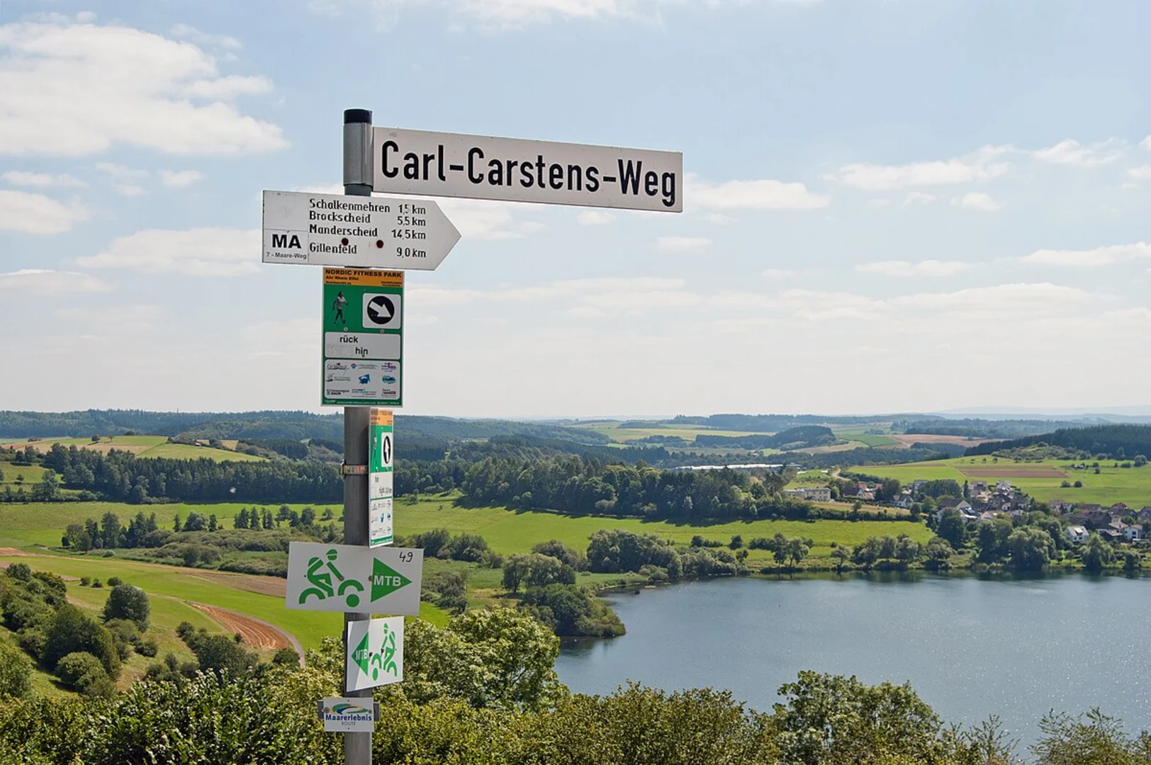
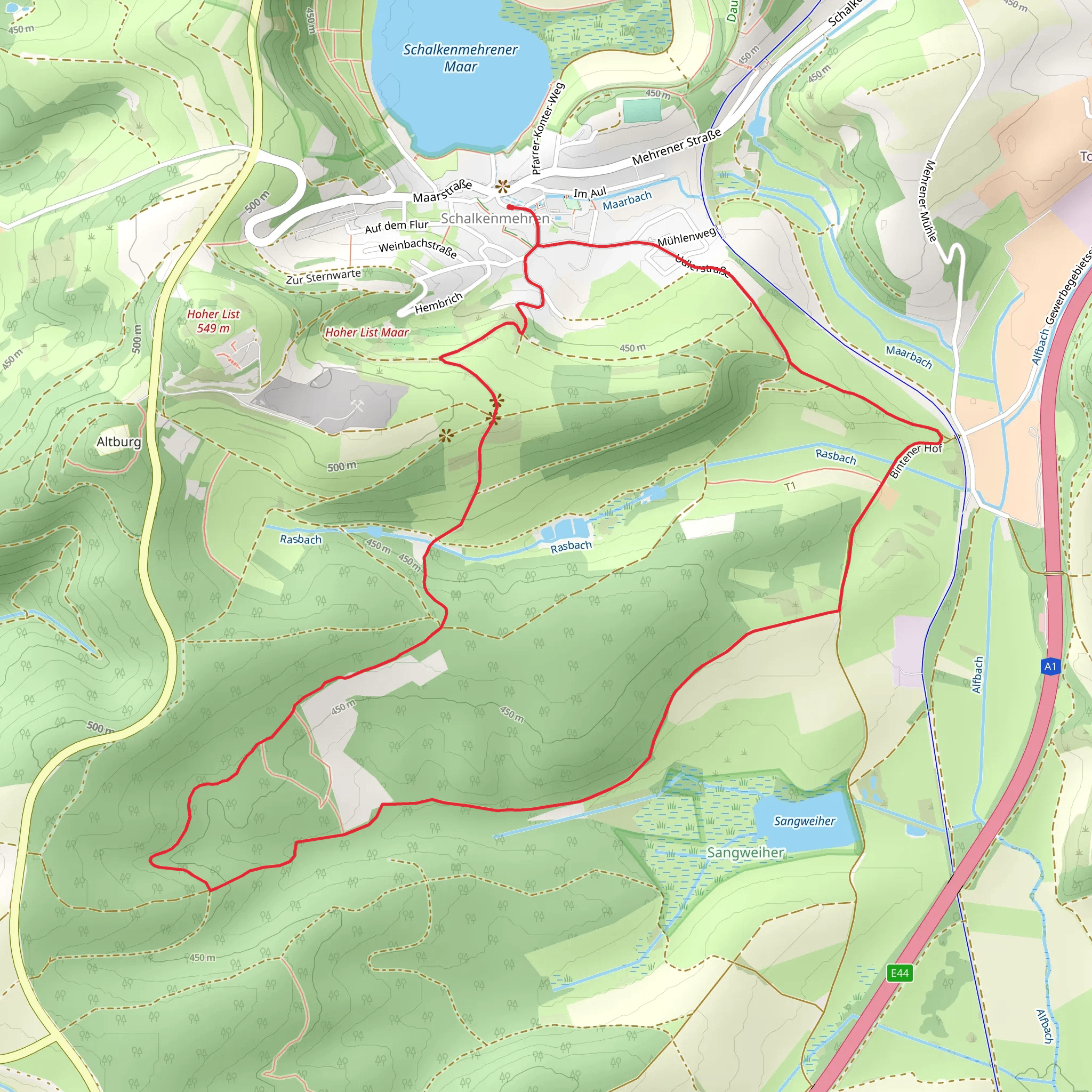
Starting near the picturesque region of Vulkaneifel in Germany, the Udlerstraße Loop is a delightful 7 km (approximately 4.35 miles) trail that offers a moderate challenge with an elevation gain of around 100 meters (328 feet). This loop trail is perfect for those looking to immerse themselves in the natural beauty and historical richness of the area.### Getting There To reach the trailhead, you can drive or use public transport. If you're driving, set your GPS to the nearest known address: Udlerstraße, 54552 Udler, Germany. For those relying on public transport, the closest major town is Daun. From Daun, you can take a local bus to Udler, which is a short ride away. Be sure to check the latest bus schedules for any changes.### Trail Overview The Udlerstraße Loop begins near the small village of Udler, nestled in the heart of the Vulkaneifel region. This area is renowned for its volcanic origins, which have shaped the landscape into a series of rolling hills and unique geological formations. As you start your hike, you'll notice the terrain is a mix of forested paths and open meadows, providing a variety of scenic views.### Key Landmarks and Points of Interest - Vulkaneifel Nature Park: As you traverse the trail, you'll be within the boundaries of the Vulkaneifel Nature Park. This park is home to a diverse range of flora and fauna, including rare plant species and a variety of birdlife. Keep an eye out for red kites and buzzards soaring above. - Maare: One of the most fascinating features of the Vulkaneifel region are the "maare," which are volcanic crater lakes. While the Udlerstraße Loop doesn't pass directly by any of these lakes, the nearby Schalkenmehrener Maar is worth a visit if you have extra time. - Historical Significance: The Vulkaneifel region has a rich history dating back to Roman times. The volcanic activity that shaped the landscape also provided fertile soil, making it an important agricultural area throughout history. You might come across remnants of old farmsteads and ancient pathways that have been used for centuries.### Trail Navigation The trail is well-marked, but it's always a good idea to have a reliable navigation tool. HiiKER is an excellent app for this purpose, offering detailed maps and real-time GPS tracking to ensure you stay on course.### Wildlife and Nature The Udlerstraße Loop is a haven for nature enthusiasts. The mixed woodlands are home to deer, foxes, and a variety of smaller mammals. In spring and summer, the meadows burst into color with wildflowers, attracting butterflies and bees. The forested sections provide a cool, shaded respite, especially during the warmer months.### Elevation and Terrain With an elevation gain of around 100 meters (328 feet), the trail offers a moderate challenge. The inclines are gradual, making it accessible for most hikers with a reasonable level of fitness. The highest points of the trail offer panoramic views of the surrounding countryside, a reward for your efforts.### Practical Tips - Footwear: Sturdy hiking boots are recommended, as some sections of the trail can be uneven or muddy, especially after rain. - Weather: The weather in the Vulkaneifel region can be unpredictable. It's wise to check the forecast before you set out and bring layers to adjust to changing conditions. - Supplies: Carry enough water and snacks, as there are no facilities directly on the trail. The village of Udler has a few small shops where you can stock up before starting your hike.The Udlerstraße Loop offers a perfect blend of natural beauty, historical intrigue, and moderate physical challenge, making it a rewarding experience for hikers of all levels.
What to expect?
Activity types
Comments and Reviews
User comments, reviews and discussions about the Udlerstraße Loop, Germany.
4.67
average rating out of 5
6 rating(s)

