Download
Preview
Add to list
More
10.2 km
~2 hrs 27 min
245 m
Loop
“Immerse in Vulkaneifel's scenic beauty and moderate challenge on the 10 km Lieser via Wasserfallweg trail.”
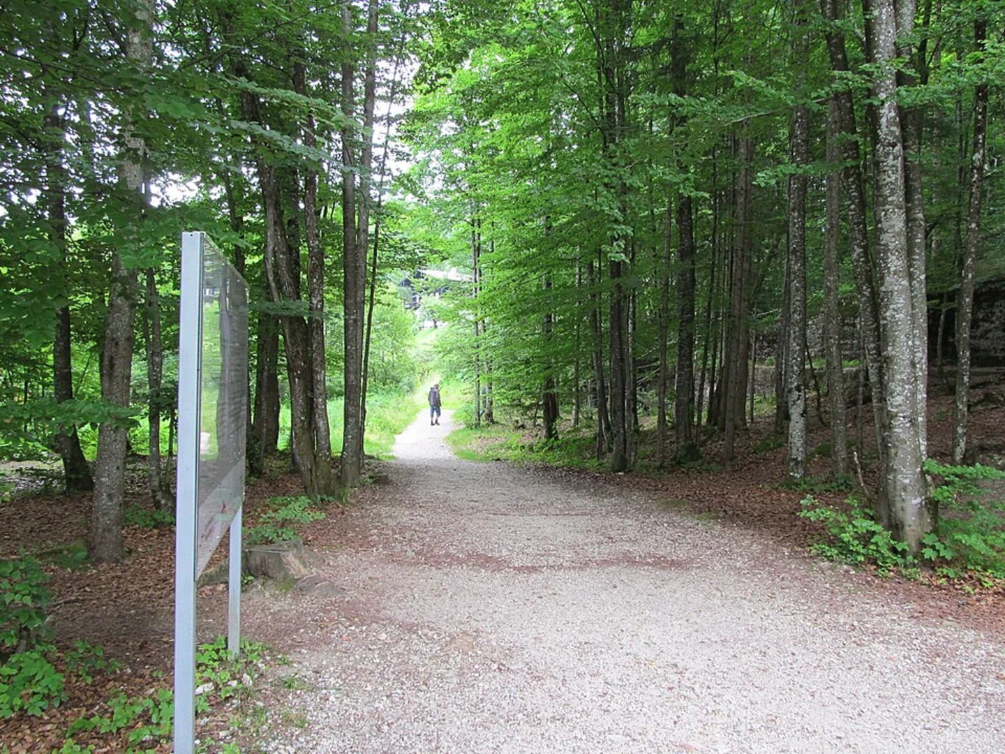
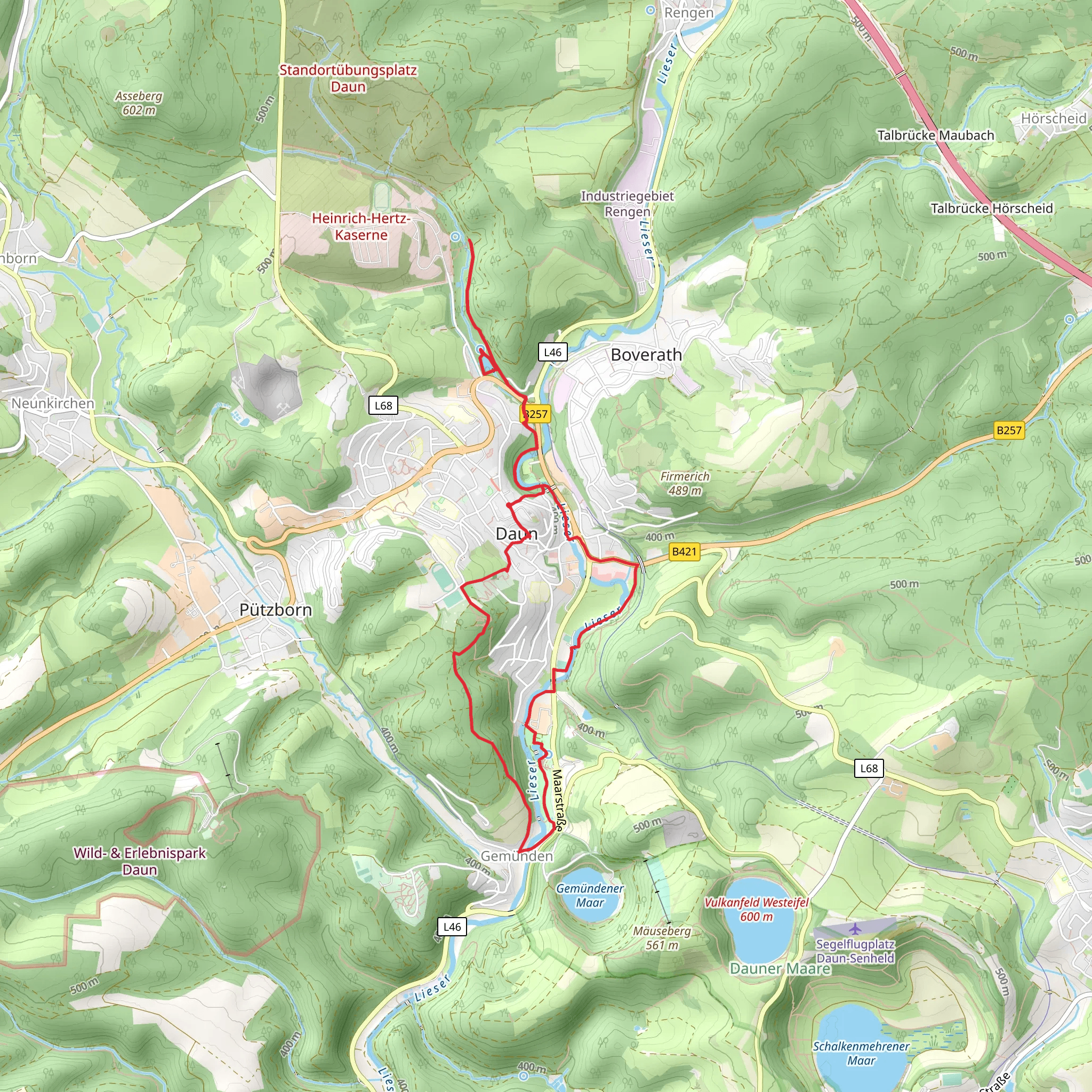
Starting near the picturesque region of Vulkaneifel in Germany, this 10 km (approximately 6.2 miles) loop trail offers a delightful mix of natural beauty and moderate physical challenge. With an elevation gain of around 200 meters (about 656 feet), the Lieser via Wasserfallweg trail is perfect for those looking to immerse themselves in the serene landscapes of the Eifel region.### Getting There To reach the trailhead, you can drive or use public transport. If you're driving, set your GPS to the nearest known address: Dauner Straße, 54552 Mehren, Germany. For those using public transport, the closest major town is Daun, which is well-connected by bus and train services. From Daun, you can take a local bus or taxi to Mehren, where the trail begins.### Trail Highlights The Lieser via Wasserfallweg trail is renowned for its scenic beauty and diverse landscapes. As you embark on this loop, you'll traverse through dense forests, open meadows, and along the serene Lieser River. The trail is well-marked, but it's always a good idea to have the HiiKER app handy for navigation.#### Waterfall and River Views One of the most captivating features of this trail is the Wasserfallweg, or "Waterfall Way." Approximately 3 km (1.9 miles) into the hike, you'll encounter a charming waterfall. This spot is perfect for a short break, allowing you to enjoy the soothing sounds of cascading water and the lush greenery surrounding it.#### Flora and Fauna The Vulkaneifel region is rich in biodiversity. As you hike, keep an eye out for various species of birds, including woodpeckers and owls. The forested sections of the trail are home to deer and foxes, while the meadows are often dotted with wildflowers, especially in the spring and summer months.### Historical Significance The Vulkaneifel region is steeped in geological history. Formed by volcanic activity millions of years ago, the area is characterized by its unique volcanic landscapes. As you hike, you'll notice the remnants of ancient volcanic craters and lava flows, which add a fascinating geological dimension to your journey.#### Points of Interest Around the 6 km (3.7 miles) mark, you'll come across the ruins of an old mill, a testament to the region's historical reliance on water power. This site offers a glimpse into the past and is a great spot for photography enthusiasts.### Trail Conditions and Safety The Lieser via Wasserfallweg trail is rated as medium difficulty. While the elevation gain is moderate, some sections can be steep and rocky, so sturdy hiking boots are recommended. The trail can be muddy after rain, so be prepared for potentially slippery conditions.### Final Stretch As you near the end of the loop, the trail will bring you back to Mehren, where you can relax and perhaps enjoy a meal at one of the local eateries. The entire hike typically takes around 3 to 4 hours, depending on your pace and the number of stops you make along the way.This trail offers a perfect blend of natural beauty, moderate physical challenge, and historical intrigue, making it a must-visit for any hiking enthusiast exploring the Vulkaneifel region.
What to expect?
Activity types
Comments and Reviews
User comments, reviews and discussions about the Lieser via Wasserfallweg, Germany.
4.4
average rating out of 5
5 rating(s)

