Download
Preview
Add to list
More
9.7 km
~2 hrs 38 min
418 m
Loop
“Explore the Vulkaneifel's volcanic wonders on a captivating 10 km trail with scenic views and historical landmarks.”
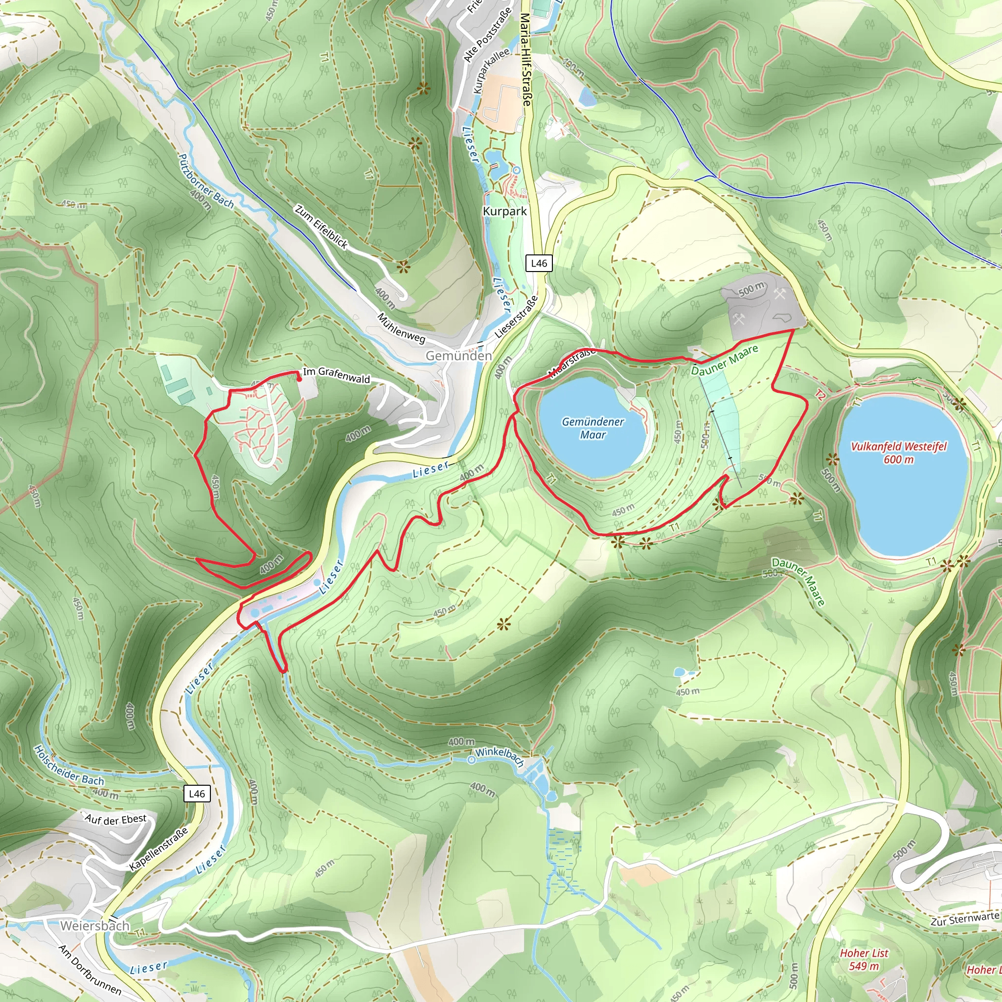
Starting near the picturesque region of Vulkaneifel in Germany, the Dronketurm and Gemündener Maar Loop via Lieserpfad is a captivating 10 km (6.2 miles) loop trail with an elevation gain of approximately 400 meters (1,312 feet). This trail offers a moderate challenge, making it suitable for hikers with some experience.### Getting There To reach the trailhead, you can drive or use public transport. If driving, set your GPS to the town of Daun, which is the nearest significant landmark. From Daun, follow the signs to the Vulkaneifel region. For those using public transport, take a train to the Daun station and then a local bus or taxi to the trailhead.### Trail Highlights
Dronketurm
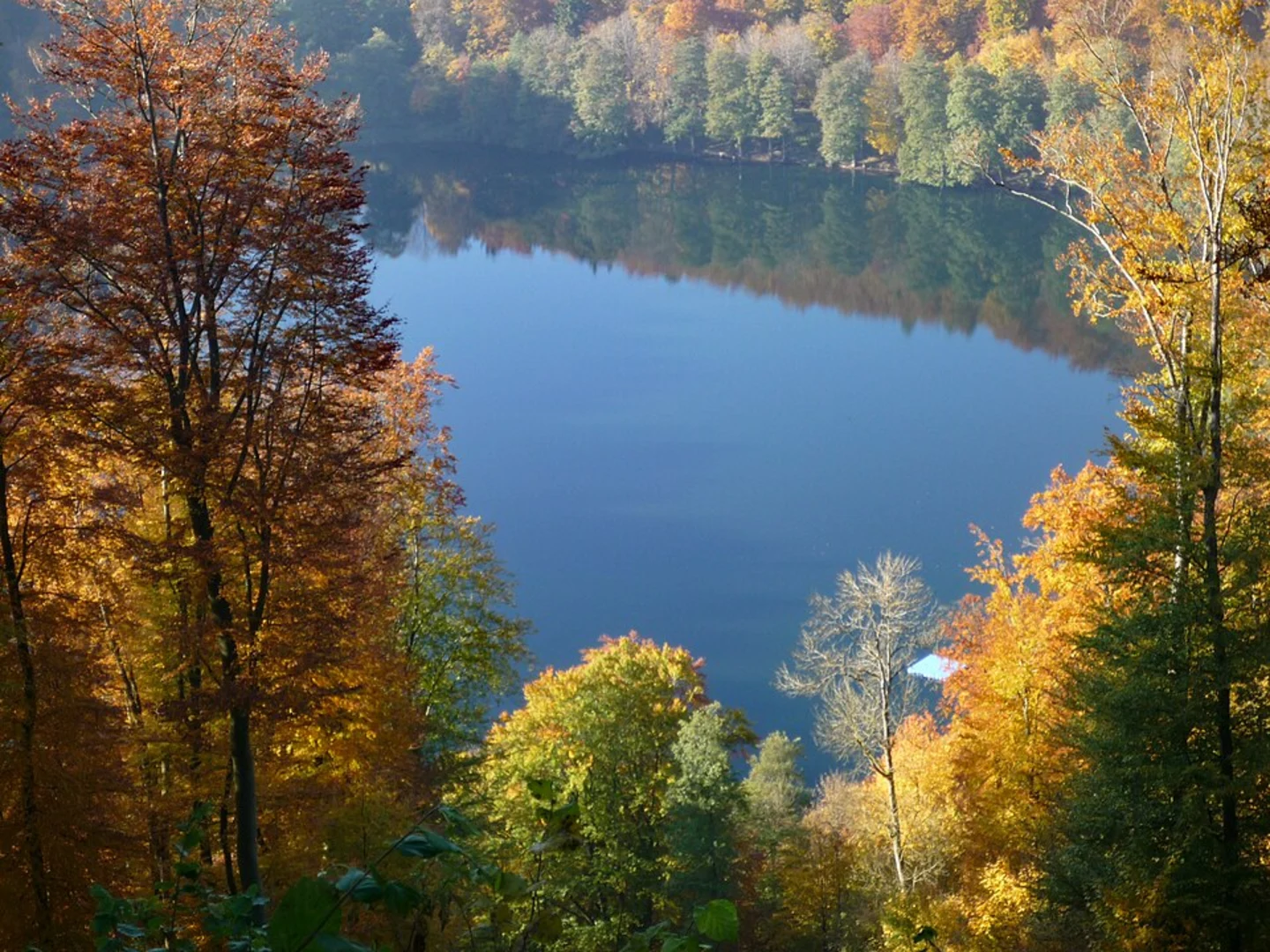
One of the first significant landmarks you'll encounter is the Dronketurm, a historic observation tower. Built in 1900, this tower offers panoramic views of the surrounding volcanic landscape. The climb to the top is well worth the effort, providing a unique vantage point to appreciate the Vulkaneifel's geological features.#### Gemündener Maar Continuing along the trail, you'll come across the Gemündener Maar, one of the region's famous volcanic lakes. Formed by volcanic activity thousands of years ago, this maar is a serene spot perfect for a short break. The clear waters and lush surroundings make it a popular spot for both locals and tourists.### Nature and Wildlife The trail meanders through dense forests and open meadows, offering a diverse range of flora and fauna. Keep an eye out for native wildlife such as deer, foxes, and a variety of bird species. The forested sections are particularly beautiful in the autumn when the leaves change color, creating a vibrant tapestry of reds, oranges, and yellows.### Historical Significance The Vulkaneifel region is steeped in geological history, with its landscape shaped by volcanic activity over millions of years. The Dronketurm itself is a testament to the area's historical significance, built to commemorate the region's unique geological features. As you hike, you'll notice various information boards detailing the volcanic history and the formation of the maars.### Navigation For navigation, it's highly recommended to use the HiiKER app, which provides detailed maps and real-time updates. The trail is well-marked, but having a reliable navigation tool will ensure you stay on track and can fully enjoy the experience without any worries.### Elevation and Terrain The trail features a mix of ascents and descents, with the most significant climb being the approach to the Dronketurm. The elevation gain of 400 meters (1,312 feet) is spread out over the 10 km (6.2 miles), making it manageable for those with a moderate level of fitness. The terrain varies from well-trodden paths to rocky sections, so sturdy hiking boots are recommended.### Practical Tips - Water and Snacks: There are no facilities along the trail, so bring enough water and snacks to keep you energized. - Weather: The weather in the Vulkaneifel can be unpredictable, so check the forecast and dress in layers. - Safety: While the trail is generally safe, always let someone know your plans and estimated return time.This loop trail offers a perfect blend of natural beauty, historical landmarks, and moderate physical challenge, making it a must-visit for any hiking enthusiast exploring the Vulkaneifel region.
What to expect?
Activity types
Comments and Reviews
User comments, reviews and discussions about the Dronketurm and Gemündener Maar Loop via Lieserpfad, Germany.
4.29
average rating out of 5
7 rating(s)

