Download
Preview
Add to list
More
5.4 km
~1 hrs 24 min
205 m
Loop
“Explore the scenic Hinzenburgermuhle Loop: a 5 km, medium-difficulty trail with historical charm and diverse wildlife.”
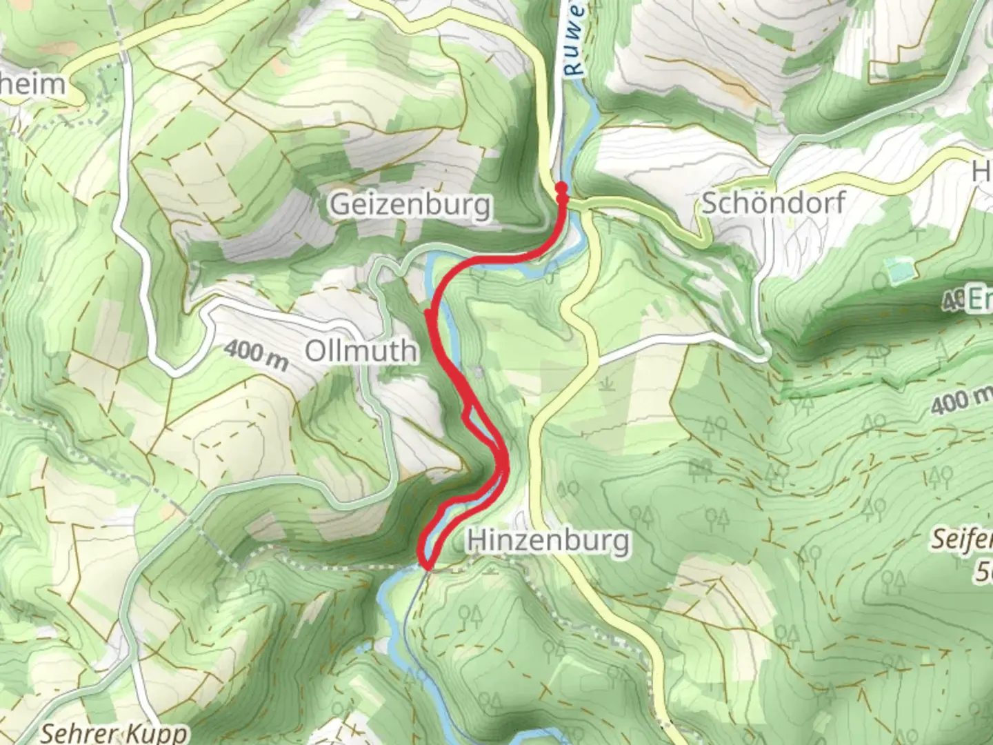
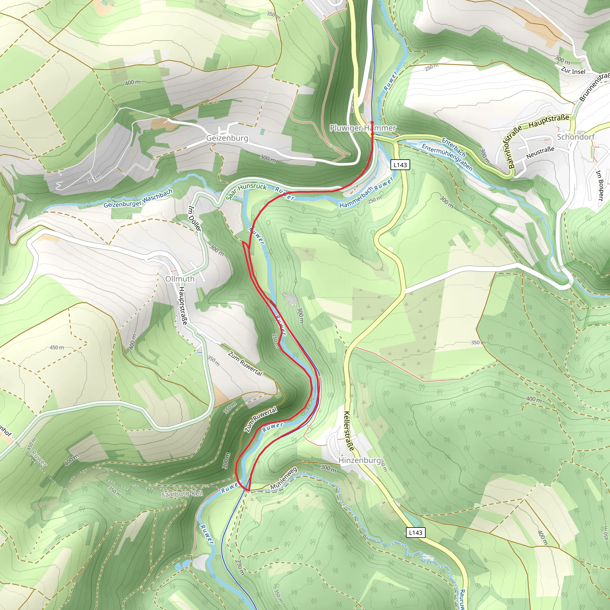
Starting near Trier-Saarburg, Germany, the Hinzenburgermuhle Loop is a delightful 5 km (3.1 miles) trail with an elevation gain of around 200 meters (656 feet). This loop trail is rated as medium difficulty, making it suitable for hikers with some experience.### Getting There To reach the trailhead, you can drive or use public transport. If driving, set your GPS to the nearest known address: Hinzenburgermühle, 54441 Wellen, Germany. For those using public transport, take a train to Trier Hauptbahnhof and then a bus towards Wellen. The bus stop closest to the trailhead is "Wellen, Hinzenburgermühle."### Trail Overview The trail begins near the picturesque Hinzenburgermühle, an old mill that adds a touch of historical charm to your hike. As you start, you'll be greeted by a gentle ascent through lush forests, offering a serene atmosphere and the occasional chirping of birds. The first kilometer (0.6 miles) is relatively easy, allowing you to warm up and enjoy the natural surroundings.### Key Landmarks and Nature At around the 1.5 km (0.9 miles) mark, you'll come across a small clearing with a beautiful view of the surrounding countryside. This is a great spot to take a short break and soak in the scenery. Continuing on, the trail becomes steeper, gaining most of its elevation between the 2 km (1.2 miles) and 3 km (1.9 miles) marks. Here, you'll encounter a mix of deciduous and coniferous trees, providing a diverse habitat for local wildlife such as deer, foxes, and various bird species.### Historical Significance The region around Trier-Saarburg is rich in history, dating back to Roman times. While the trail itself doesn't feature any ancient ruins, the nearby town of Trier is home to several Roman monuments, including the Porta Nigra and the Roman Amphitheatre. These landmarks are worth a visit if you have extra time.### Navigation and Safety The trail is well-marked, but it's always a good idea to have a reliable navigation tool. HiiKER is an excellent app for this purpose, offering detailed maps and real-time tracking to ensure you stay on course. The trail can be muddy after rain, so waterproof hiking boots are recommended. Also, bring enough water and snacks, as there are no facilities along the route.### Final Stretch As you descend back towards the trailhead, the path becomes easier, allowing you to relax and enjoy the final stretch. The last kilometer (0.6 miles) takes you through open fields, offering a different but equally beautiful landscape compared to the forested sections.This loop trail provides a balanced mix of natural beauty, moderate physical challenge, and a touch of historical context, making it a rewarding experience for any hiker.
What to expect?
Activity types
Comments and Reviews
User comments, reviews and discussions about the Hinzenburgermuhle Loop, Germany.
4.75
average rating out of 5
4 rating(s)
