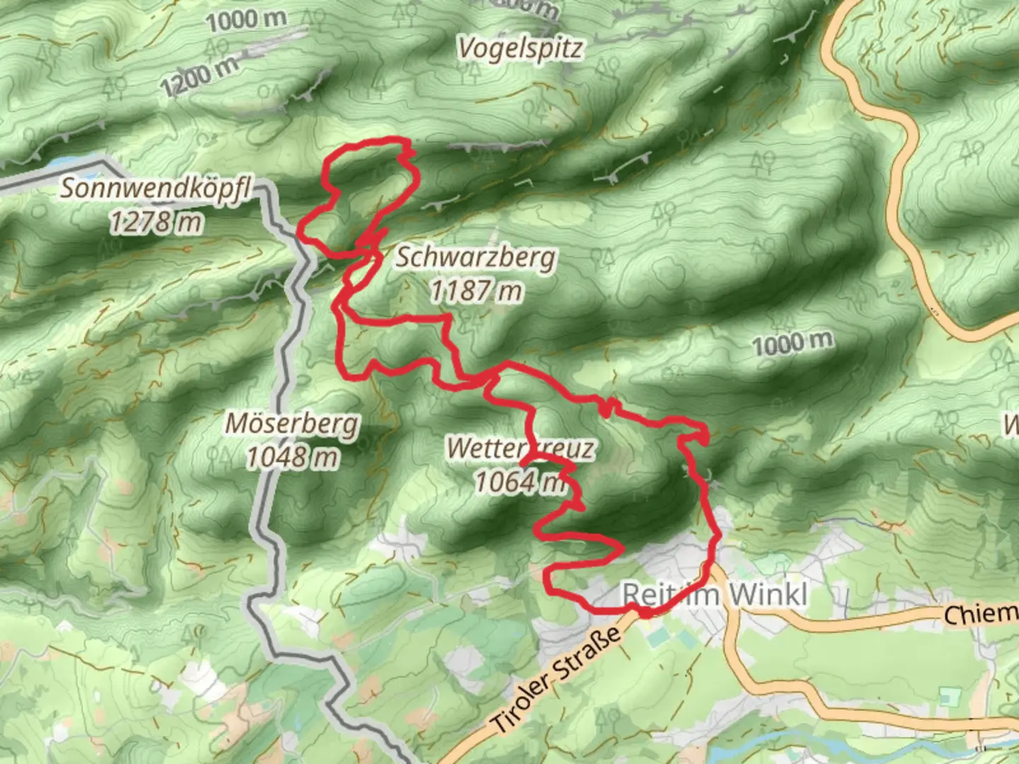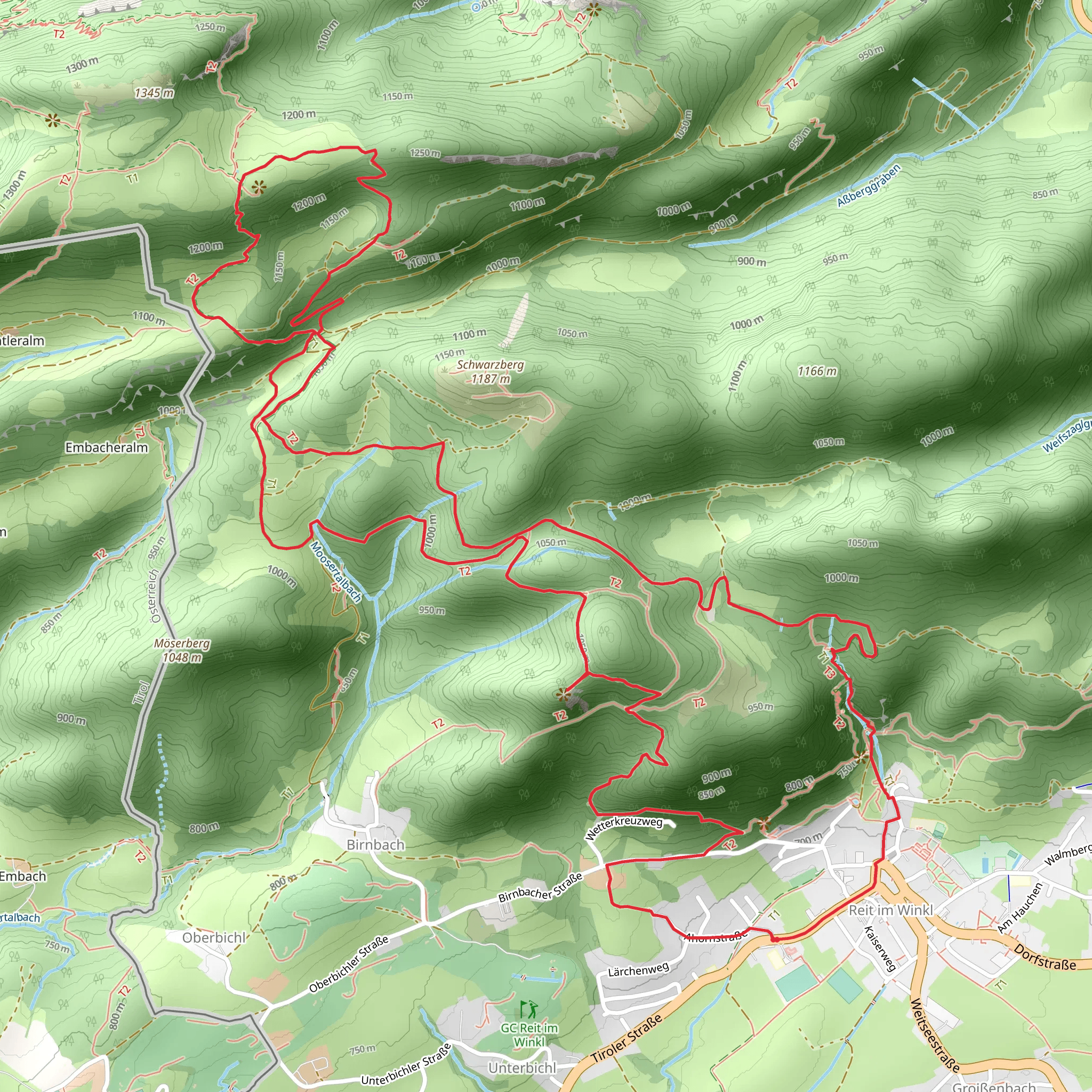
Wetterkreuz, Chiemsee Blick and Hausbachfall Loop - Reit im Winkl
Download
Preview
Add to list
More
12.1 km
~4 hrs 1 min
953 m
Loop
“This 12 km loop near Traunstein, Germany, blends stunning nature, history, and panoramic views for an enriching hike.”
Starting near Traunstein, Germany, the Wetterkreuz, Chiemsee Blick and Hausbachfall Loop is a captivating 12 km (7.5 miles) loop trail with an elevation gain of approximately 900 meters (2,950 feet). This medium-difficulty trail offers a blend of natural beauty, historical landmarks, and panoramic views, making it a must-visit for hikers.### Getting There To reach the trailhead, you can drive or use public transport. If driving, head towards Traunstein and follow the signs to Reit im Winkl. There are parking facilities available near the starting point. For those using public transport, take a train to Traunstein and then a bus to Reit im Winkl. The nearest significant landmark to the trailhead is the Reit im Winkl Tourist Information Center.### Trail Highlights#### Wetterkreuz The trail begins with a steady ascent towards Wetterkreuz. This section is approximately 4 km (2.5 miles) long and gains about 400 meters (1,300 feet) in elevation. The path is well-marked and winds through dense forests, offering occasional glimpses of the surrounding mountains. Wetterkreuz itself is a historical landmark, a cross that has stood for centuries, serving as a waypoint for travelers and a symbol of the region's rich history.#### Chiemsee Blick Continuing from Wetterkreuz, the trail leads you to Chiemsee Blick, a viewpoint offering stunning vistas of Lake Chiemsee and the Bavarian Alps. This section is about 3 km (1.9 miles) long with an elevation gain of 300 meters (985 feet). The viewpoint is an excellent spot for a break, allowing you to soak in the breathtaking scenery. On clear days, you can see the Herrenchiemsee Palace, built by King Ludwig II, adding a touch of historical significance to the natural beauty.#### Hausbachfall The final highlight of the loop is Hausbachfall, a picturesque waterfall located about 5 km (3.1 miles) from Chiemsee Blick. The descent towards the waterfall is gradual, losing around 200 meters (655 feet) in elevation. The trail here is surrounded by lush greenery and the sound of cascading water grows louder as you approach. Hausbachfall is a serene spot, perfect for photography and relaxation.### Nature and Wildlife The trail traverses diverse ecosystems, from dense forests to open meadows. Keep an eye out for local wildlife, including deer, foxes, and a variety of bird species. The flora is equally impressive, with seasonal wildflowers adding splashes of color to the landscape.### Navigation and Safety For navigation, it's recommended to use HiiKER, which provides detailed maps and real-time updates. The trail is well-marked, but having a reliable navigation tool ensures you stay on track. Wear sturdy hiking boots, carry sufficient water, and be prepared for changing weather conditions, as the elevation gain can lead to cooler temperatures at higher altitudes.### Historical Significance The region around Traunstein and Reit im Winkl is steeped in history. From the ancient cross at Wetterkreuz to the distant views of Herrenchiemsee Palace, the trail offers a journey through time as well as nature. The area has been a crossroads for travelers for centuries, and the landmarks along the trail reflect its historical importance.This 12 km loop trail near Traunstein, Germany, offers a perfect blend of natural beauty, historical landmarks, and panoramic views, making it an enriching experience for hikers.
What to expect?
Activity types
Comments and Reviews
User comments, reviews and discussions about the Wetterkreuz, Chiemsee Blick and Hausbachfall Loop - Reit im Winkl, Germany.
4.6
average rating out of 5
5 rating(s)
