Download
Preview
Add to list
More
11.6 km
~3 hrs 1 min
419 m
Loop
“Explore the scenic, historical Lachbergblick and Langenbach trail in Südwestpfalz, Germany, with enchanting views and diverse wildlife.”
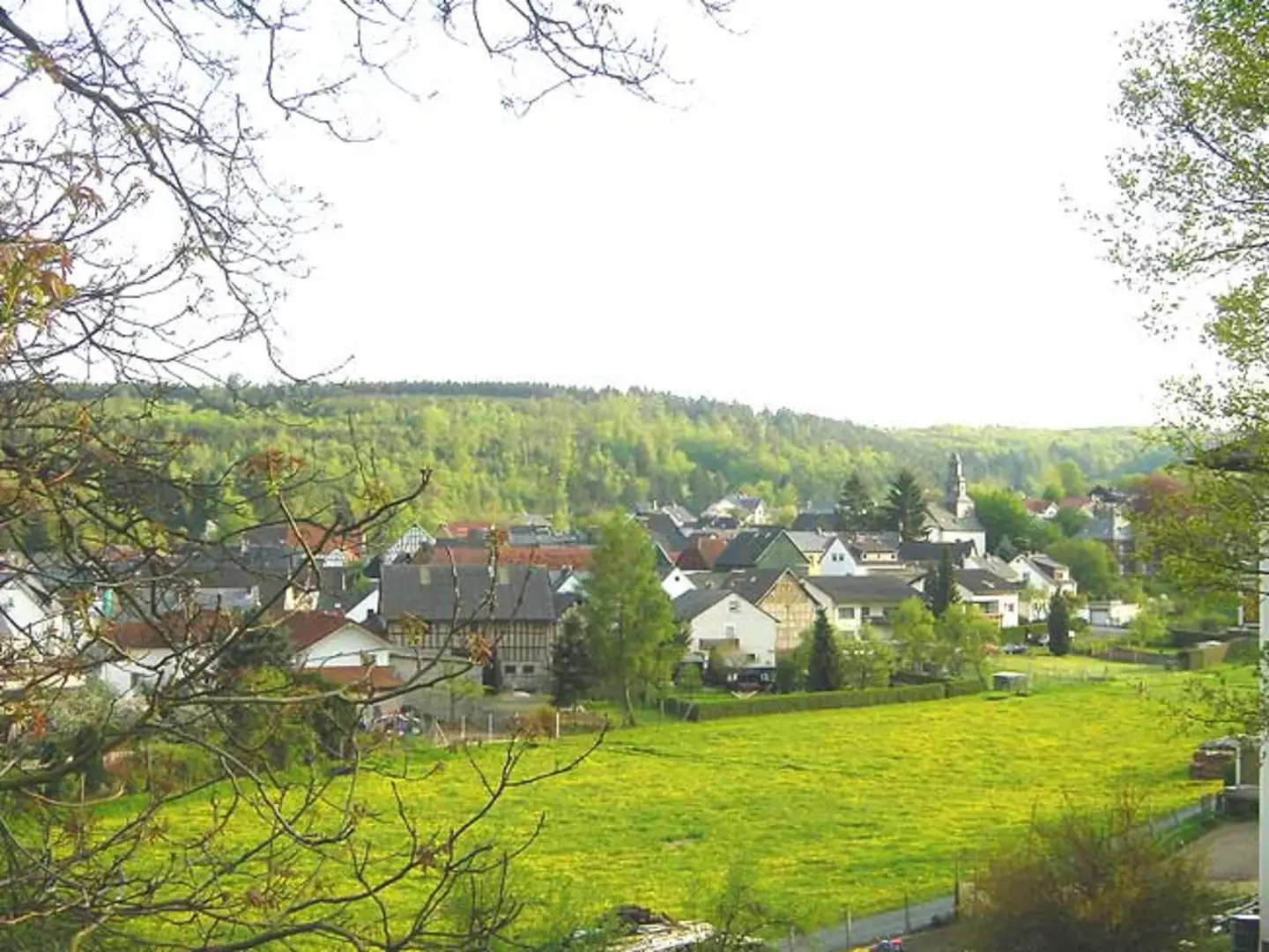
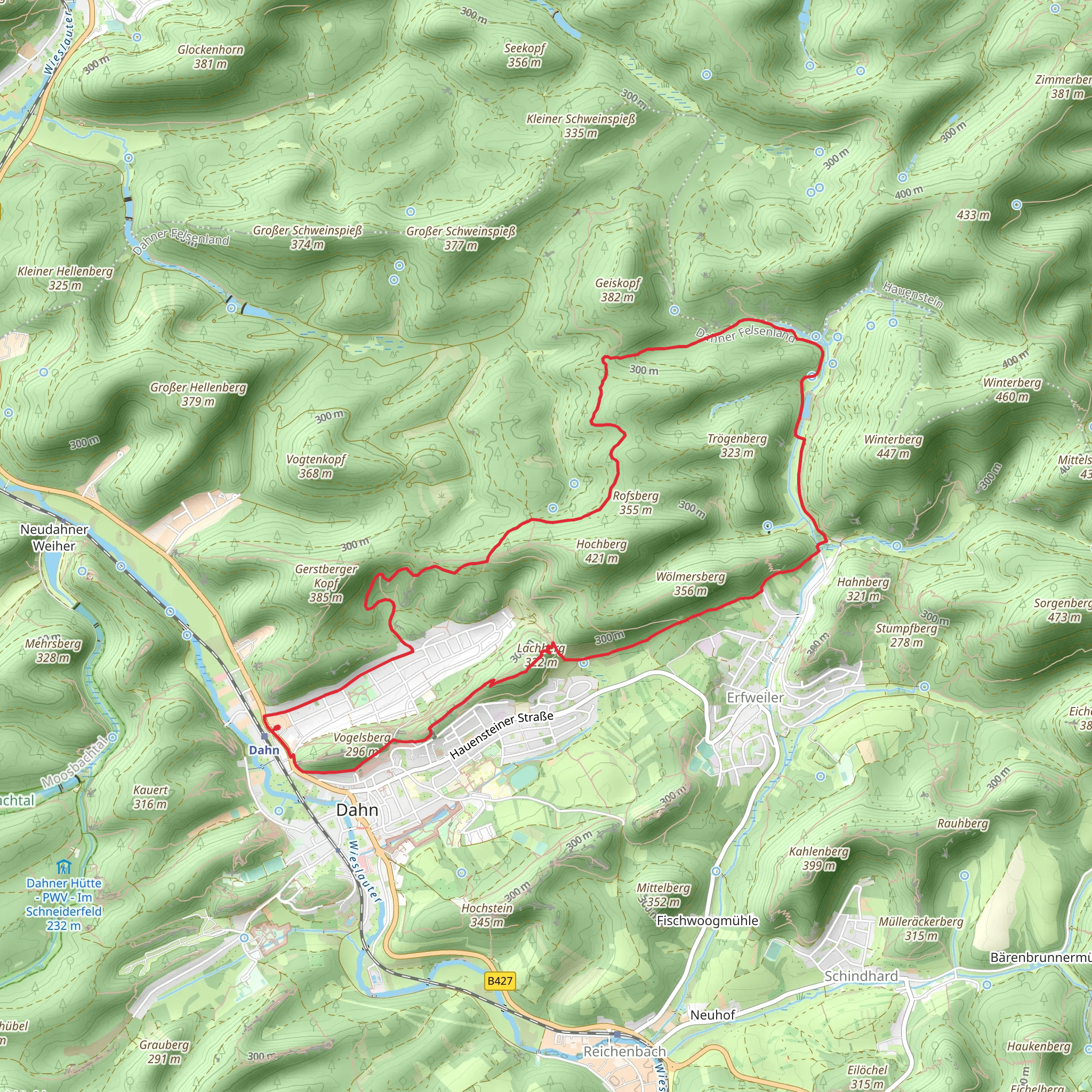
Starting your hike near Südwestpfalz, Germany, the Lachbergblick and Langenbach via Rentnerpfad trail offers a delightful 12 km (7.5 miles) loop with an elevation gain of around 400 meters (1,312 feet). This medium-difficulty trail is perfect for those looking to explore the scenic beauty and historical richness of the region.### Getting There To reach the trailhead, you can drive or use public transport. If driving, set your GPS to the nearest known address: Hauptstraße 1, 66957 Eppenbrunn, Germany. For public transport, take a train to Pirmasens Hauptbahnhof and then a bus to Eppenbrunn. From there, it's a short walk to the trailhead.### Trail Overview The trail begins with a gentle ascent through lush forests, offering a serene start to your hike. As you progress, you'll encounter a mix of deciduous and coniferous trees, providing a rich tapestry of colors, especially in autumn. The first significant landmark is the Lachbergblick viewpoint, approximately 3 km (1.86 miles) into the hike. Here, you can take a moment to enjoy panoramic views of the surrounding valleys and hills.### Flora and Fauna The trail is home to a variety of wildlife, including deer, foxes, and numerous bird species. Keep an eye out for the European Green Woodpecker and the Eurasian Jay, both commonly seen in this area. The flora is equally diverse, with wildflowers such as the Common Hepatica and Wood Anemone adding splashes of color to the forest floor.### Historical Significance Around the 6 km (3.73 miles) mark, you'll come across remnants of historical significance. The area was once a strategic location during various European conflicts, and you may find old bunkers and fortifications hidden among the trees. These relics serve as a poignant reminder of the region's turbulent past.### Midpoint and Elevation Gain As you reach the midpoint of the trail, you'll have gained approximately 200 meters (656 feet) in elevation. This section offers a mix of steep climbs and gentle slopes, making it a good workout without being overly strenuous. The trail is well-marked, but it's advisable to use HiiKER for navigation to ensure you stay on track.### Langenbach and Return The trail then descends towards Langenbach, a picturesque village where you can take a short break. The village is known for its charming half-timbered houses and a small, serene stream that runs through it. After exploring Langenbach, the trail loops back towards the starting point, offering a more relaxed descent through meadows and light forest.### Final Stretch The final 3 km (1.86 miles) of the trail are relatively flat, allowing you to cool down as you make your way back to the trailhead. This section is particularly beautiful in the late afternoon when the sun filters through the trees, casting a golden glow on the path.### Practical Tips - Wear sturdy hiking boots as the trail can be uneven in places. - Bring enough water and snacks, especially if you plan to take breaks and explore the historical sites. - Check the weather forecast before heading out, as the trail can be slippery after rain. - Use HiiKER for real-time navigation and updates on trail conditions.This trail offers a perfect blend of natural beauty, wildlife, and historical intrigue, making it a must-visit for any hiking enthusiast.
What to expect?
Activity types
Comments and Reviews
User comments, reviews and discussions about the Lachbergblick and Langenbach via Rentnerpfad, Germany.
average rating out of 5
0 rating(s)

