Download
Preview
Add to list
More
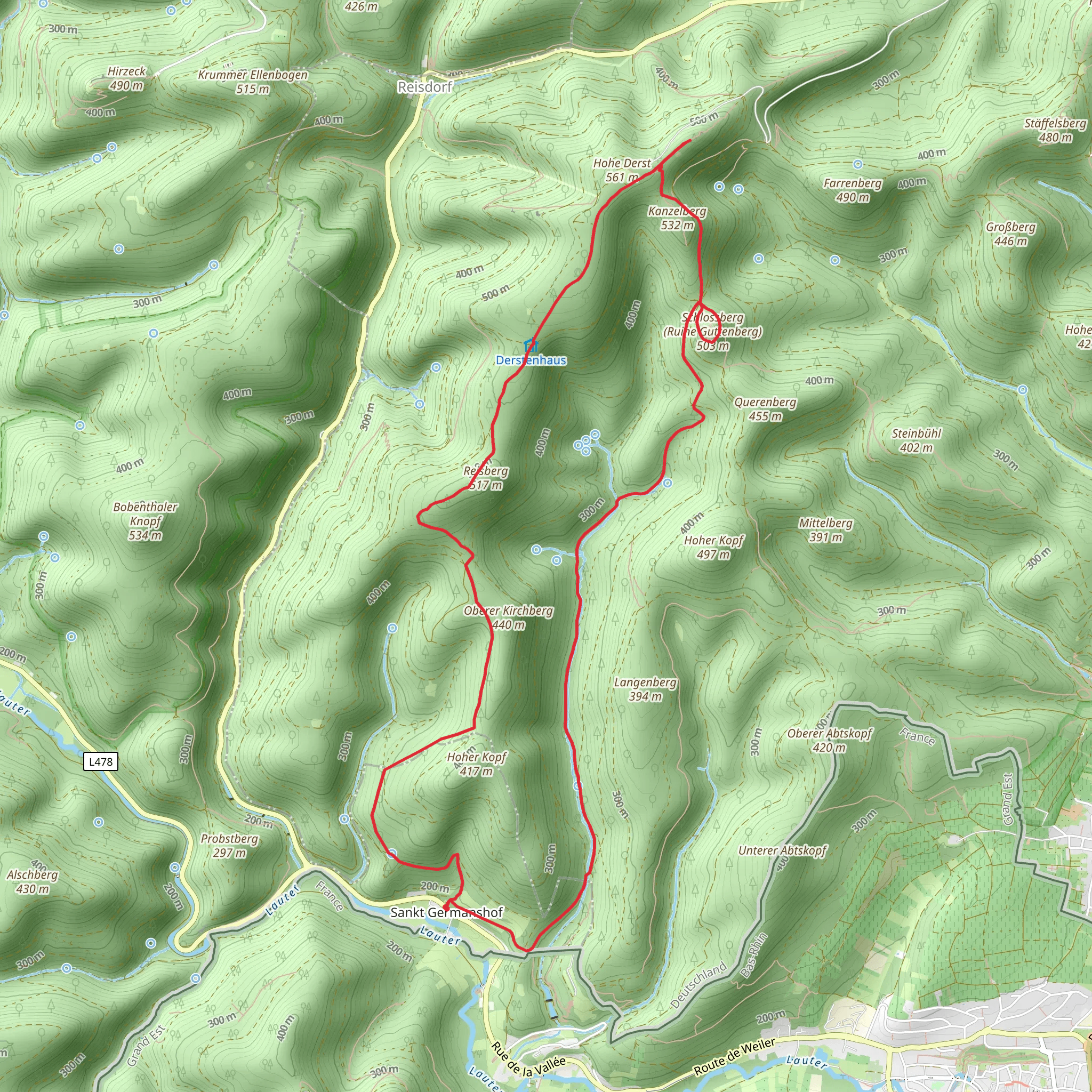
13.3 km
~3 hrs 34 min
549 m
Loop
“Explore natural beauty and historical intrigue on the scenic, moderately challenging Buchbachweg and Steinerner Tisch Loop.”
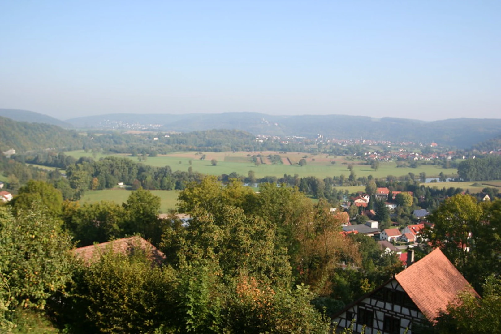
Starting near the charming town of Südwestpfalz in Germany, this 13 km (8 miles) loop trail offers a delightful mix of natural beauty and historical intrigue. With an elevation gain of approximately 500 meters (1,640 feet), the Buchbachweg and Steinerner Tisch Loop is rated as medium difficulty, making it suitable for moderately experienced hikers.### Getting There To reach the trailhead, you can either drive or use public transport. If you're driving, set your GPS to the nearest known address in Südwestpfalz. For those relying on public transport, take a train to the nearest station in Pirmasens and then a local bus to the trailhead area. The bus routes are well-connected, and schedules can be checked on local transit websites.### Trail Highlights
Buchbachweg Section
The trail begins with a gentle ascent through dense forests, where the air is filled with the scent of pine and the sounds of chirping birds. After about 2 km (1.2 miles), you'll come across the Buchbach stream, a serene spot perfect for a short break. The trail follows the stream for a while, offering picturesque views of the flowing water and occasional glimpses of local wildlife such as deer and various bird species.#### Steinerner Tisch Around the 5 km (3.1 miles) mark, you'll reach the Steinerner Tisch, a significant historical landmark. This stone table is believed to have been used for medieval gatherings and possibly even as a site for local judicial proceedings. The area around Steinerner Tisch is also a great spot for a picnic, offering panoramic views of the surrounding landscape.### Flora and Fauna The trail is rich in biodiversity. In the spring and summer months, you'll find a variety of wildflowers, including orchids and lilies, adding splashes of color to the green surroundings. The forested areas are home to a variety of wildlife, including foxes, badgers, and numerous bird species. Keep an eye out for the European green woodpecker, often seen and heard in these woods.### Navigation and Safety Given the moderate difficulty of the trail, it's advisable to use a reliable navigation tool like HiiKER to keep track of your progress and ensure you stay on the right path. The trail is well-marked, but having a digital map can be very helpful, especially in the denser forest sections.### Final Stretch The last 3 km (1.9 miles) of the trail involve a descent back towards the starting point. This section offers more open views, with rolling hills and meadows stretching out before you. It's a great opportunity to take in the broader landscape and reflect on the journey.### Historical Significance The Südwestpfalz region has a rich history, with evidence of human settlement dating back to the Roman era. The trail itself passes through areas that were once significant in medieval times, as evidenced by landmarks like the Steinerner Tisch. This adds an extra layer of interest to your hike, making it not just a physical journey but a historical one as well.Whether you're a seasoned hiker or someone looking to explore the natural and historical beauty of Germany, the Buchbachweg and Steinerner Tisch Loop offers a rewarding experience.
What to expect?
Activity types
Comments and Reviews
User comments, reviews and discussions about the Buchbachweg and Steinerner Tisch Loop, Germany.
5.0
average rating out of 5
1 rating(s)

