Download
Preview
Add to list
More
10.5 km
~2 hrs 36 min
299 m
Point-to-Point
“Embark on a scenic journey through lush vineyards, historical landmarks, and vibrant cultural heritage near Stuttgart.”
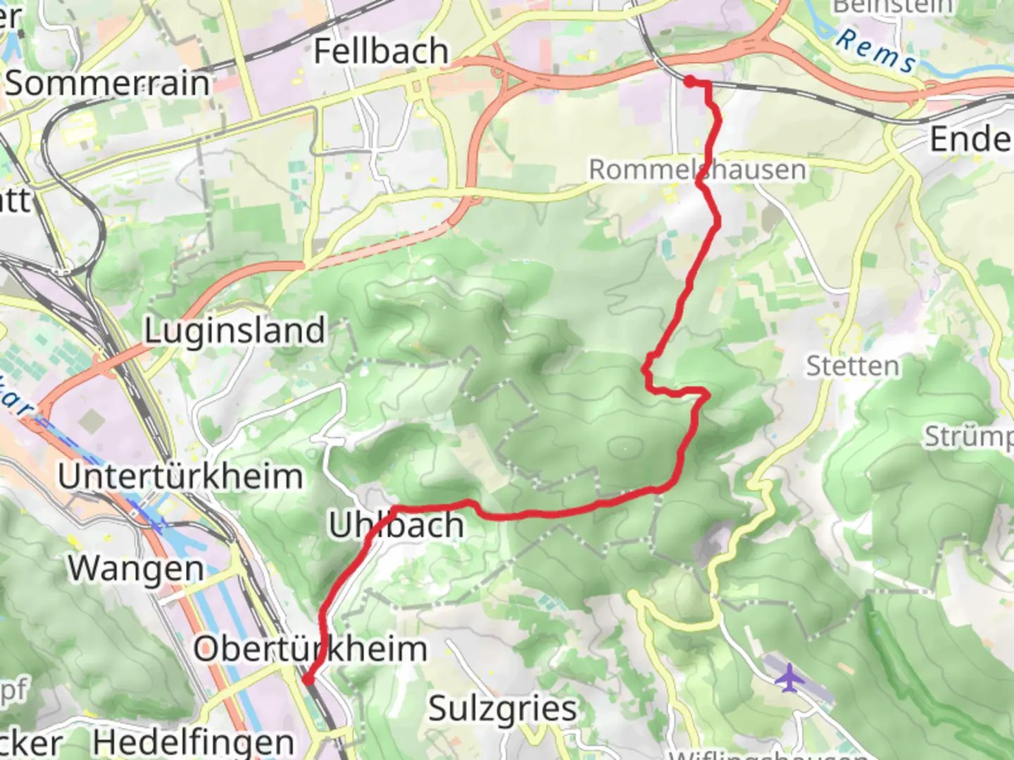
Starting Your JourneyThe trail begins near Stuttgart, Germany, a vibrant city known for its automotive industry and rich cultural heritage. To reach the trailhead, you can take a short train ride from Stuttgart's main station to Obertürkheim. From there, it's a brief walk to the starting point. If you're driving, there are parking facilities available in Obertürkheim, making it convenient for those coming by car.Trail OverviewThis point-to-point trail stretches approximately 11 kilometers (about 6.8 miles) with an elevation gain of around 200 meters (approximately 656 feet). Rated as medium difficulty, it offers a balanced mix of gentle ascents and descents, making it suitable for moderately experienced hikers.Scenic HighlightsAs you embark on this journey, you'll traverse the picturesque landscapes of the Stuttgart region. The trail takes you through lush vineyards and rolling hills, offering panoramic views of the surrounding countryside. The Stettener Weg section is particularly enchanting, with its well-maintained paths and vibrant flora. Keep an eye out for local wildlife, including deer and various bird species, which are often spotted along the trail.Historical SignificanceThe region is steeped in history, with several landmarks that tell the story of its past. As you hike, you'll pass through areas that have been cultivated for centuries, reflecting the deep-rooted viticulture traditions of the area. The trail also offers glimpses of historical architecture, including traditional Swabian houses and ancient farmsteads, providing a window into the region's cultural heritage.Navigational TipsTo ensure a smooth hiking experience, it's advisable to use the HiiKER app for navigation. The app provides detailed maps and real-time updates, helping you stay on track and discover points of interest along the way. The trail is well-marked, but having a reliable navigation tool can enhance your journey.Reaching RommelshausenAs you approach the end of the trail in Rommelshausen, you'll find yourself in a charming village known for its welcoming atmosphere and local delicacies. It's a great place to relax and enjoy a meal after your hike. From Rommelshausen, you can easily catch a train back to Stuttgart or continue exploring the surrounding areas.This trail offers a delightful blend of natural beauty, historical intrigue, and cultural richness, making it a rewarding experience for those who venture along its path.

Comments and Reviews
User comments, reviews and discussions about the Stuttgart-Obertürkheim to Rommelshausen via Stettener Weg, Germany.
average rating out of 5
0 rating(s)