Download
Preview
Add to list
More
13.9 km
~3 hrs 8 min
220 m
Point-to-Point
“Explore a captivating trail of natural beauty and historical charm from Stuttgart to Esslingen.”
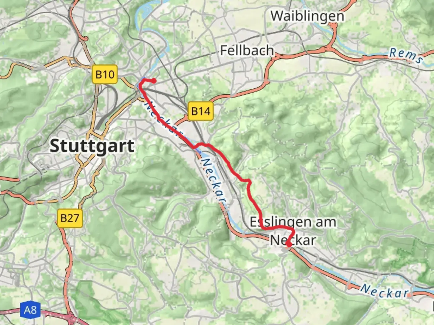
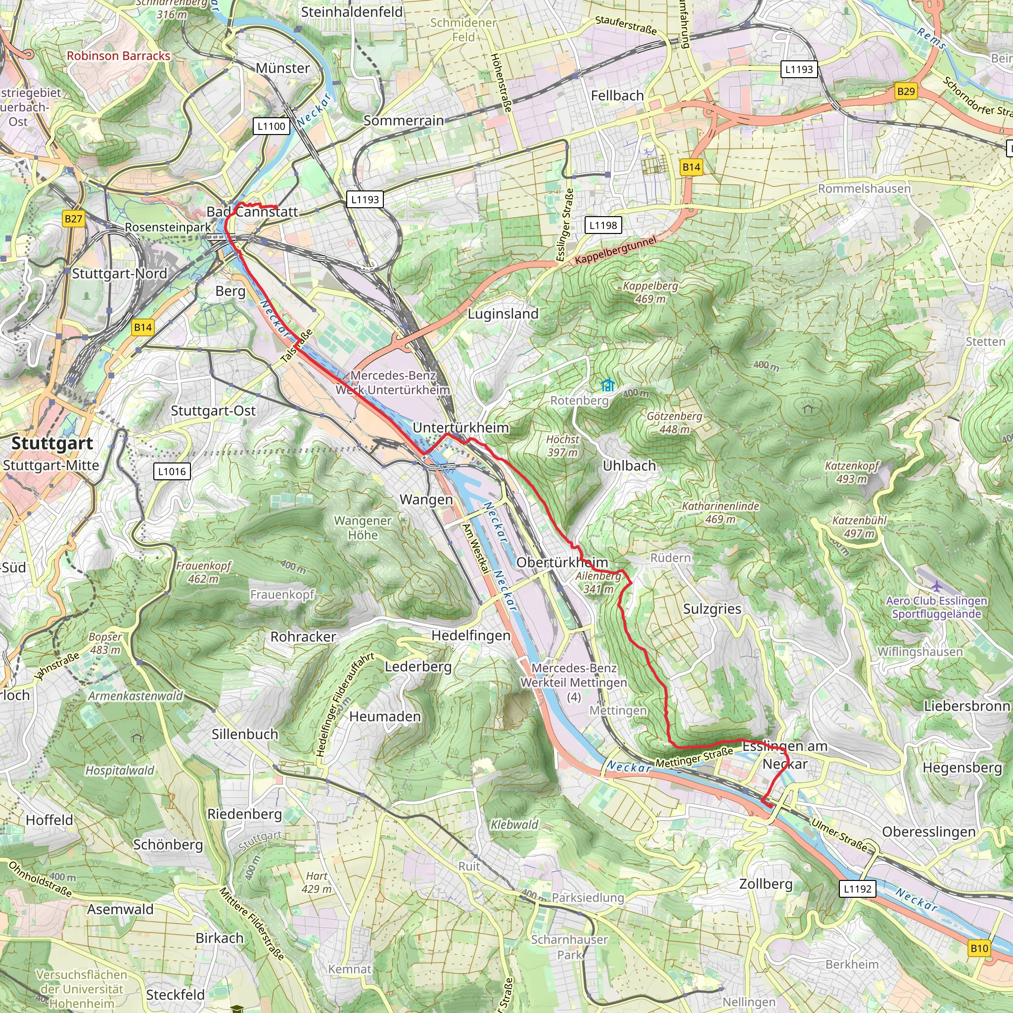
Starting your journey near Stuttgart, Germany, the trail from Bad Cannstatt to Esslingen am Neckar offers a delightful blend of natural beauty, historical intrigue, and moderate physical challenge. Spanning approximately 14 kilometers (about 8.7 miles) with an elevation gain of around 200 meters (656 feet), this point-to-point trail is perfect for those seeking a medium-difficulty hike.### Getting ThereTo reach the trailhead, you can conveniently use public transportation. From Stuttgart, take the S-Bahn to Bad Cannstatt station, which is well-connected and offers frequent services. If you prefer driving, there are parking facilities available near the station, but be mindful of the local parking regulations.### Trail HighlightsAs you embark on this journey, you'll traverse through a region rich in history and natural splendor. The trail begins in Bad Cannstatt, one of the oldest districts in Stuttgart, known for its mineral springs and the historic Cannstatter Wasen festival grounds. As you leave the urban environment, the path leads you through lush green landscapes and gently rolling hills.### Nature and WildlifeThe trail meanders through a variety of ecosystems, including deciduous forests and open fields. Keep an eye out for local wildlife such as deer, foxes, and a variety of bird species. The changing seasons bring different flora into bloom, with spring and summer offering vibrant wildflowers and autumn showcasing a tapestry of colorful foliage.### Historical SignificanceAs you approach Esslingen am Neckar, the trail takes you through areas steeped in history. Esslingen itself is a town with medieval roots, featuring well-preserved half-timbered houses and cobblestone streets. The town's history dates back over 1,200 years, and it was once a significant center of trade and industry in the region. Be sure to explore the old town and its landmarks, such as the Esslingen Castle and the Church of St. Dionysius.### Navigation and SafetyFor navigation, the HiiKER app is an excellent tool to ensure you stay on track and make the most of your hike. The trail is generally well-marked, but having a reliable navigation aid can enhance your experience, especially in areas where the path might be less distinct.### Final StretchThe trail concludes in Esslingen am Neckar, where you can reward yourself with a visit to one of the local cafes or restaurants. The town is easily accessible by public transport, with regular train services back to Stuttgart, making it convenient to return to your starting point or continue exploring the region.This hike offers a perfect blend of nature, history, and moderate physical activity, making it an ideal choice for those looking to experience the scenic and cultural richness of the Stuttgart region.
Comments and Reviews
User comments, reviews and discussions about the Bad Cannstatt to Esslingen am Neckar, Germany.
4.0
average rating out of 5
3 rating(s)
