Download
Preview
Add to list
More
2.0 km
~25 min
19 m
Loop
“Explore the scenic Unteres Broichbachtal trail, a 2 km loop rich in nature and history.”
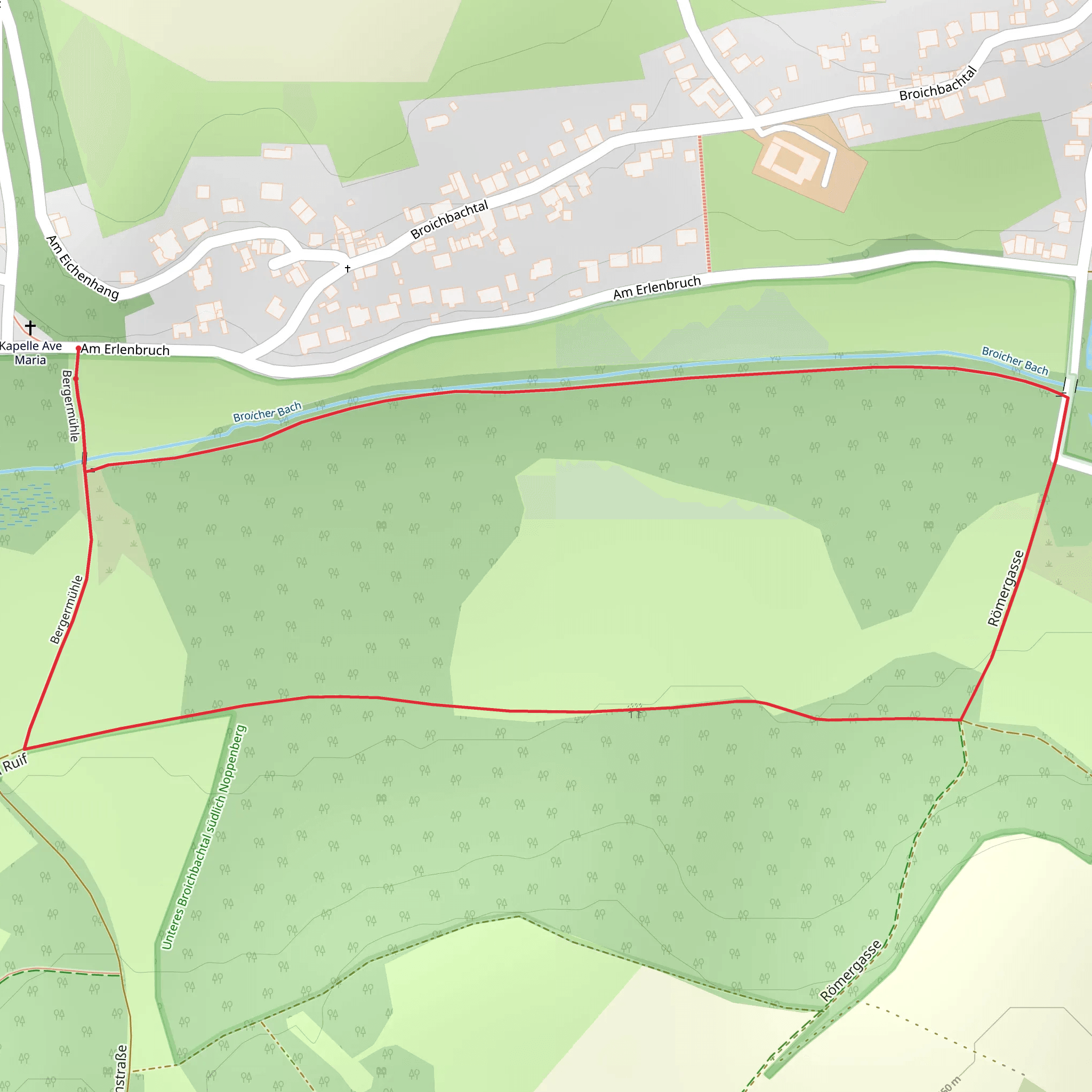
Starting near the Städteregion Aachen in Germany, this 2 km (1.24 miles) loop trail offers a delightful hike through the Unteres Broichbachtal, south of Noppenberg. With no significant elevation gain, this trail is accessible to a wide range of hikers, though it is rated as medium difficulty due to some uneven terrain and potentially muddy sections.
Getting There To reach the trailhead, you can drive or use public transport. If driving, set your GPS to the nearest known address: "Aachener Straße, 52249 Eschweiler, Germany." There is limited parking available near the trailhead. For those using public transport, take a train to Eschweiler Hauptbahnhof and then a local bus to the stop at "Eschweiler, Aachener Straße." From there, it's a short walk to the trailhead.
Trail Navigation Using HiiKER for navigation is highly recommended to ensure you stay on the correct path. The loop is well-marked, but having a digital map can be very helpful, especially in the more densely wooded sections.
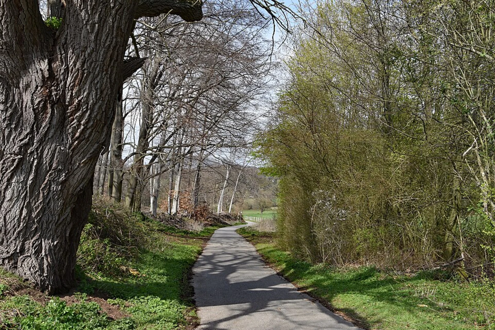
Trail Highlights #### Flora and Fauna The Unteres Broichbachtal is a haven for nature enthusiasts. The trail meanders through lush meadows and dense woodlands, offering a variety of plant species. In spring and summer, wildflowers bloom in abundance, creating a colorful tapestry along the path. Birdwatchers will be delighted by the variety of species that inhabit the area, including woodpeckers, finches, and occasionally, birds of prey.
#### Historical Significance The region around Noppenberg has a rich history. During your hike, you may come across remnants of old agricultural structures and boundary stones that date back several centuries. These landmarks offer a glimpse into the historical land use and settlement patterns of the area.
Points of Interest #### Broichbach Stream One of the most charming features of this trail is the Broichbach stream, which you will follow for a portion of the hike. The gentle babbling of the water adds a serene backdrop to your walk. There are a few small wooden bridges that cross the stream, providing excellent photo opportunities.
#### Wildlife Observation Points There are several designated spots along the trail where you can pause to observe local wildlife. These areas are marked with informational signs that provide details about the animals you might see, such as deer, foxes, and various bird species.
Trail Conditions The trail is mostly flat, with an elevation gain of around 0 meters (0 feet), making it suitable for families and casual hikers. However, be prepared for some uneven terrain and potentially muddy sections, especially after rain. Good hiking boots are recommended.
Practical Information - **Distance:** 2 km (1.24 miles) - **Elevation Gain:** 0 meters (0 feet) - **Difficulty:** Medium - **Trail Type:** Loop
Safety Tips - Always carry a map or use HiiKER for navigation. - Wear appropriate footwear to handle uneven and potentially muddy terrain. - Bring water and snacks, as there are no facilities along the trail. - Check the weather forecast before heading out, as conditions can change rapidly.
This trail offers a peaceful and scenic hike through a historically rich and ecologically diverse area, making it a rewarding experience for those who venture out.
What to expect?
Activity types
Comments and Reviews
User comments, reviews and discussions about the Unteres Broichbachtal südlich Noppenberg Loop, Germany.
5.0
average rating out of 5
1 rating(s)

