Download
Preview
Add to list
More
8.9 km
~1 hrs 58 min
121 m
Loop
“The Roetgen Rundweg A3 offers lush Eifel landscapes, historical intrigue, and a rewarding hike for experienced adventurers.”
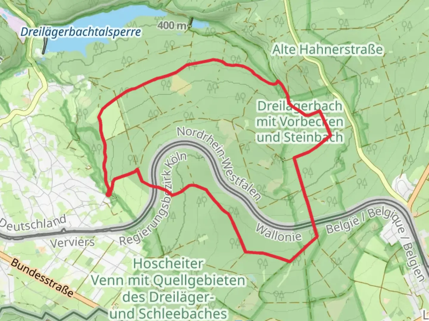
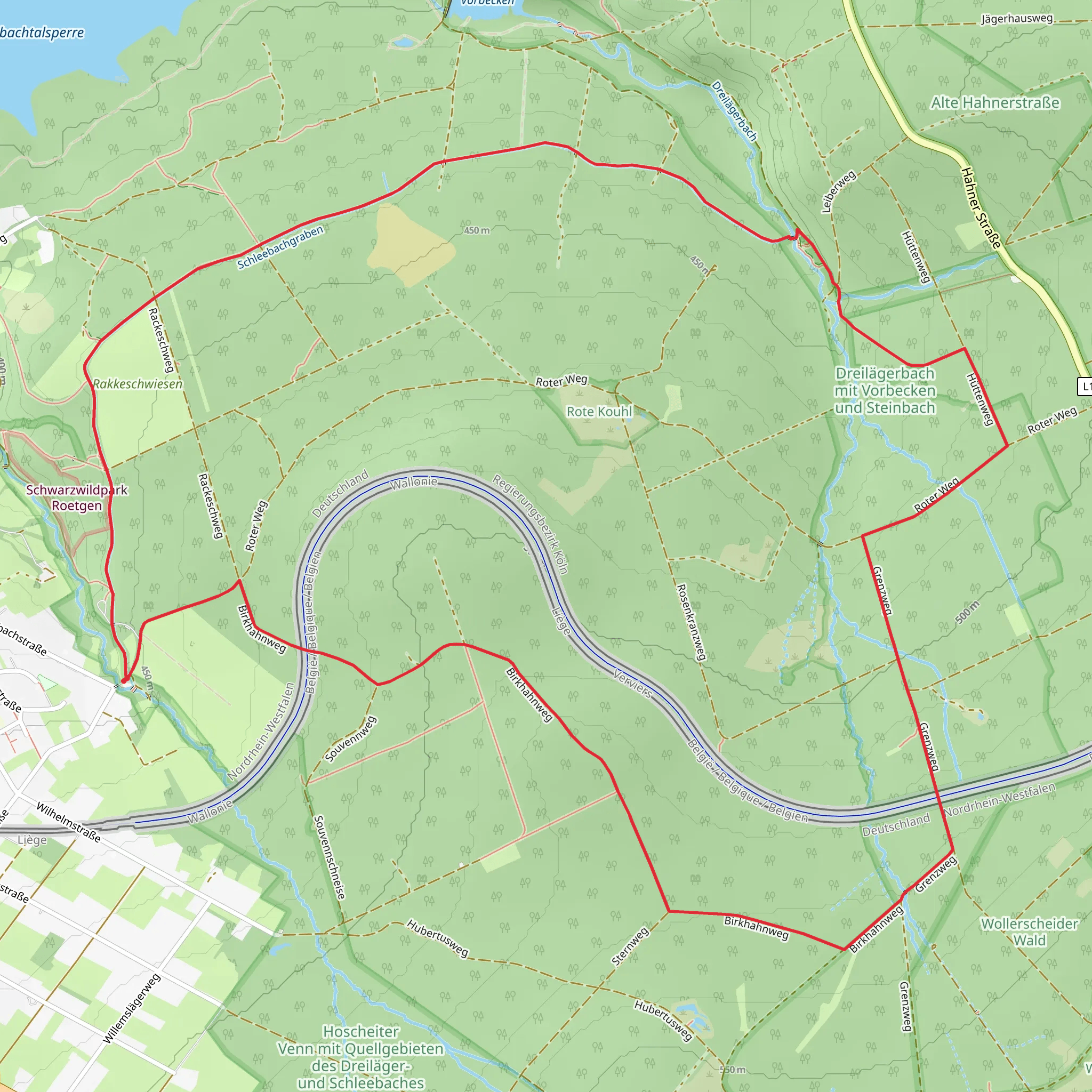
Starting near the Städteregion Aachen in Germany, the Roetgen Rundweg A3 is a delightful loop trail that spans approximately 9 kilometers (around 5.6 miles) with an elevation gain of about 100 meters (328 feet). This trail is rated as medium difficulty, making it suitable for hikers with some experience.
Getting There To reach the trailhead, you can drive or use public transport. If driving, set your GPS to Roetgen, a small town in the Städteregion Aachen. There is ample parking available near the starting point. For those using public transport, take a train to Aachen Hauptbahnhof and then a bus to Roetgen. The nearest significant landmark to the trailhead is the Roetgen Rathaus (Town Hall).
Trail Navigation The Roetgen Rundweg A3 is well-marked, but it's always a good idea to have a reliable navigation tool. HiiKER is an excellent app for this purpose, providing detailed maps and real-time tracking to ensure you stay on course.
Trail Highlights As you embark on this loop trail, you'll find yourself immersed in the lush greenery of the Eifel region. The trail meanders through dense forests, open meadows, and along serene streams, offering a variety of landscapes to enjoy.
#### Flora and Fauna The Eifel region is known for its rich biodiversity. Keep an eye out for native wildlife such as deer, foxes, and a variety of bird species. The forested areas are home to oak, beech, and pine trees, while the meadows burst into color with wildflowers during the spring and summer months.
#### Historical Significance The Roetgen area has a rich history dating back to Roman times. As you hike, you'll come across remnants of ancient Roman roads and possibly even some old boundary stones. The region was also significant during World War II, and you might encounter some historical markers or plaques detailing events from that era.
Points of Interest - **Roetgen Rathaus**: Starting point and a good place to gather any last-minute supplies or information. - **Vennbahn Rail Trail**: A section of the trail intersects with the Vennbahn, one of Europe's longest rail trails, which offers a unique hiking experience along a former railway line. - **Dreilägerbachtalsperre**: This reservoir is a beautiful spot to take a break and enjoy the scenic views. It's located roughly halfway through the trail, making it an ideal rest stop.
Trail Conditions The trail is generally well-maintained, but be prepared for some uneven terrain and occasional muddy patches, especially after rain. Good hiking boots are recommended. The elevation gain is moderate, with a few steep sections that might require a bit of effort, but the stunning views make it worthwhile.
Safety Tips - **Weather**: The weather in the Eifel region can be unpredictable. Check the forecast before you set out and dress in layers. - **Water and Snacks**: Carry enough water and snacks, as there are limited facilities along the trail. - **Navigation**: Use HiiKER to keep track of your progress and ensure you stay on the correct path.
The Roetgen Rundweg A3 offers a perfect blend of natural beauty, historical intrigue, and moderate physical challenge, making it a rewarding hike for those looking to explore the scenic Eifel region.
Comments and Reviews
User comments, reviews and discussions about the Roetgen Rundweg A3, Germany.
average rating out of 5
0 rating(s)
