Download
Preview
Add to list
More
7.6 km
~1 hrs 43 min
120 m
Loop
“Explore lush forests, historic castles, and panoramic views on the medium-difficulty Grenzlandweg and Herzogenrath Loop.”
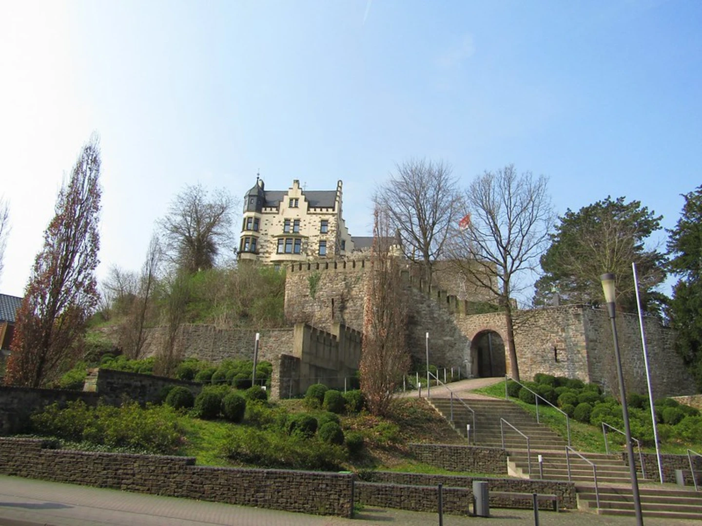
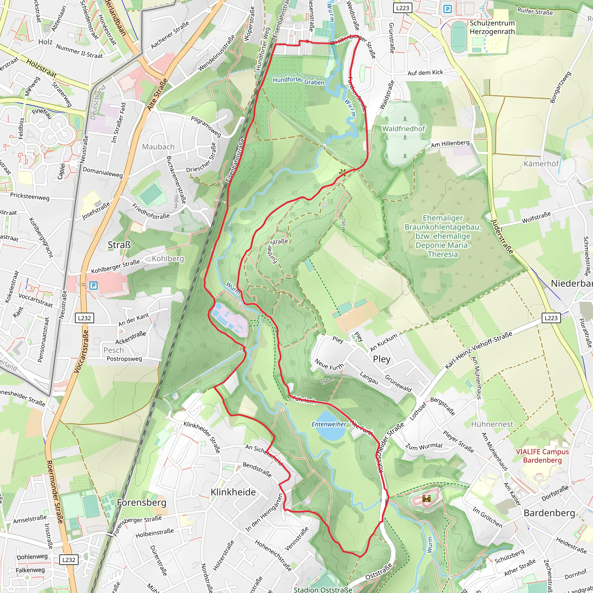
Starting near the Städteregion Aachen in Germany, this 8 km (approximately 5 miles) loop trail offers a delightful mix of natural beauty and historical intrigue. With an elevation gain of around 100 meters (328 feet), the Grenzlandweg and Herzogenrath Loop is estimated to be of medium difficulty, making it accessible for most hikers with a moderate level of fitness.### Getting There To reach the trailhead, you can either drive or use public transport. If driving, set your GPS to the nearest known address in the Städteregion Aachen. For those using public transport, take a train or bus to Aachen Central Station and then transfer to a local bus heading towards Herzogenrath. The trailhead is conveniently located near the town center, making it easy to find.### Trail Highlights and Navigation The loop begins with a gentle ascent, offering a gradual introduction to the trail's terrain. As you start, you'll be greeted by lush forests and open meadows, providing a serene backdrop for your hike. The first significant landmark is the historic Herzogenrath Castle, located approximately 2 km (1.2 miles) into the trail. This medieval castle, dating back to the 12th century, offers a glimpse into the region's rich history. Take a moment to explore the castle grounds and enjoy the panoramic views of the surrounding countryside.Continuing along the trail, you'll encounter a mix of wooded areas and open fields. The diverse landscape is home to a variety of wildlife, including deer, foxes, and numerous bird species. Keep your eyes peeled for these creatures, especially in the early morning or late afternoon when they are most active.### Mid-Trail Features Around the 4 km (2.5 miles) mark, you'll reach the highest point of the trail, offering stunning views of the surrounding region. This is a great spot to take a break, hydrate, and enjoy a snack while soaking in the scenery. The elevation gain here is about 50 meters (164 feet) from the trailhead, making it a moderate climb.As you descend, you'll pass through more forested areas, where the canopy provides a cool respite from the sun. The trail is well-marked, but it's always a good idea to have a reliable navigation tool like HiiKER to ensure you stay on track.### Historical Significance The region around Herzogenrath has a rich history, with evidence of human settlement dating back to the Roman era. The trail itself follows part of the historic Grenzlandweg, a route that has been used for centuries. Along the way, you'll find informational plaques detailing the area's history, including its role in various conflicts and its significance as a border region.### Final Stretch As you approach the final stretch of the loop, the trail flattens out, making for an easy and enjoyable walk back to the trailhead. The last 2 km (1.2 miles) take you through picturesque farmland and small villages, offering a glimpse into rural life in this part of Germany.### Practical Tips - Wear sturdy hiking boots, as the trail can be uneven in places. - Bring plenty of water, especially during the warmer months. - A lightweight rain jacket is advisable, as weather can be unpredictable. - Use HiiKER for navigation to ensure you stay on the correct path.This loop trail offers a perfect blend of natural beauty, wildlife, and historical landmarks, making it a rewarding experience for any hiker.
What to expect?
Activity types
Comments and Reviews
User comments, reviews and discussions about the Grenzlandweg and Herzogenrath Loop, Germany.
4.5
average rating out of 5
4 rating(s)

