Download
Preview
Add to list
More
8.9 km
~2 hrs 8 min
220 m
Loop
“Explore the Thuringian Forest's beauty and history on the scenic, moderate 9 km Rund um das Drontal trail.”
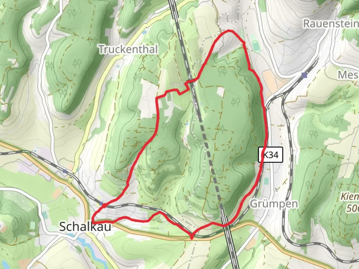
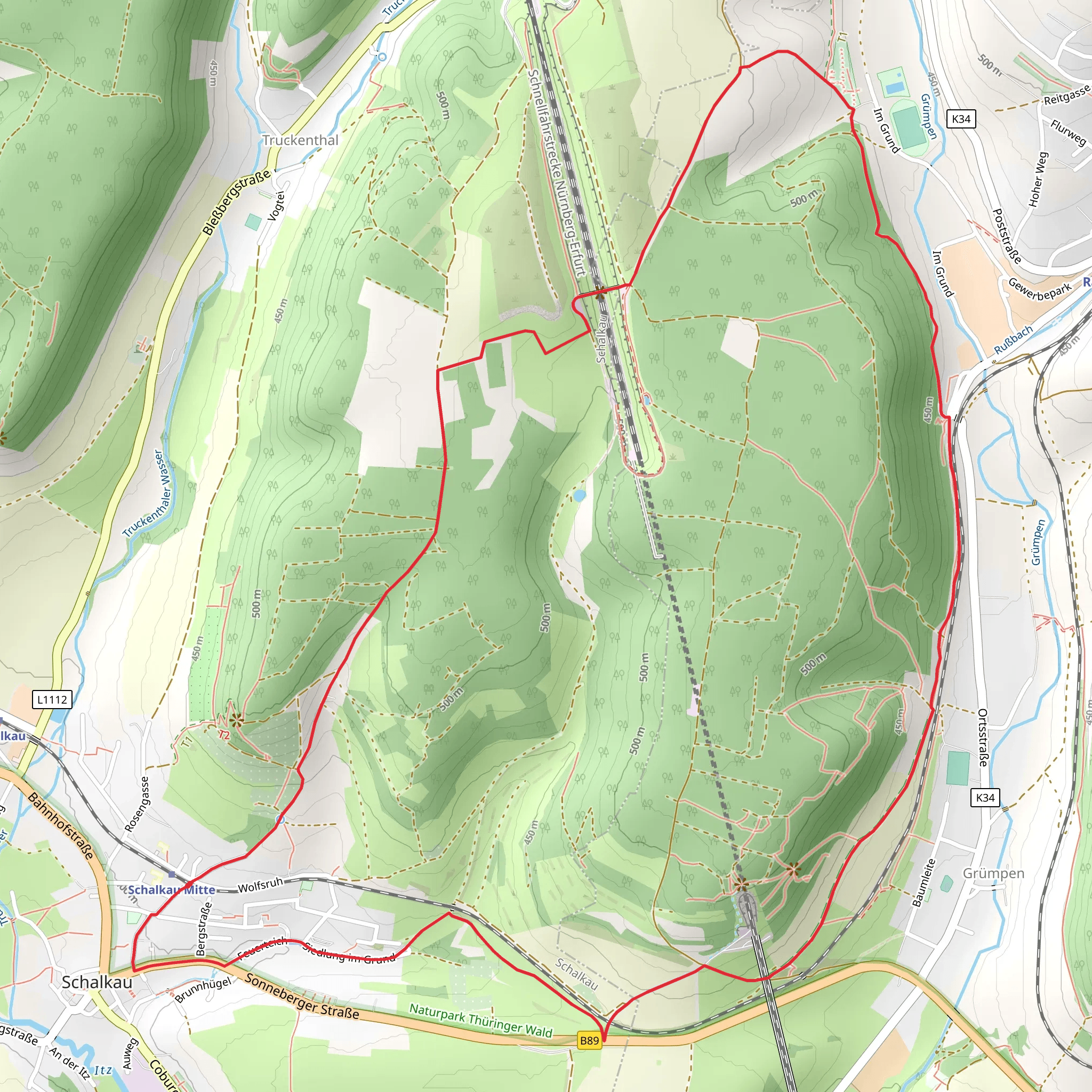
Starting near the picturesque town of Sonneberg, Germany, the Rund um das Drontal trail offers a delightful 9 km (5.6 miles) loop with an elevation gain of approximately 200 meters (656 feet). This medium-difficulty trail is perfect for hikers looking to explore the serene beauty of the Thuringian Forest.
Getting There To reach the trailhead, you can either drive or use public transport. If driving, head towards Sonneberg and look for parking near the Sonneberg-Neufang area. For those using public transport, take a train to Sonneberg Hauptbahnhof and then a local bus towards Sonneberg-Neufang. The trailhead is conveniently located near the Sonneberg-Neufang bus stop.
Trail Overview The trail begins with a gentle ascent through dense forest, offering a cool and shaded start. As you progress, the path opens up to reveal stunning views of the Drontal valley. The first significant landmark you'll encounter is the Drontalblick, a scenic viewpoint approximately 2 km (1.2 miles) into the hike. Here, you can take a moment to enjoy panoramic views of the valley below.
Flora and Fauna The Thuringian Forest is rich in biodiversity. Keep an eye out for native wildlife such as deer, foxes, and a variety of bird species. The forest floor is often carpeted with wildflowers in the spring and summer, adding a splash of color to your hike. The trail also passes through several sections of mixed deciduous and coniferous trees, providing a diverse range of plant life to observe.
Historical Significance As you continue along the trail, you'll come across remnants of historical significance. Around the 5 km (3.1 miles) mark, you'll find the ruins of an old watchtower, a relic from the medieval period when the region was a strategic point for local lords. This spot offers not only a glimpse into the past but also another excellent viewpoint.
Navigation and Safety The trail is well-marked, but it's always a good idea to have a reliable navigation tool. HiiKER is highly recommended for its detailed maps and real-time updates. The path can be narrow and rocky in some sections, so sturdy hiking boots are advisable. Also, be prepared for sudden weather changes, as the Thuringian Forest can be unpredictable.
Final Stretch The last 3 km (1.9 miles) of the trail take you through a more open landscape, with rolling meadows and occasional farmhouses. This section is relatively flat, allowing for a leisurely end to your hike. As you loop back towards Sonneberg-Neufang, you'll pass by a small, serene pond, perfect for a quick rest before completing the loop.
This trail offers a balanced mix of natural beauty, historical intrigue, and moderate physical challenge, making it a rewarding experience for any hiker.
Comments and Reviews
User comments, reviews and discussions about the Rund um das Drontal, Germany.
4.5
average rating out of 5
2 rating(s)
