Download
Preview
Add to list
More
11.1 km
~2 hrs 42 min
295 m
Point-to-Point
“Explore the River Wupper Shore Walk for stunning landscapes, medieval castles, and rich industrial history.”
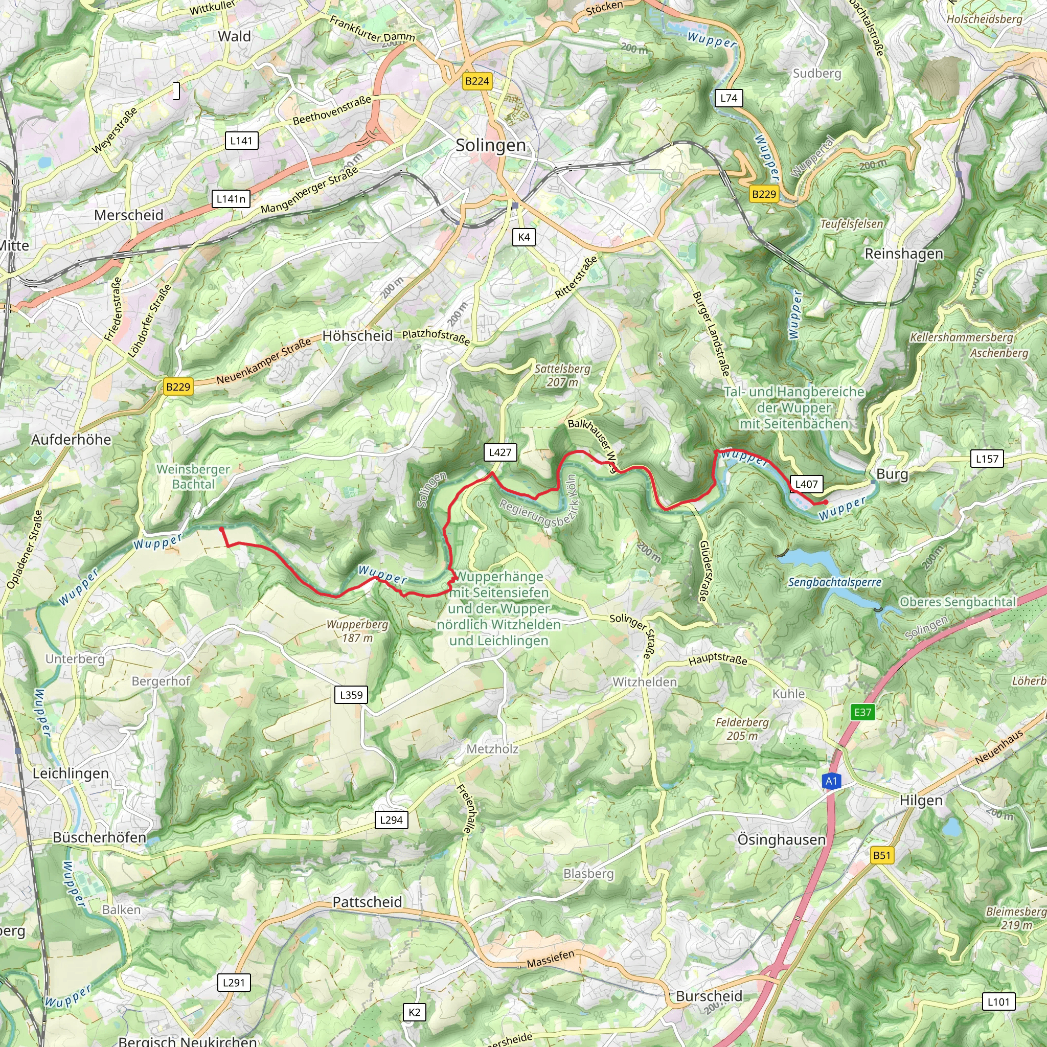
Starting near Solingen, Germany, the River Wupper Shore Walk from Unterburg is a scenic point-to-point trail stretching approximately 11 km (6.8 miles) with an elevation gain of around 200 meters (656 feet). This medium-difficulty hike offers a blend of natural beauty, historical landmarks, and a touch of local culture.
Getting There To reach the trailhead, you can either drive or use public transport. If driving, head towards Solingen and look for parking near Unterburg. For those using public transport, take a train to Solingen Hauptbahnhof and then a bus to Unterburg. The nearest significant landmark to the trailhead is the Burg Castle, a medieval fortress that adds a historical touch to the beginning of your journey.
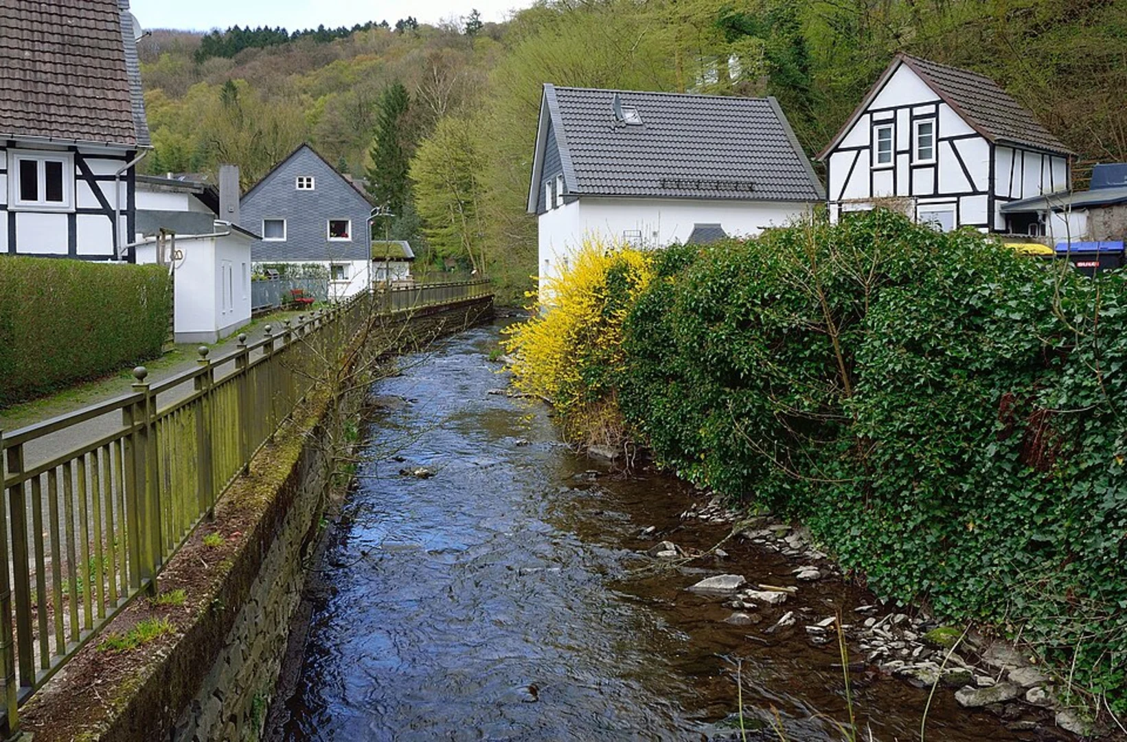
Trail Overview The trail meanders along the picturesque River Wupper, offering stunning views of the water and surrounding forested areas. The path is well-marked, but it's advisable to use HiiKER for navigation to ensure you stay on track.
Key Landmarks and Points of Interest
#### Burg Castle At the start of your hike, you'll encounter Burg Castle, one of the largest reconstructed castles in Germany. Dating back to the 12th century, this fortress offers a glimpse into medieval architecture and history. It's worth taking a short detour to explore the castle grounds before you begin your hike.
#### Müngsten Bridge Approximately 4 km (2.5 miles) into the hike, you'll come across the Müngsten Bridge, Germany's highest railway bridge. Spanning 107 meters (351 feet) above the Wupper River, this engineering marvel was completed in 1897 and remains a significant landmark. The bridge offers a great spot for photography and a brief rest.
Flora and Fauna The trail is rich in biodiversity. As you walk along the river, you'll notice a variety of plant species, including oak, beech, and chestnut trees. The area is also home to various wildlife, such as deer, foxes, and numerous bird species. Keep an eye out for kingfishers and herons near the riverbanks.
Terrain and Elevation The trail features a mix of flat sections and moderate inclines, making it accessible for most hikers with a reasonable level of fitness. The total elevation gain is around 200 meters (656 feet), spread out over the 11 km (6.8 miles), so there are no particularly steep sections. However, some parts of the trail can be muddy, especially after rain, so sturdy hiking boots are recommended.
Historical Significance The region around the River Wupper has a rich industrial history. During the 19th century, the river was a crucial part of the local textile industry. As you hike, you'll notice remnants of old mills and factories, which serve as a reminder of the area's industrial past.
Final Stretch As you approach the end of the trail, you'll find yourself near the town of Solingen, famous for its blade-making industry. The trail concludes near the Solingen-Schaberg train station, where you can catch a train back to your starting point or explore the town further.
Preparation Tips - **Navigation:** Use HiiKER for accurate trail navigation. - **Footwear:** Wear sturdy hiking boots, especially if the weather has been wet. - **Water and Snacks:** Carry enough water and snacks, as there are limited facilities along the trail. - **Weather:** Check the weather forecast and dress in layers, as conditions can change rapidly.
This hike offers a perfect blend of natural beauty, historical landmarks, and a moderate challenge, making it a rewarding experience for any outdoor enthusiast.
What to expect?
Activity types
Comments and Reviews
User comments, reviews and discussions about the River Wupper Shore Walk from Unterburg, Germany.
4.0
average rating out of 5
3 rating(s)

