Download
Preview
Add to list
More
13.3 km
~3 hrs 17 min
377 m
Loop
“Explore Germany's enchanting landscapes and rich history on this scenic, moderately challenging trail.”
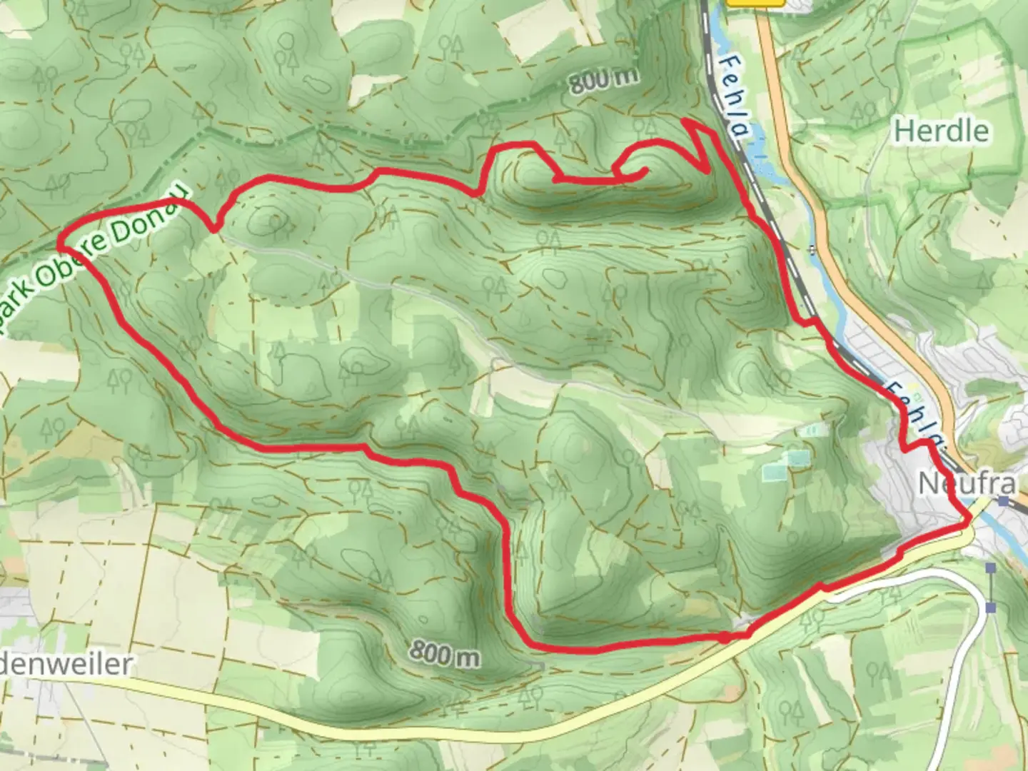
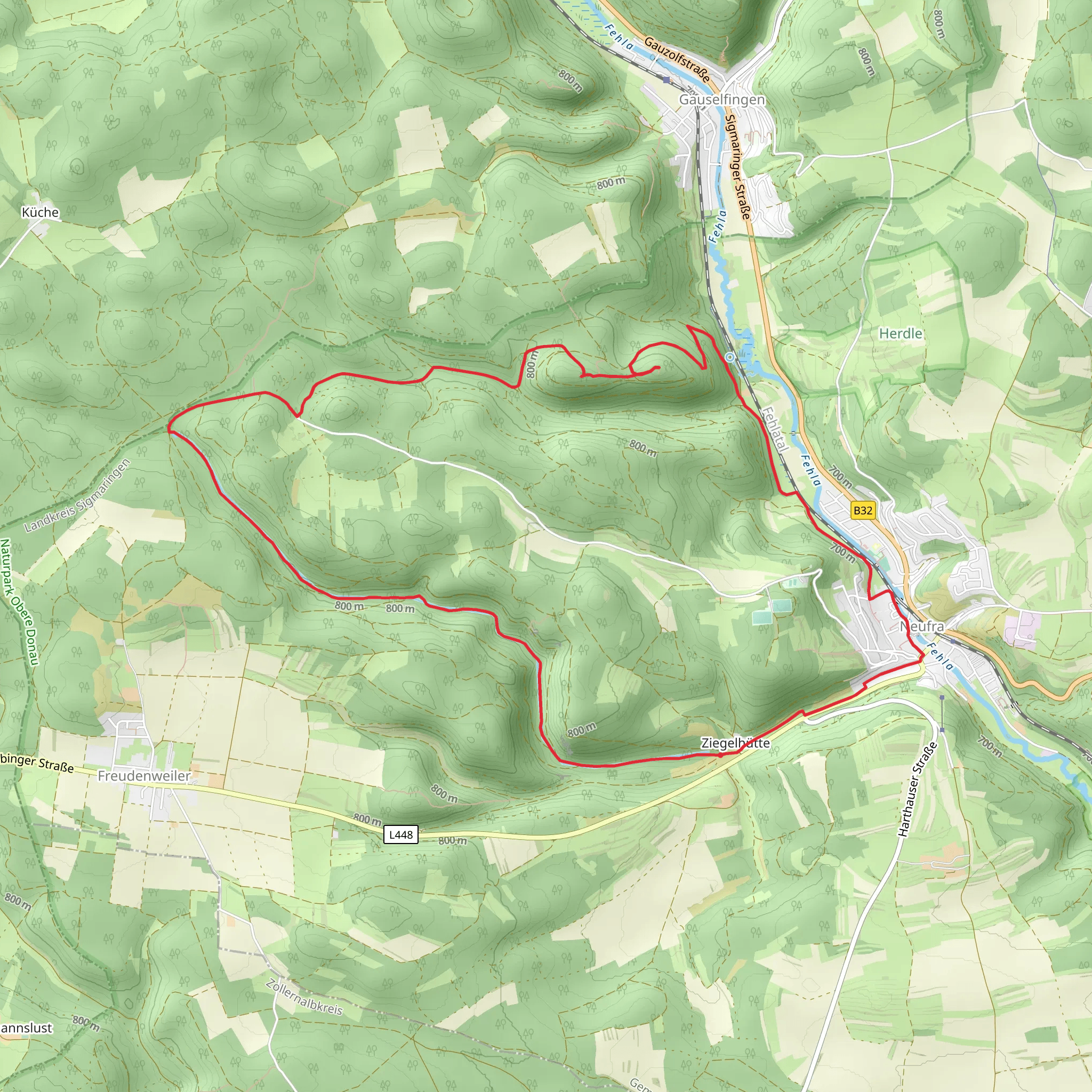
Nestled in the picturesque landscapes of southern Germany, the Wolfertal and Zur Hinteren Lichtenstein trail offers a delightful 13 km (approximately 8 miles) loop that promises both adventure and tranquility. With an elevation gain of around 300 meters (about 984 feet), this medium-difficulty trail is perfect for those looking to immerse themselves in the natural beauty and historical richness of the region.
Getting There
The trailhead is conveniently located near Sigmaringen, a charming town known for its impressive castle. If you're traveling by car, Sigmaringen is accessible via the B313 and B32 roads. For those opting for public transport, Sigmaringen is well-connected by train, with regular services from major cities like Stuttgart and Ulm. From the Sigmaringen train station, local buses or a short taxi ride can take you to the trailhead.
Trail Highlights
Scenic Landscapes and Natural Beauty
As you embark on this loop trail, you'll be greeted by the serene beauty of the Wolfertal valley. The trail meanders through lush forests and open meadows, offering a diverse range of flora and fauna. Keep an eye out for native wildlife such as deer and various bird species that inhabit the area. The trail's gentle ascent provides panoramic views of the surrounding Swabian Jura, a limestone plateau known for its rugged cliffs and rolling hills.
Historical Significance
The region around Sigmaringen is steeped in history, and this trail offers glimpses into its past. As you hike, you'll pass near the majestic Sigmaringen Castle, a symbol of the area's rich heritage. The castle, perched on a cliff above the Danube River, has been a residence of the Hohenzollern family for centuries and is a testament to the architectural grandeur of the region.
Key Landmarks
Approximately halfway through the trail, you'll reach the Hinteren Lichtenstein, a notable landmark that offers a perfect spot for a rest and a picnic. This area is known for its striking rock formations and provides a unique vantage point to appreciate the surrounding landscape. The trail continues to loop back towards the starting point, ensuring a varied and engaging hiking experience.
Trail Navigation
For those keen on precise navigation, the HiiKER app is an invaluable tool. It provides detailed maps and real-time updates, ensuring you stay on track throughout your hike. The trail is well-marked, but having a digital guide can enhance your experience, especially if you wish to explore any of the smaller paths branching off the main route.
Preparation and Tips
Given the trail's moderate difficulty, it's advisable to wear sturdy hiking boots and bring plenty of water, especially during warmer months. The trail can be completed in a leisurely 4 to 5 hours, allowing ample time to enjoy the scenery and take breaks. Weather in the region can be unpredictable, so packing a light rain jacket is recommended.
Whether you're a seasoned hiker or a nature enthusiast, the Wolfertal and Zur Hinteren Lichtenstein trail offers a rewarding journey through one of Germany's most enchanting landscapes.
Comments and Reviews
User comments, reviews and discussions about the Wolfertal and Zur Hinteren Lichtenstein, Germany.
5.0
average rating out of 5
3 rating(s)
