Download
Preview
Add to list
More
10.2 km
~2 hrs 28 min
259 m
Loop
“Explore Franconian beauty and history on the scenic, moderate 10 km Rundweg Michelau and Oberschwarzach trail.”
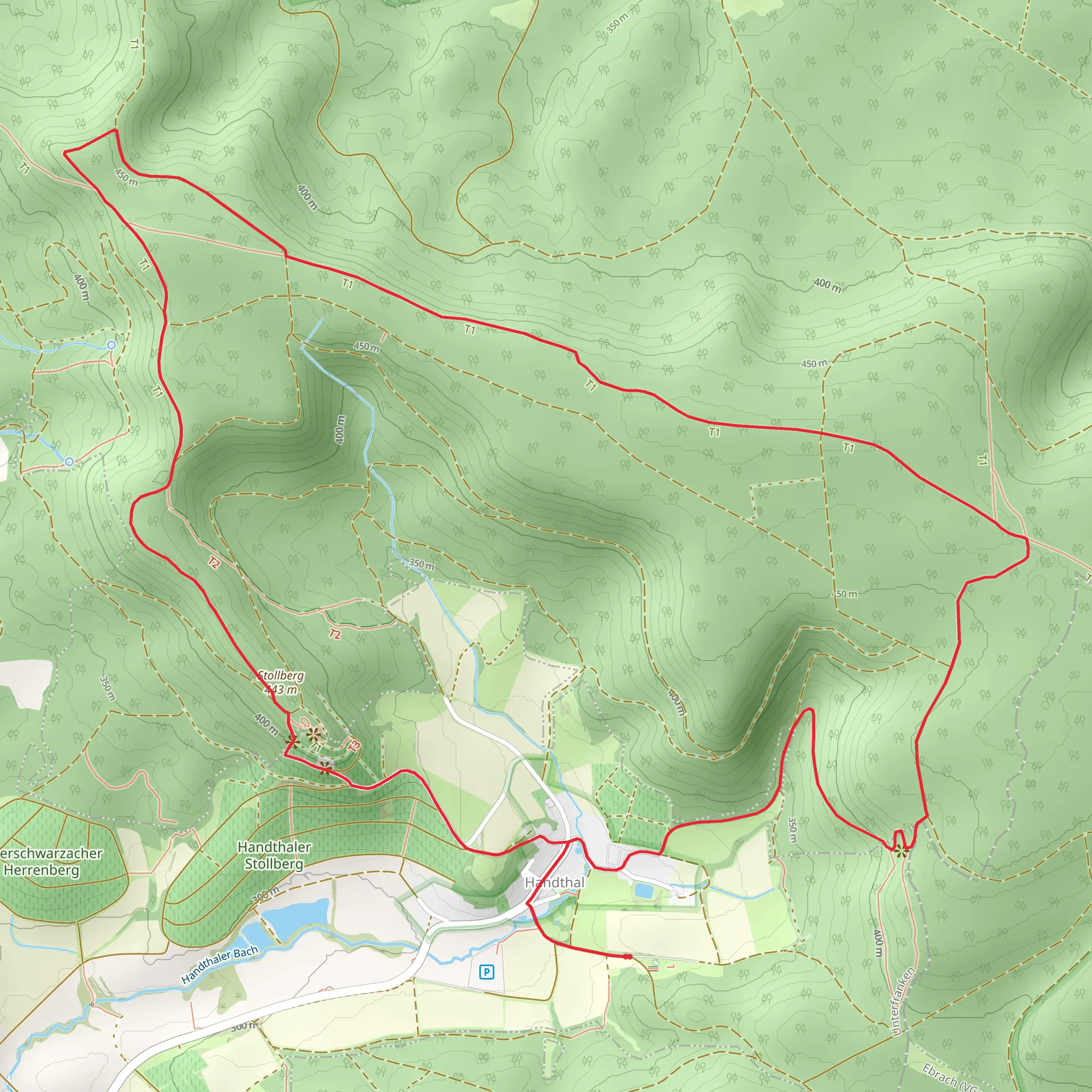
Starting near Schweinfurt, Germany, the Rundweg Michelau and Oberschwarzach trail offers a delightful 10 km (6.2 miles) loop with an elevation gain of around 200 meters (656 feet). This medium-difficulty trail is perfect for those looking to explore the scenic beauty and historical richness of the Franconian countryside.
Getting There To reach the trailhead, you can drive or use public transport. If driving, head towards the village of Michelau im Steigerwald, which is approximately 30 km (18.6 miles) from Schweinfurt. There is ample parking available near the village center. For those using public transport, take a train to Schweinfurt and then a bus to Michelau im Steigerwald. The bus stop is conveniently located near the trailhead.
Trail Overview The trail begins in the charming village of Michelau im Steigerwald. As you set off, you'll immediately notice the picturesque half-timbered houses that are characteristic of this region. The first section of the trail is relatively flat, making it a good warm-up as you walk through the village and into the surrounding fields.
Nature and Wildlife As you leave the village, the trail takes you through a mix of open fields and dense forests. The Steigerwald region is known for its rich biodiversity. Keep an eye out for deer, foxes, and a variety of bird species. In the spring and summer, the fields are often filled with wildflowers, adding a splash of color to your hike.
Significant Landmarks About 3 km (1.9 miles) into the hike, you'll come across the ruins of an old castle, Schloss Oberschwarzach. This castle dates back to the 12th century and offers a glimpse into the region's medieval past. It's a great spot to take a break and enjoy some snacks while soaking in the historical ambiance.
Continuing on, the trail ascends gradually, offering panoramic views of the surrounding countryside. The highest point of the trail is around 5 km (3.1 miles) in, where you'll reach an elevation of approximately 400 meters (1,312 feet). From here, you can see the rolling hills of the Steigerwald and the distant outline of the Franconian wine country.
Navigation The trail is well-marked, but it's always a good idea to have a reliable navigation tool. HiiKER is an excellent app for this purpose, providing detailed maps and real-time GPS tracking to ensure you stay on course.
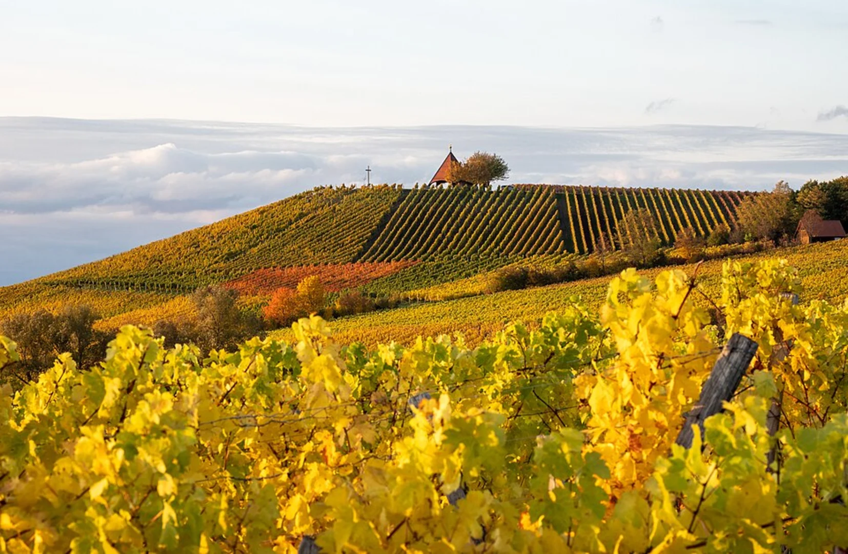
Historical Significance The region around Michelau and Oberschwarzach has a rich history dating back to the Roman era. The trail itself passes through areas that were once Roman trade routes. Additionally, the village of Oberschwarzach is known for its wine production, a tradition that has been maintained for centuries. You might even pass by some vineyards along the way, especially as you descend back towards Michelau.
Final Stretch The last 2 km (1.2 miles) of the trail take you through more forested areas before looping back to Michelau im Steigerwald. This section is relatively easy, allowing you to cool down as you approach the end of your hike.
This trail offers a perfect blend of natural beauty, historical landmarks, and moderate physical challenge, making it a rewarding experience for any hiker.
Comments and Reviews
User comments, reviews and discussions about the Rundweg Michelau and Oberschwarzach, Germany.
average rating out of 5
0 rating(s)

