Download
Preview
Add to list
More
10.2 km
~2 hrs 28 min
263 m
Point-to-Point
“Explore the scenic 10-km Pfeimid-Trausnitz trail with historical ruins, diverse wildlife, and moderate hiking challenges.”
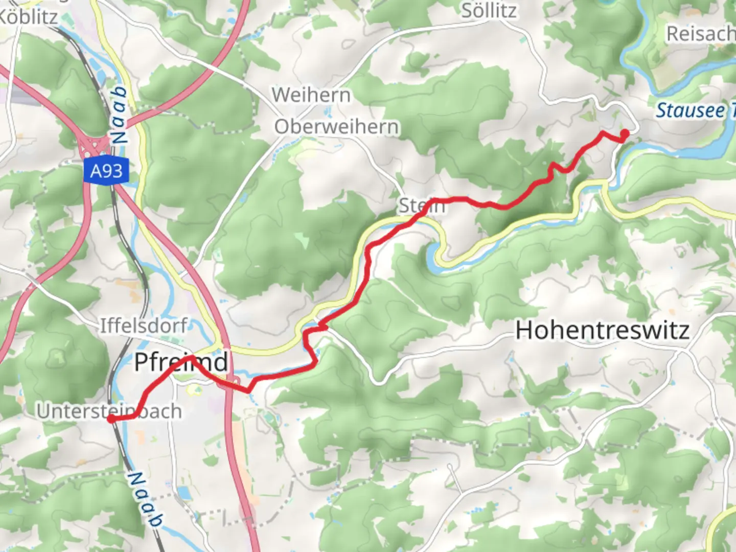
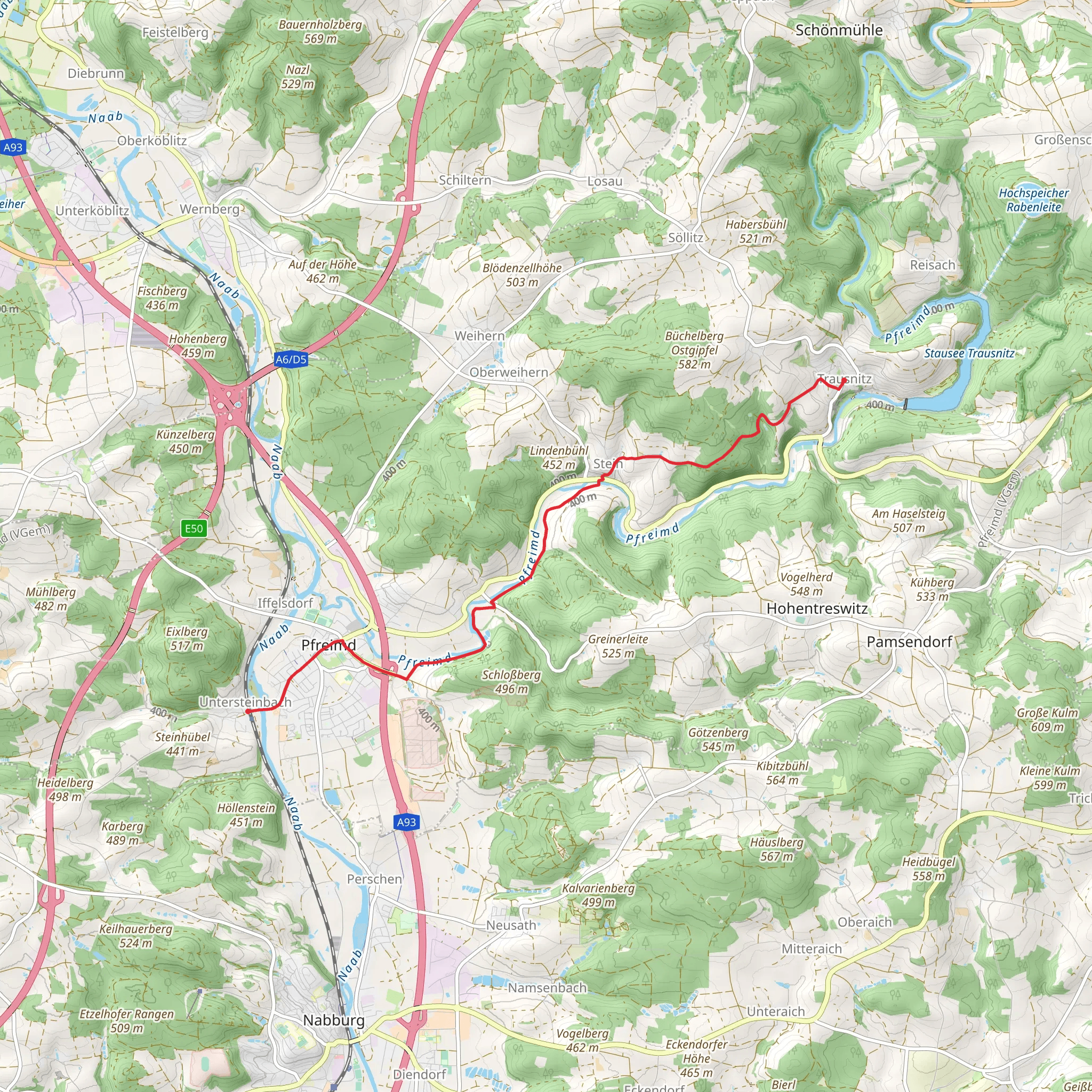
Starting near Schwandorf, Germany, the Pfeimid-Trausnitz trail spans approximately 10 kilometers (6.2 miles) with an elevation gain of around 200 meters (656 feet). This point-to-point trail offers a medium difficulty rating, making it suitable for moderately experienced hikers.### Getting There To reach the trailhead, you can either drive or use public transport. If driving, head towards Schwandorf and look for parking near the starting point. For those using public transport, Schwandorf is well-connected by train. From the Schwandorf train station, you can take a local bus or taxi to the trailhead.### Trail Overview The trail begins near Schwandorf and meanders through a mix of dense forests and open meadows. Early on, you'll encounter a gentle ascent, gaining about 50 meters (164 feet) in the first 2 kilometers (1.2 miles). This section is relatively easy and offers a good warm-up for the more challenging parts ahead.### Landmarks and Points of Interest Around the 3-kilometer (1.9-mile) mark, you'll come across the ruins of an old castle, a significant historical landmark. This castle dates back to the medieval period and offers a glimpse into the region's rich history. Take a moment to explore the ruins and enjoy the panoramic views of the surrounding countryside.Continuing on, the trail takes you through a series of rolling hills and valleys. The elevation gain becomes more noticeable here, with another 100 meters (328 feet) of ascent spread over the next 4 kilometers (2.5 miles). This section is characterized by its lush greenery and diverse flora, making it a haven for nature enthusiasts.### Wildlife and Nature The trail is home to a variety of wildlife, including deer, foxes, and numerous bird species. Keep an eye out for these animals, especially in the early morning or late afternoon when they are most active. The forested areas are also rich in wildflowers, particularly in the spring and summer months.### Final Stretch As you approach the final 3 kilometers (1.9 miles) of the trail, the terrain begins to level out. This section is relatively flat and offers a leisurely end to your hike. You'll pass through several small villages, where you can stop for refreshments or simply enjoy the local architecture.### Navigation For navigation, it's highly recommended to use the HiiKER app, which provides detailed maps and real-time updates. This will ensure you stay on the correct path and can easily find points of interest along the way.### Historical Significance The region around Schwandorf has a rich history, with settlements dating back to the Roman era. The trail itself passes through areas that were once significant trade routes, adding an extra layer of historical intrigue to your hike.### Final Tips Make sure to wear sturdy hiking boots, as some sections of the trail can be rocky and uneven. Bring plenty of water and snacks, especially if you plan to explore the historical sites along the way. The trail is well-marked, but having a reliable navigation tool like HiiKER will enhance your experience and ensure you don't miss any key landmarks.
Comments and Reviews
User comments, reviews and discussions about the Pfeimid-Trausnitz, Germany.
4.0
average rating out of 5
1 rating(s)
