Download
Preview
Add to list
More
6.1 km
~1 hrs 31 min
180 m
Loop
“Embark on the Tiefklingenbach Loop near Schwäbisch Hall for a scenic, moderately challenging 6 km hike.”
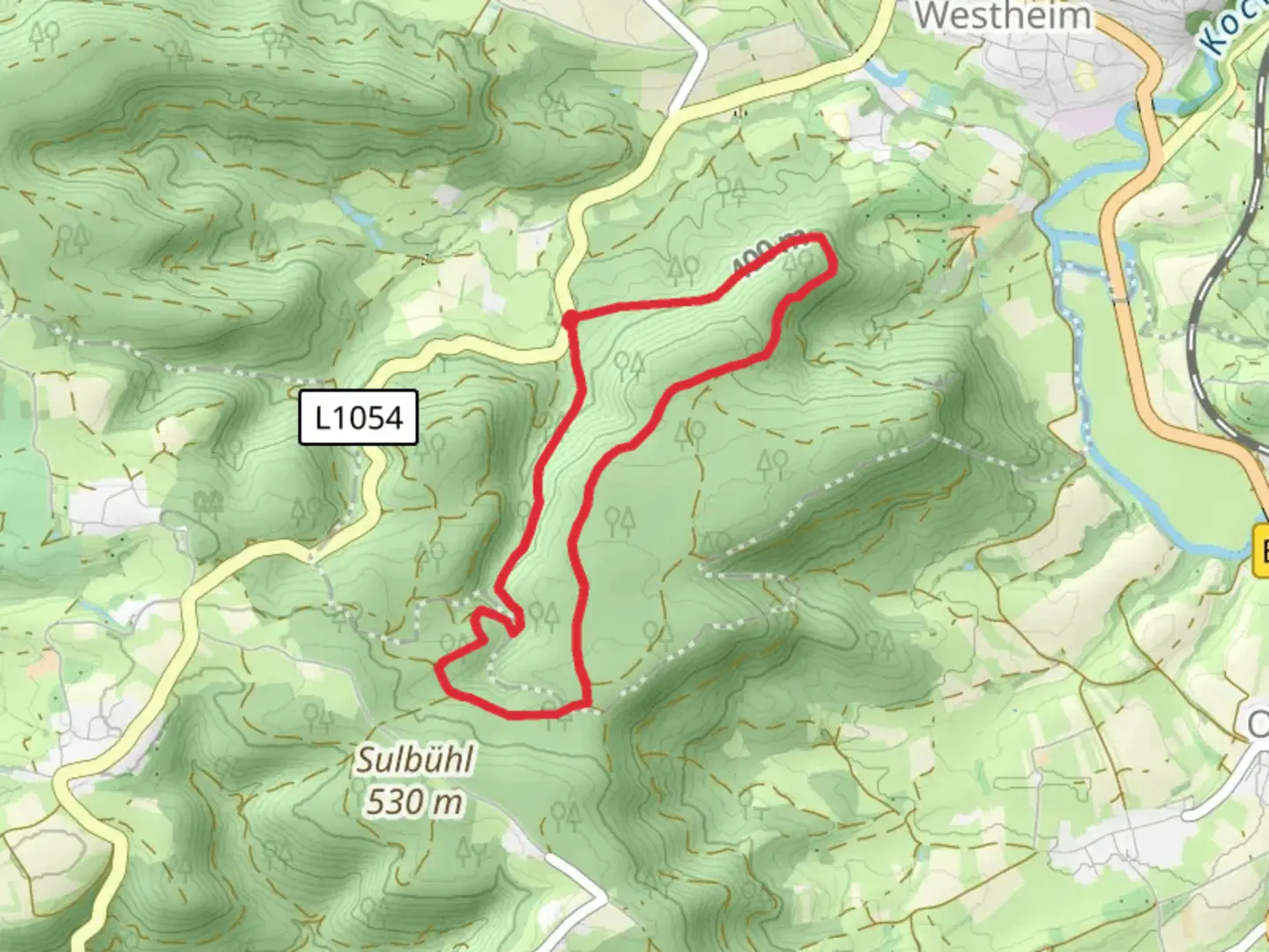
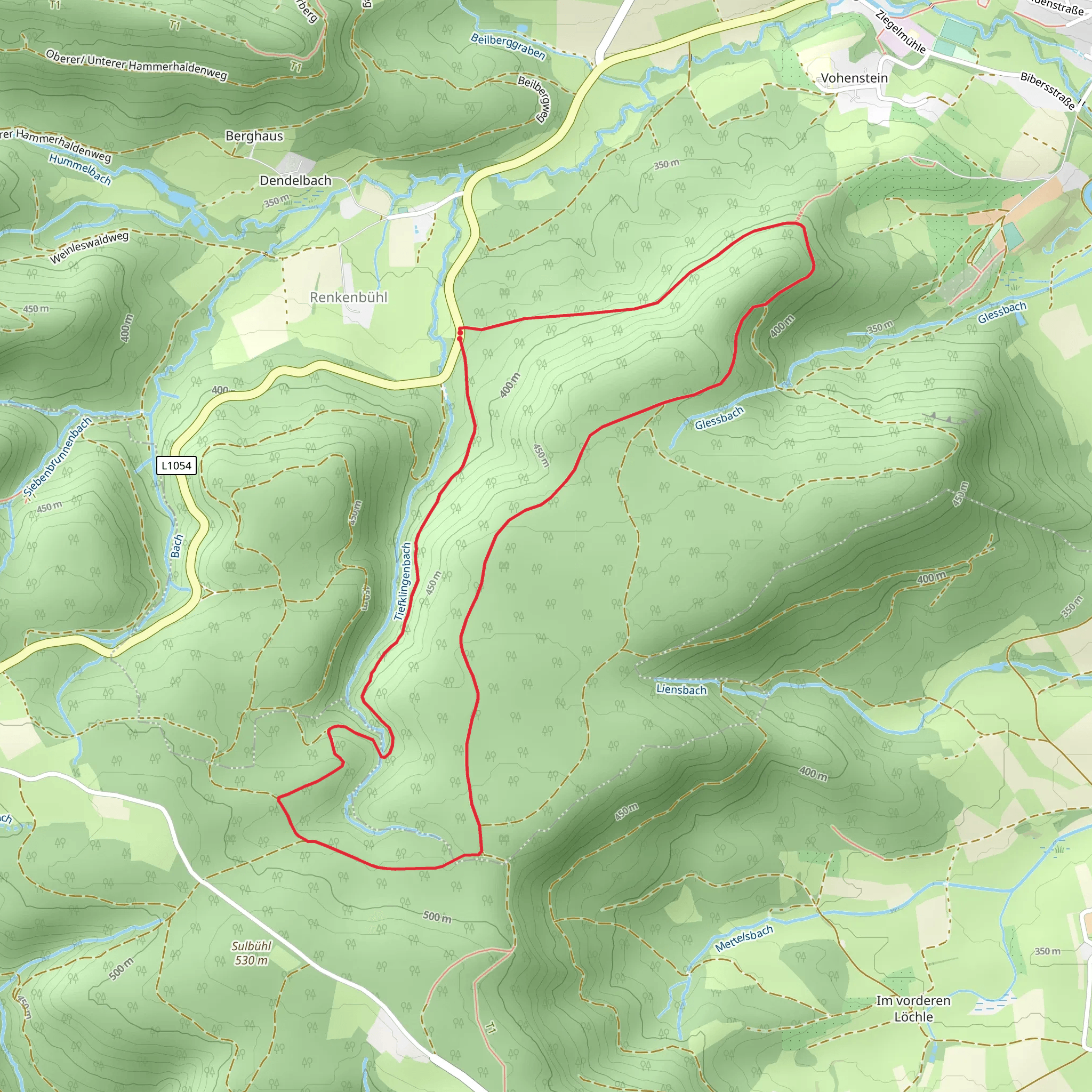
Starting near the picturesque town of Schwäbisch Hall in Germany, the Tiefklingenbach Loop offers a delightful 6 km (approximately 3.7 miles) journey through the serene landscapes of the region. With an elevation gain of around 100 meters (328 feet), this loop trail is rated as medium difficulty, making it suitable for moderately experienced hikers.
Getting There To reach the trailhead, you can drive to Schwäbisch Hall, where ample parking is available near the starting point. For those relying on public transport, the town is well-connected by train and bus services. The nearest train station is Schwäbisch Hall-Hessental, from where you can take a local bus or taxi to the trailhead.
Trail Navigation For navigation, it is highly recommended to use the HiiKER app, which provides detailed maps and real-time updates to ensure you stay on track throughout your hike.
Trail Highlights As you embark on the Tiefklingenbach Loop, you'll find yourself immersed in a lush, forested environment. The trail meanders through dense woodlands, offering a peaceful escape from urban life. Early in the hike, you'll encounter a charming brook, the Tiefklingenbach, which the trail is named after. The sound of flowing water adds a soothing backdrop to your journey.
Flora and Fauna The area is rich in biodiversity. Keep an eye out for native wildlife such as deer, foxes, and a variety of bird species. The forest floor is often carpeted with wildflowers in the spring and summer months, adding vibrant splashes of color to the greenery.
Historical Significance Schwäbisch Hall itself is steeped in history, dating back to the medieval period. The town was a significant center for salt production, which played a crucial role in its development. As you hike, you'll pass by remnants of old salt mines and historical markers that provide insight into the region's past.
Key Landmarks Around the 3 km (1.86 miles) mark, you'll come across a scenic viewpoint that offers panoramic views of the surrounding countryside. This is an excellent spot to take a break and soak in the natural beauty. Further along, at approximately 4.5 km (2.8 miles), you'll find a small, rustic chapel nestled in the woods, a testament to the area's cultural heritage.
Elevation and Terrain The trail features a mix of gentle inclines and declines, with the most significant elevation gain occurring in the first half of the loop. The terrain is varied, ranging from well-trodden paths to more rugged sections with exposed roots and rocks. Good hiking boots are recommended to navigate these areas safely.
Final Stretch As you near the end of the loop, the trail descends gradually back towards the starting point. The final kilometer (0.62 miles) is relatively flat, allowing for a leisurely finish to your hike.
This trail offers a perfect blend of natural beauty, historical intrigue, and moderate physical challenge, making it a rewarding experience for those who venture out to explore it.
What to expect?
Activity types
Comments and Reviews
User comments, reviews and discussions about the Tiefklingenbach Loop, Germany.
4.5
average rating out of 5
2 rating(s)
