Download
Preview
Add to list
More
11.4 km
~3 hrs 2 min
457 m
Loop
“Explore Schwäbisch Hall's rich history and natural beauty on this scenic 11 km, medium-difficulty trail.”
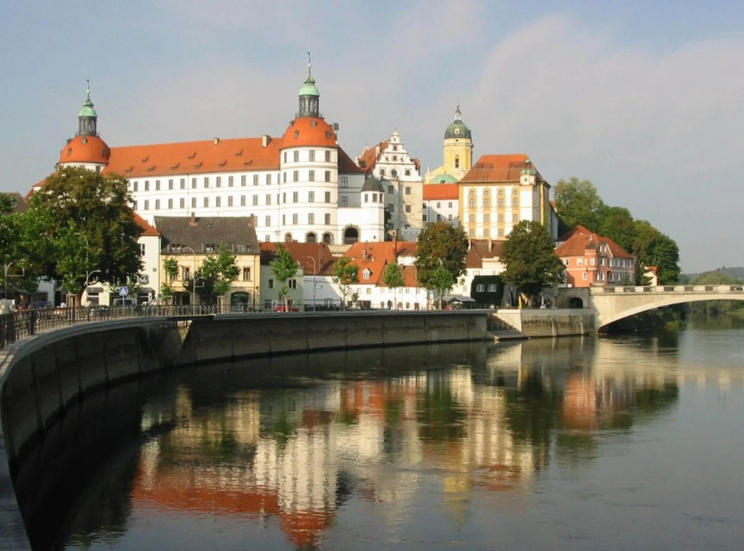
Starting near the picturesque town of Schwäbisch Hall in Germany, this 11 km (approximately 6.8 miles) loop trail offers a delightful mix of natural beauty and historical intrigue. With an elevation gain of around 400 meters (about 1,312 feet), the trail is rated as medium difficulty, making it suitable for moderately experienced hikers.
Getting There
To reach the trailhead, you can either drive or use public transport. If driving, set your GPS to Schwäbisch Hall, a charming town known for its half-timbered houses and cobblestone streets. There are several parking options available near the town center. For those using public transport, Schwäbisch Hall is well-connected by train and bus services. The nearest train station is Schwäbisch Hall-Hessental, from where you can take a local bus or a short taxi ride to the trailhead.
Trail Highlights
Historical Significance
Schwäbisch Hall itself is steeped in history, dating back to the medieval period. As you start your hike, you'll pass through areas that have been significant since the Middle Ages, including old trade routes and ancient settlements. Keep an eye out for historical markers and plaques that provide insights into the region's rich past.
Natural Beauty
The trail meanders along the River Kocher, offering stunning views of the waterway and its surrounding landscapes. Early in the hike, you'll encounter lush meadows and dense forests, home to a variety of flora and fauna. Birdwatchers will be delighted by the numerous species that inhabit the area, including kingfishers and herons.
Landmarks and Points of Interest
At approximately 3 km (1.9 miles) into the hike, you'll come across the ruins of an old mill, a testament to the region's industrial history. This is a great spot to take a break and enjoy a snack while soaking in the historical ambiance.
Around the 6 km (3.7 miles) mark, the trail ascends to a viewpoint that offers panoramic views of the Kocher Valley. The climb is gradual but steady, so take your time and enjoy the scenery. The elevation gain here is about 200 meters (656 feet), making it the most challenging part of the hike.
Wildlife
The trail is home to a variety of wildlife, including deer, foxes, and a plethora of bird species. If you're lucky, you might even spot a European otter near the riverbanks. Always keep a respectful distance from wildlife and follow Leave No Trace principles to preserve the natural habitat.
Navigation
For navigation, it's highly recommended to use the HiiKER app, which provides detailed maps and real-time updates. The trail is well-marked, but having a reliable navigation tool will ensure you stay on track and can fully enjoy the experience without any worries.
Final Stretch
As you loop back towards Schwäbisch Hall, the trail descends gently, offering a relaxing end to your hike. You'll pass through more meadows and small wooded areas before arriving back at the trailhead. This section is particularly beautiful in the late afternoon when the sunlight filters through the trees, casting a golden glow over the landscape.
This trail offers a perfect blend of natural beauty, historical significance, and moderate physical challenge, making it a rewarding experience for any hiker.

What to expect?
Activity types
Comments and Reviews
User comments, reviews and discussions about the River Kocher via Kochersteig, Germany.
4.0
average rating out of 5
1 rating(s)