Download
Preview
Add to list
More
8.9 km
~2 hrs 1 min
141 m
Out and Back
“Embark on the Schneekopf Walk for scenic beauty, historical intrigue, and moderate hiking challenges in Thuringia.”
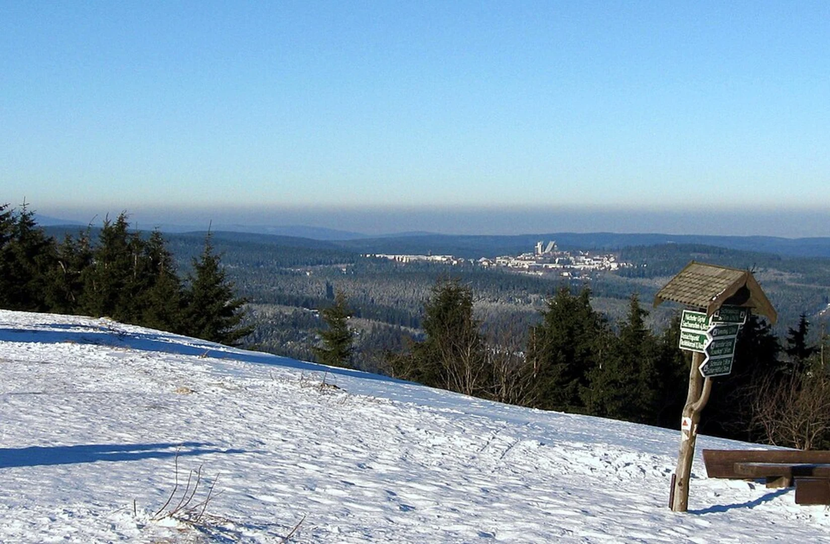
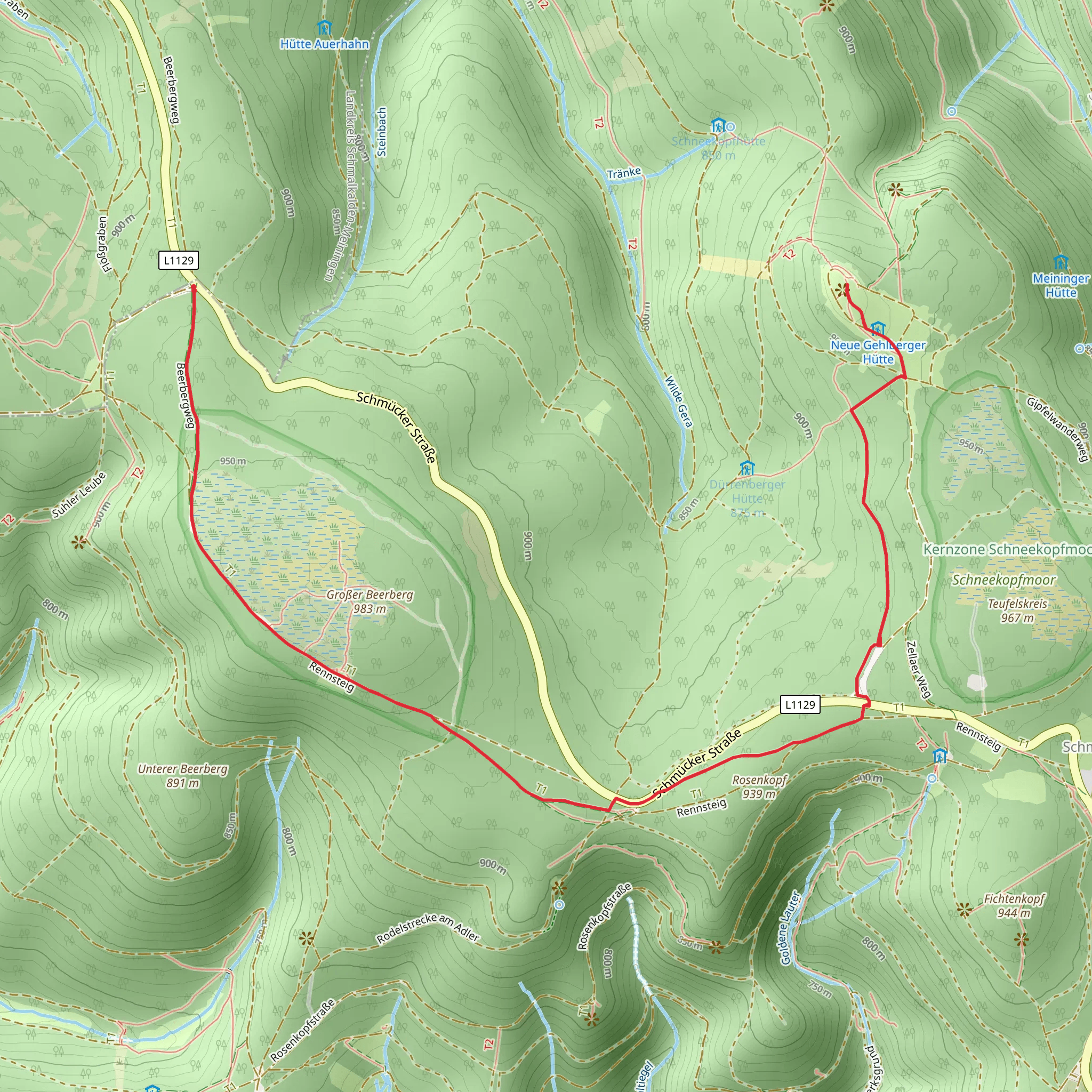
Starting your adventure near Schmalkalden-Meiningen, Germany, the Schneekopf Walk via Hochmoor am Großen Beerberg is a captivating out-and-back trail that spans approximately 9 kilometers (5.6 miles) with an elevation gain of around 100 meters (328 feet). This trail is rated as medium difficulty, making it suitable for moderately experienced hikers.### Getting There To reach the trailhead, you can either drive or use public transportation. If you're driving, set your GPS to the nearest known address: Schmalkalden-Meiningen, Germany. For those using public transport, take a train or bus to Schmalkalden-Meiningen and then a local bus or taxi to the trailhead.### Trail Overview The trail begins near the picturesque town of Schmalkalden-Meiningen, known for its charming half-timbered houses and rich history. As you set off, you'll find yourself immersed in the serene beauty of the Thuringian Forest, a region steeped in natural and historical significance.### Key Landmarks and Points of Interest - Hochmoor am Großen Beerberg: About 3 kilometers (1.9 miles) into the hike, you'll encounter the Hochmoor, a high moorland area that is a unique ecological habitat. This section is relatively flat, making it a great spot to observe local flora and fauna. Keep an eye out for rare plant species and birdlife that thrive in this wetland environment.
- Großer Beerberg: As you continue, you'll approach the Großer Beerberg, the highest peak in the Thuringian Forest at 982 meters (3,222 feet). Although the trail doesn't summit the peak, the surrounding area offers stunning views and a sense of the region's grandeur. This is a good spot to take a break and enjoy the panoramic vistas.- Schneekopf: The trail's namesake, Schneekopf, is another significant landmark you'll encounter. At approximately 4.5 kilometers (2.8 miles) from the start, this area provides a glimpse into the region's glacial history. The terrain here is slightly more challenging, with a gentle ascent that rewards you with breathtaking views of the forested landscape.### Historical Significance The Thuringian Forest has a rich history dating back to medieval times. The region was once a significant trade route and has numerous historical sites, including ancient castles and ruins. As you hike, you'll be walking through an area that has been traversed for centuries, adding a layer of historical intrigue to your journey.### Wildlife and Nature The trail is home to a diverse range of wildlife. Deer, foxes, and various bird species are commonly spotted along the route. The forest is also known for its dense canopy of beech and spruce trees, providing ample shade and a cool, refreshing atmosphere even during warmer months.### Navigation and Safety For navigation, it's highly recommended to use HiiKER, which provides detailed maps and real-time updates to ensure you stay on track. The trail is well-marked, but having a reliable navigation tool will enhance your hiking experience and provide peace of mind.### Final Stretch As you make your way back to the trailhead, take the time to appreciate the changing scenery and the tranquility of the forest. The return journey offers a different perspective, allowing you to notice details you might have missed on the way out.This hike is a perfect blend of natural beauty, historical significance, and moderate physical challenge, making it a rewarding experience for any hiker.
What to expect?
Activity types
Comments and Reviews
User comments, reviews and discussions about the Schneekopf Walk via Hochmoor am Großen Beerberg, Germany.
4.5
average rating out of 5
2 rating(s)

