Download
Preview
Add to list
More
2.4 km
~48 min
201 m
Loop
“Discover breathtaking landscapes and historical charm on this captivating Saxon Switzerland loop trail adventure.”
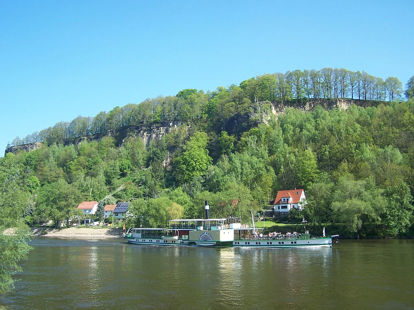
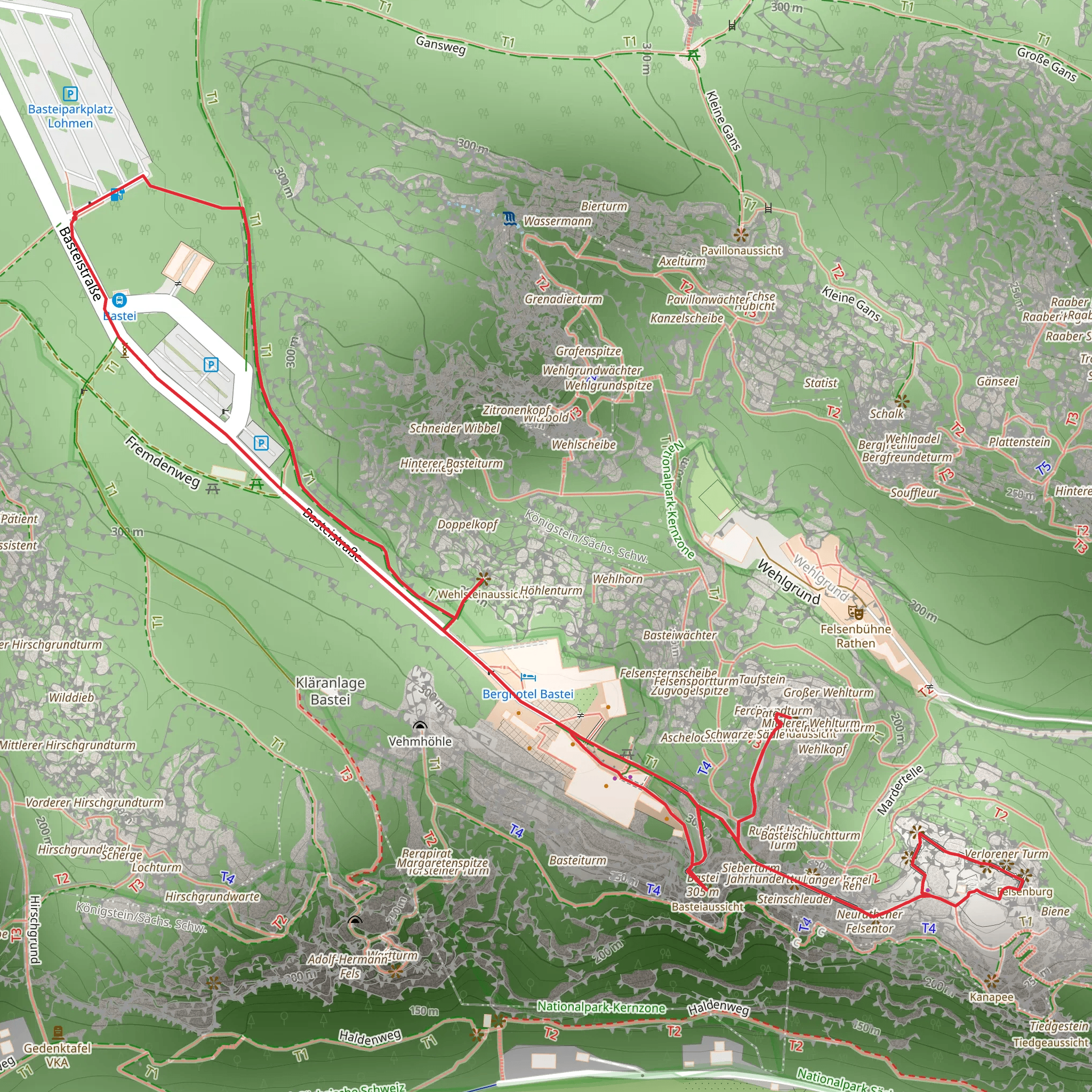
Nestled in the enchanting region of Sächsische Schweiz-Osterzgebirge, Germany, this captivating loop trail offers a delightful journey through a landscape rich in natural beauty and historical intrigue. Spanning approximately 2 kilometers (about 1.2 miles) with an elevation gain of around 200 meters (approximately 656 feet), this medium-difficulty hike promises an engaging experience for outdoor enthusiasts.### Getting ThereTo reach the trailhead, travelers can opt for public transport or drive. If you're using public transport, the nearest major city is Dresden. From Dresden, take a train to Kurort Rathen, which is well-connected and offers a scenic journey through the Saxon countryside. Once in Kurort Rathen, a short walk will lead you to the trailhead. For those driving, head towards Sächsische Schweiz-Osterzgebirge, and look for parking options near the Bastei Bridge, a well-known landmark that serves as a convenient starting point.### Trail HighlightsAs you embark on this loop trail, you'll be greeted by the stunning rock formations that define the Saxon Switzerland National Park. The Bastei Bridge, an iconic sandstone bridge, is one of the first major landmarks you'll encounter. Spanning a series of jagged rock spires, the bridge offers breathtaking views of the Elbe River and the surrounding cliffs. It's a perfect spot for photography and a moment of reflection amidst nature's grandeur.Continuing along the trail, you'll reach the Verlorener Turm, or "Lost Tower," a striking rock formation that stands as a testament to the area's geological history. This part of the trail provides a moderate challenge with some steep sections, but the effort is rewarded with panoramic vistas of the lush forested landscape below.### Nature and WildlifeThe trail meanders through a diverse ecosystem, home to a variety of flora and fauna. Keep an eye out for the vibrant wildflowers that dot the landscape, particularly in the spring and summer months. Birdwatchers will delight in spotting species such as the peregrine falcon and the black woodpecker, which are native to the region. The dense forests also provide a habitat for deer and other woodland creatures, adding to the trail's allure.### Historical SignificanceThe region's history is as captivating as its natural beauty. The Bastei area has been a popular tourist destination since the early 19th century, attracting artists and writers who were inspired by its dramatic scenery. The Bastei Bridge itself was constructed in 1851, replacing an earlier wooden structure, and has since become a symbol of the area's cultural heritage.### Navigation and SafetyFor navigation, the HiiKER app is an excellent tool to ensure you stay on track and make the most of your hike. The trail is well-marked, but having a reliable navigation aid can enhance your experience, especially if you're exploring the area for the first time. As with any hike, it's important to wear appropriate footwear, carry sufficient water, and be prepared for changing weather conditions.This trail offers a perfect blend of natural wonder and historical depth, making it a must-visit for anyone exploring the Saxon Switzerland region. Whether you're drawn by the promise of stunning vistas or the allure of the area's rich past, this hike is sure to leave a lasting impression.
Comments and Reviews
User comments, reviews and discussions about the Verlorener Turm and Bastei via Basteir Rundweg, Germany.
4.43
average rating out of 5
7 rating(s)

