Download
Preview
Add to list
More
5.7 km
~1 hrs 23 min
149 m
Out and Back
“Explore a 6 km trail in Sächsische Schweiz with stunning viewpoints, rich history, and vibrant wildlife.”
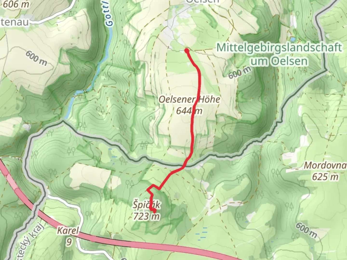
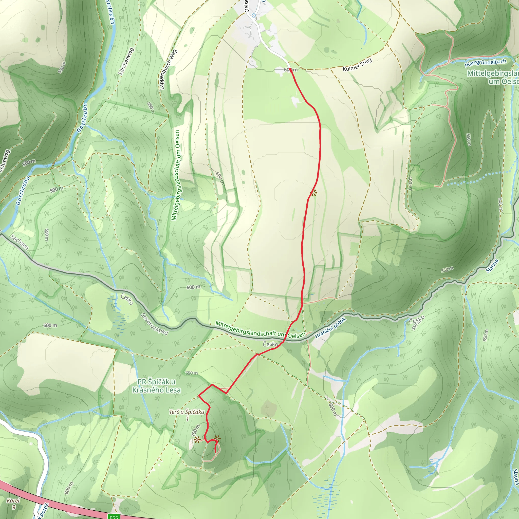
Starting near the picturesque region of Sächsische Schweiz-Osterzgebirge in Germany, this 6 km (approximately 3.7 miles) out-and-back trail offers a delightful mix of natural beauty and historical intrigue. With an elevation gain of around 100 meters (328 feet), the trail is rated as medium difficulty, making it accessible for most hikers with a moderate level of fitness.### Getting There To reach the trailhead, you can either drive or use public transport. If driving, set your GPS to the nearest known address, which is the town of Altenberg. From there, follow local signage to the trailhead. For those using public transport, take a train to Altenberg station and then a local bus or taxi to the starting point.### Trail Overview The trail begins with a gentle ascent through a dense forest, offering a serene atmosphere filled with the sounds of chirping birds and rustling leaves. As you progress, you'll encounter a variety of flora, including towering pines and vibrant wildflowers, especially in the spring and summer months.### Significant Landmarks Around the 2 km (1.2 miles) mark, you'll come across the first significant landmark, the Špičák viewpoint. This vantage point offers breathtaking views of the surrounding landscape, including the rolling hills and distant villages. It's an ideal spot for a short break and some photography.Continuing along the trail, you'll reach the Oelsener Höhe, another notable viewpoint, at approximately 3 km (1.9 miles) from the start. This area is historically significant as it was a strategic lookout point during various historical conflicts. The panoramic views from here are equally stunning, providing a different perspective of the region.### Wildlife and Nature The trail is home to a variety of wildlife. Keep an eye out for deer, foxes, and a multitude of bird species. The forested sections are particularly rich in biodiversity, making it a rewarding experience for nature enthusiasts.### Navigation For navigation, it's highly recommended to use the HiiKER app, which provides detailed maps and real-time updates. This will ensure you stay on the correct path and can easily find your way back.### Final Stretch The return journey follows the same path, allowing you to revisit the beautiful viewpoints and perhaps notice details you missed on the way up. The descent is relatively easy, making for a pleasant end to your hike.This trail offers a perfect blend of natural beauty, historical significance, and moderate physical challenge, making it a must-visit for hikers in the region.
What to expect?
Activity types
Comments and Reviews
User comments, reviews and discussions about the Špičák and Oelsener Höhe Walk, Germany.
4.5
average rating out of 5
2 rating(s)
