Download
Preview
Add to list
More
6.1 km
~1 hrs 35 min
228 m
Loop
“Explore lush forests, historic landmarks, and stunning views on this moderately challenging 6 km loop trail.”
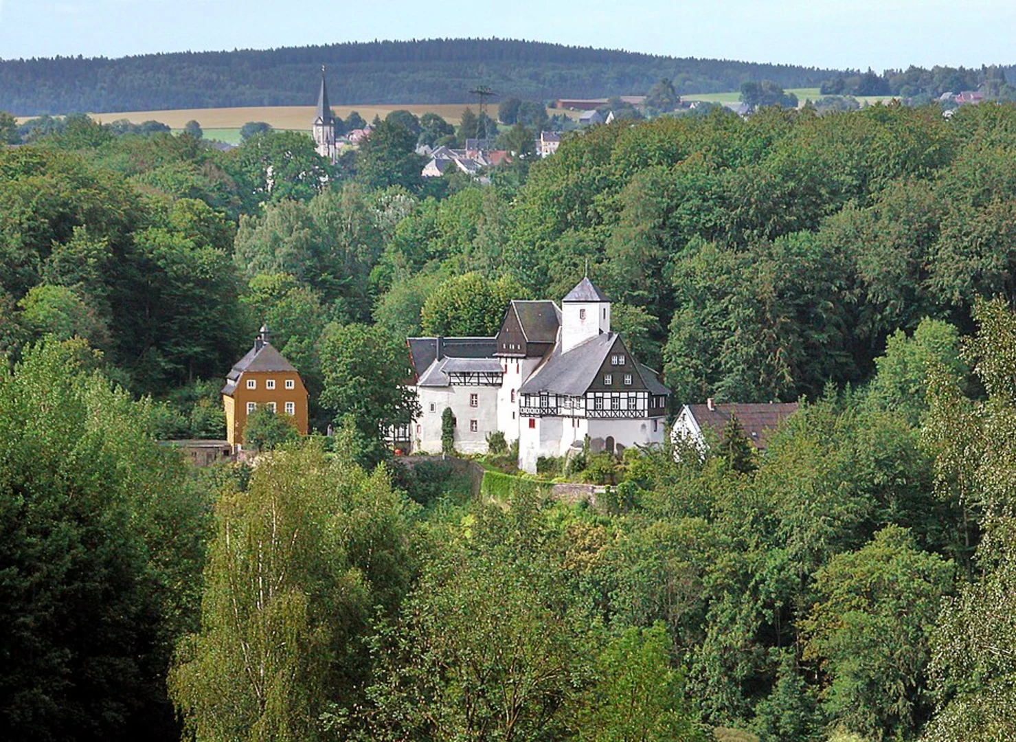
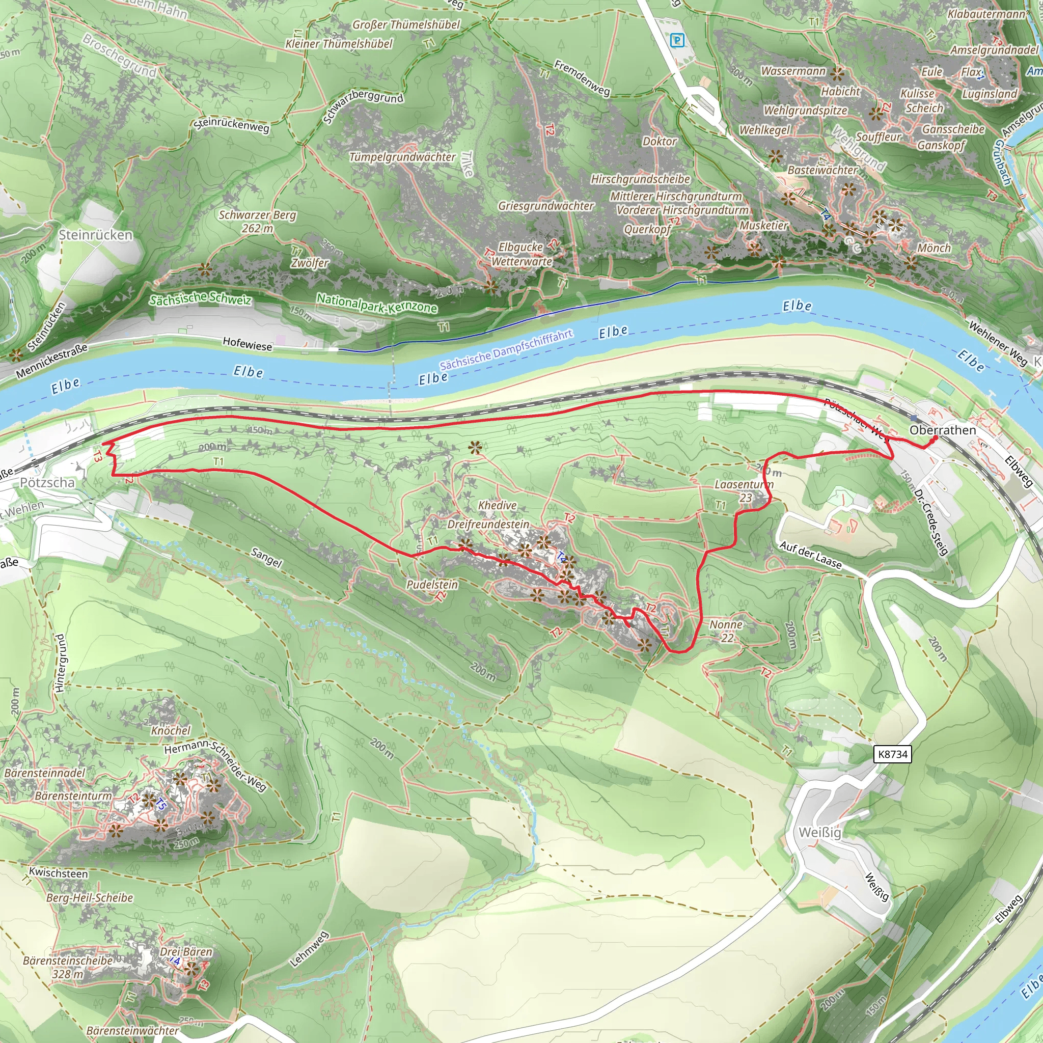
Starting near the picturesque region of Sächsische Schweiz-Osterzgebirge in Germany, this 6 km (approximately 3.7 miles) loop trail offers a delightful mix of natural beauty and historical intrigue. With an elevation gain of around 200 meters (656 feet), the trail is rated as medium difficulty, making it suitable for moderately experienced hikers.### Getting There To reach the trailhead, you can either drive or use public transport. If driving, set your GPS to the nearest significant landmark, which is the town of Rathen. For those using public transport, take a train to the Kurort Rathen station. From there, it's a short walk to the trailhead.### Trail Overview The trail begins with a gentle ascent through lush forests, offering a serene start to your hike. As you progress, the path becomes steeper, leading you to the first significant landmark, the Rauenstein. This rocky outcrop provides stunning panoramic views of the Elbe Sandstone Mountains and the surrounding valleys. The climb to Rauenstein is about 2 km (1.2 miles) into the hike, with an elevation gain of approximately 100 meters (328 feet).### Historical Significance The region is steeped in history, with the Elbe Sandstone Mountains serving as a natural fortress throughout various periods. During the hike, you'll come across remnants of old fortifications and ancient pathways that date back to medieval times. The area was also a significant point of interest during the Napoleonic Wars, adding a layer of historical depth to your journey.### Flora and Fauna The trail is a haven for nature enthusiasts. The dense forests are home to a variety of wildlife, including deer, foxes, and numerous bird species. Keep an eye out for the rare black stork, which nests in the area. The flora is equally diverse, with towering beech and oak trees providing ample shade, and a carpet of wildflowers adding bursts of color during the spring and summer months.### Navigation and Safety Given the trail's moderate difficulty, it's advisable to use a reliable navigation tool like HiiKER to stay on track. The path is well-marked, but having a digital map can be invaluable, especially in the denser forest sections. Wear sturdy hiking boots, as the rocky terrain can be challenging, particularly after rain.### Rathener Weg As you descend from Rauenstein, you'll merge onto the Rathener Weg. This part of the trail is less strenuous, allowing you to enjoy the tranquil surroundings. The path meanders through open meadows and along the banks of the Elbe River, offering a different but equally captivating landscape. This section is approximately 4 km (2.5 miles) into the hike, with a gradual descent of about 100 meters (328 feet).### Final Stretch The loop concludes as you make your way back to the starting point near Rathen. This final stretch is relatively flat, providing a leisurely end to your hike. Along the way, you'll pass by charming rural cottages and perhaps even encounter local farmers tending to their fields.This 6 km loop trail offers a perfect blend of natural beauty, historical significance, and moderate physical challenge, making it a rewarding experience for any hiker.
What to expect?
Activity types
Comments and Reviews
User comments, reviews and discussions about the Rauenstein and Rathener Weg, Germany.
4.67
average rating out of 5
6 rating(s)

