Download
Preview
Add to list
More
9.9 km
~2 hrs 38 min
399 m
Loop
“Explore Saxon Switzerland's lush landscapes and historical landmarks on a moderately challenging 10 km loop trail.”
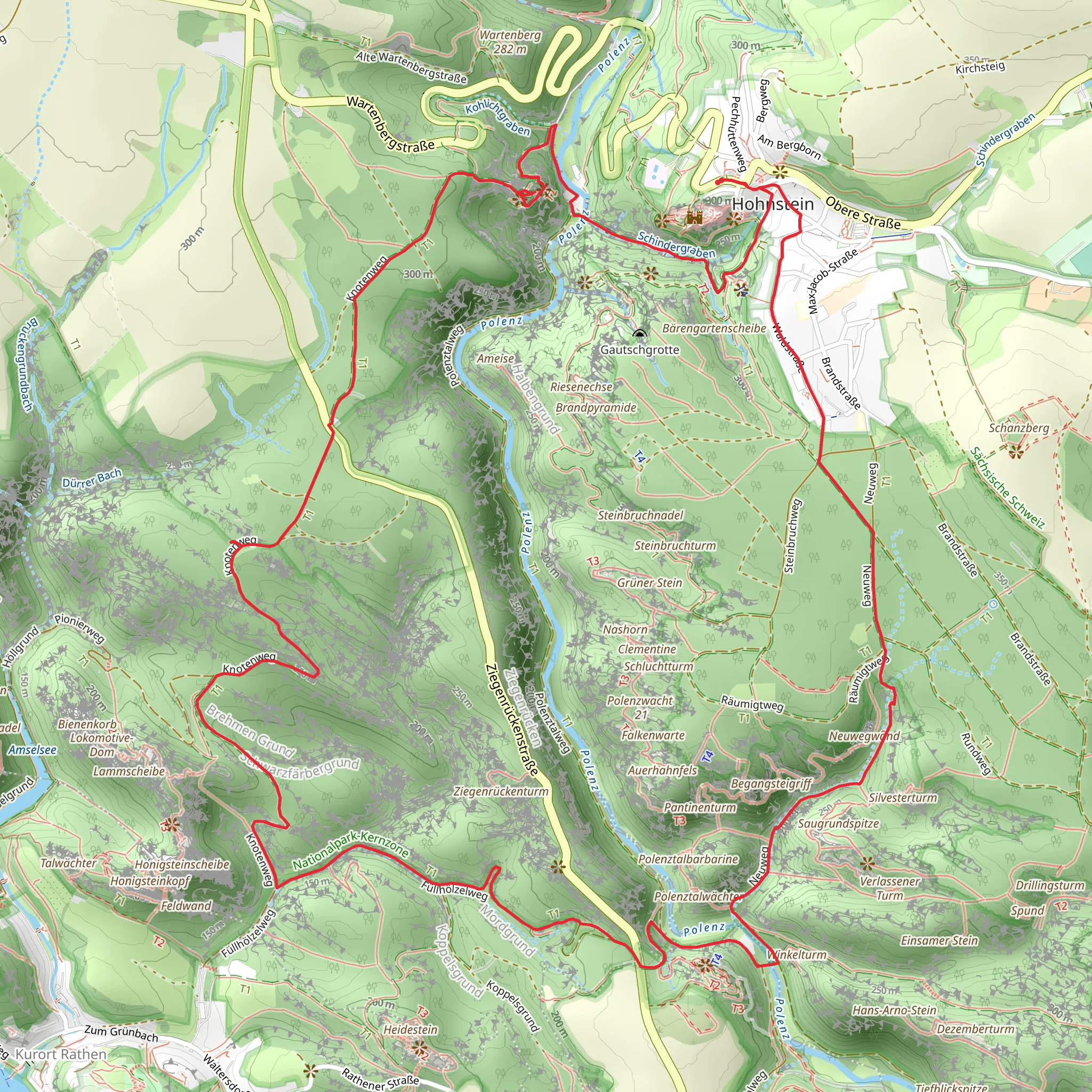
Starting your hike near the picturesque region of Sächsische Schweiz-Osterzgebirge in Germany, this 10 km (6.2 miles) loop trail offers a delightful mix of natural beauty, historical landmarks, and moderate physical challenge. With an elevation gain of around 400 meters (1,312 feet), this trail is perfect for those looking to immerse themselves in the serene landscapes of Saxon Switzerland.
Getting There To reach the trailhead, you can either drive or use public transport. If you're driving, set your GPS to the nearest significant landmark, which is the town of Hohnstein. There are parking facilities available in the town. For those using public transport, take a train to Pirna and then a bus to Hohnstein. The bus service is quite regular, making it a convenient option.
Trail Overview The trail begins near Hohnstein, a charming town known for its medieval castle, Burg Hohnstein. As you start your hike, you'll immediately notice the lush greenery and the well-marked paths. The trail is a loop, so you'll end up back where you started, making logistics a breeze.
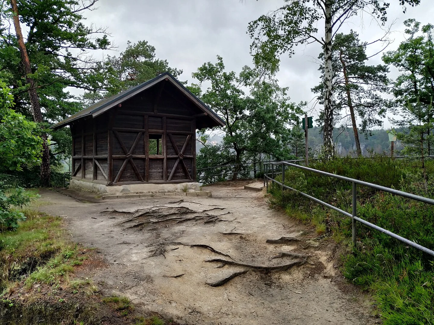
Lehrpfad Hohnstein The first section of the trail takes you through the Lehrpfad Hohnstein, an educational path that offers informative signs about the local flora and fauna. This part of the trail is relatively easy, with gentle inclines and well-maintained paths. Keep an eye out for various bird species and small mammals that inhabit the area.
Tk9 Section As you transition into the Tk9 section, the trail becomes more challenging. This part involves steeper inclines and rocky terrain, so make sure you're wearing sturdy hiking boots. The Tk9 section is known for its stunning rock formations and panoramic views of the surrounding valleys. You'll gain most of your elevation in this part, approximately 300 meters (984 feet) over a distance of 4 km (2.5 miles).
Historical Significance The region is steeped in history, with several points of interest along the way. One notable landmark is the Polenztal, a valley that has been a significant route for trade and travel since medieval times. The valley is also home to several old mills, some of which date back to the 17th century. These mills were once vital to the local economy, grinding grain for the surrounding villages.
Nature and Wildlife The trail offers a rich tapestry of natural beauty. You'll pass through dense forests, open meadows, and along the banks of the Polenz River. The river is particularly beautiful in the spring when the snowmelt causes it to swell, creating small waterfalls and rapids. The area is also home to a variety of wildlife, including deer, foxes, and a wide range of bird species. If you're lucky, you might even spot a rare black stork.
Navigation For navigation, it's highly recommended to use the HiiKER app, which provides detailed maps and real-time updates. The trail is well-marked, but having a reliable navigation tool can help you stay on track, especially in the more challenging sections.
Final Stretch As you near the end of the loop, the trail descends back towards Hohnstein. This section is less strenuous, allowing you to enjoy the final leg of your hike at a leisurely pace. You'll pass through more forested areas and eventually emerge back into the town, where you can take a moment to explore Burg Hohnstein or grab a bite to eat at one of the local cafes.
This trail offers a perfect blend of natural beauty, historical intrigue, and moderate physical challenge, making it a must-visit for any hiking enthusiast.
Comments and Reviews
User comments, reviews and discussions about the Polenz via Lehrpfad Hohnstein and Tk9, Germany.
4.67
average rating out of 5
6 rating(s)

