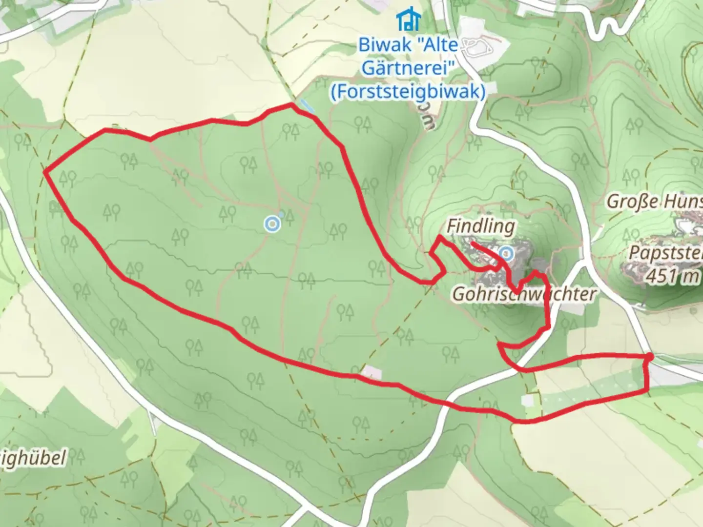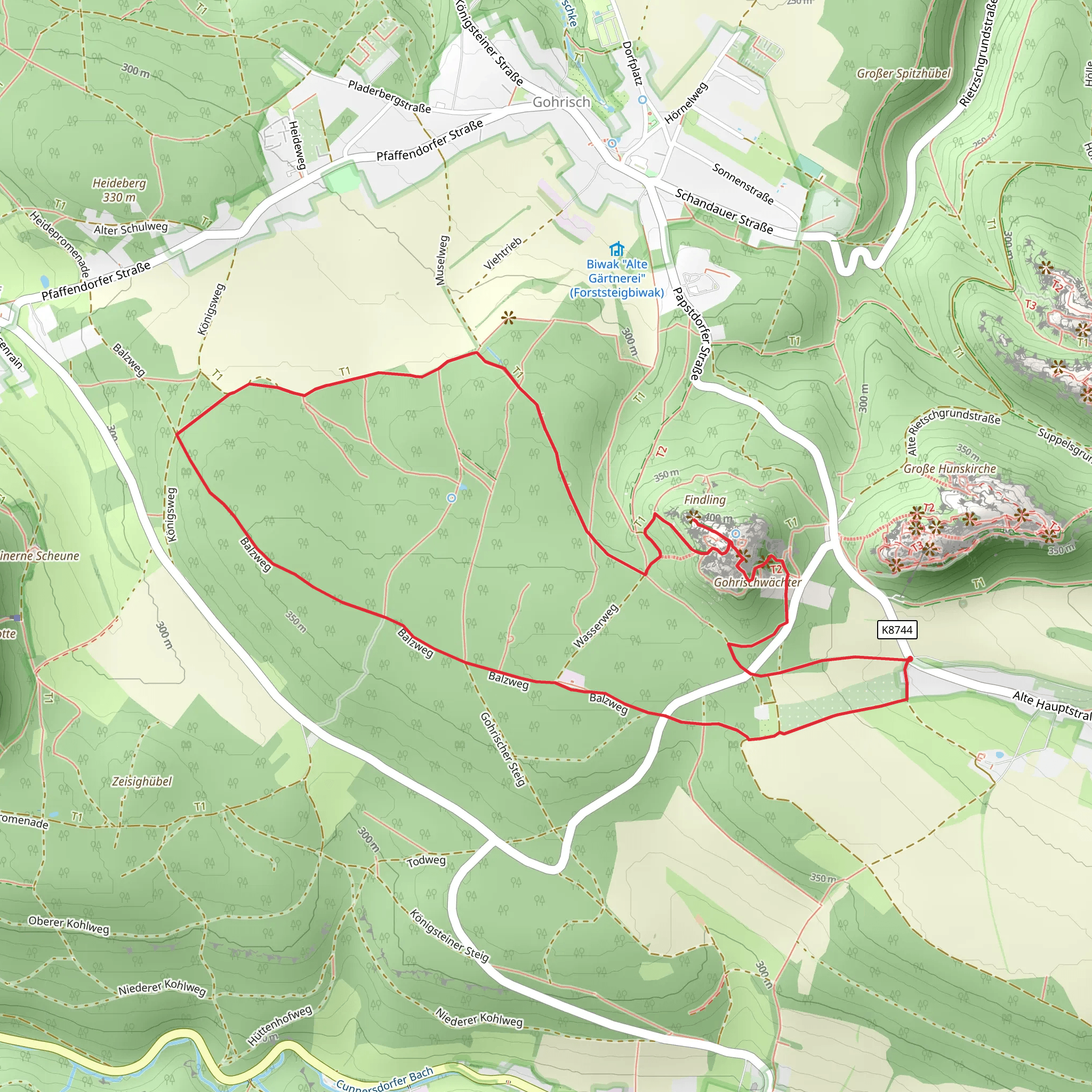
Pavillon and Wetterfahne via Oberer Rundweg
Download
Preview
Add to list
More
6.2 km
~1 hrs 32 min
179 m
Loop
“Experience natural beauty and historical intrigue on the scenic 6 km Pavillon and Wetterfahne trail in Sächsische Schweiz-Osterzgebirge.”
Starting your hike near the picturesque region of Sächsische Schweiz-Osterzgebirge in Germany, the Pavillon and Wetterfahne via Oberer Rundweg trail offers a delightful 6 km (approximately 3.7 miles) loop with an elevation gain of around 100 meters (328 feet). This medium-difficulty trail is perfect for those looking to immerse themselves in the natural beauty and historical richness of the area.### Getting There To reach the trailhead, you can either drive or use public transport. If you're driving, set your GPS to the nearest known address: Sächsische Schweiz-Osterzgebirge, Germany. For those using public transport, take a train to the Bad Schandau station, which is well-connected to major cities like Dresden. From Bad Schandau, you can catch a local bus or taxi to the trailhead.### Trail Overview The trail begins with a gentle ascent through lush forests, offering a serene start to your hike. As you progress, you'll encounter a variety of flora and fauna native to the region. Keep an eye out for deer, foxes, and a plethora of bird species that call this area home.### Significant Landmarks
Pavillon
Approximately 2 km (1.2 miles) into the hike, you'll reach the Pavillon, a charming viewpoint that offers panoramic views of the surrounding landscape. This is an excellent spot to take a break and soak in the scenery. The Pavillon is not just a visual treat but also a historical landmark, often frequented by hikers for its strategic vantage point.#### Wetterfahne Continuing along the trail, you'll come to the Wetterfahne, another significant viewpoint located around 4 km (2.5 miles) from the start. The Wetterfahne offers a different perspective of the region, with sweeping views that are particularly stunning during sunrise or sunset. This area is also rich in history, with remnants of old watchtowers that were once used for monitoring the surrounding valleys.### Navigation and Safety Given the trail's moderate difficulty, it's advisable to use a reliable navigation tool like HiiKER to ensure you stay on course. The trail is well-marked, but having a digital map can provide additional peace of mind. Wear sturdy hiking boots and bring plenty of water, especially during the warmer months.### Flora and Fauna The trail is a haven for nature enthusiasts. You'll traverse through dense forests of beech, oak, and pine, interspersed with clearings that burst into color during the spring and autumn months. The diverse ecosystem supports a variety of wildlife, including red squirrels, wild boars, and numerous bird species like the European robin and the great spotted woodpecker.### Historical Significance The Sächsische Schweiz-Osterzgebirge region is steeped in history. The trail itself winds through areas that were once significant during various historical periods, from medieval times to more recent history. The remnants of old fortifications and watchtowers along the trail serve as a testament to the region's strategic importance over the centuries.### Final Stretch As you loop back towards the starting point, the trail descends gently, offering a relaxing end to your hike. The final stretch takes you through more open landscapes, providing a different but equally captivating view of the region.This 6 km loop is a perfect blend of natural beauty, historical intrigue, and moderate physical challenge, making it a must-visit for any hiking enthusiast.
What to expect?
Activity types
Comments and Reviews
User comments, reviews and discussions about the Pavillon and Wetterfahne via Oberer Rundweg, Germany.
4.5
average rating out of 5
2 rating(s)
