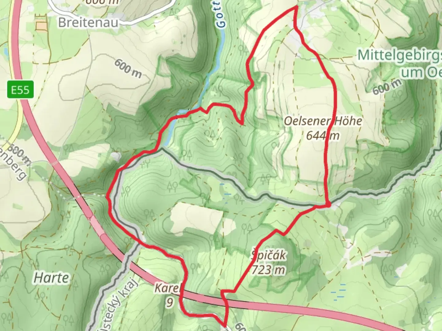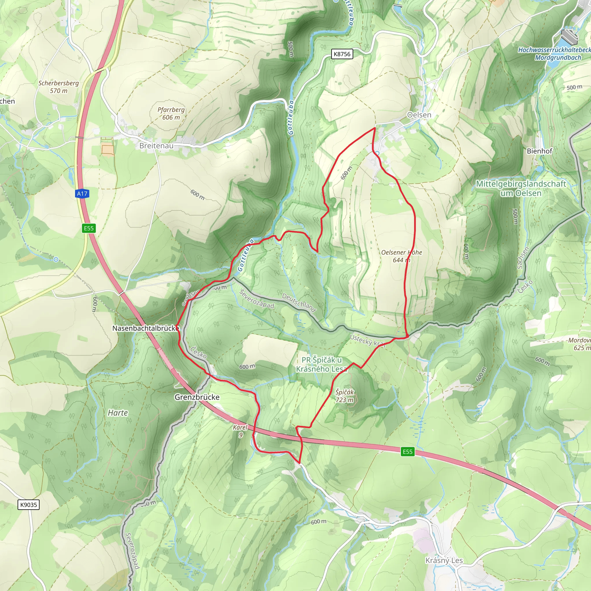
Oelsener via Okruh Oelsen - Špičák - Oelsen
Download
Preview
Add to list
More
10.5 km
~2 hrs 29 min
229 m
Loop
“Explore lush forests, historical landmarks, and panoramic views on this rewarding 11 km hike in Sächsische Schweiz-Osterzgebirge.”
Starting near the picturesque region of Sächsische Schweiz-Osterzgebirge in Germany, this 11 km (approximately 6.8 miles) loop trail offers a delightful mix of natural beauty and historical intrigue. With an elevation gain of around 200 meters (656 feet), the trail is rated as medium difficulty, making it suitable for moderately experienced hikers.### Getting There To reach the trailhead, you can drive or use public transport. If driving, set your GPS to the vicinity of Sächsische Schweiz-Osterzgebirge. For those using public transport, the nearest significant landmark is the town of Bad Schandau. From Bad Schandau, you can take a local bus or taxi to the trailhead.### Trail Navigation For navigation, it is highly recommended to use the HiiKER app, which provides detailed maps and real-time updates to ensure you stay on track.### Trail Highlights#### Oelsen Starting from the trailhead near Oelsen, the initial section of the trail takes you through lush forests and gently rolling hills. The area is known for its rich biodiversity, so keep an eye out for native wildlife such as deer, foxes, and a variety of bird species.#### Okruh Oelsen As you progress, you'll reach the Okruh Oelsen section, which offers panoramic views of the surrounding landscape. This part of the trail is relatively flat, making it a good spot to take a break and enjoy the scenery. The area is also dotted with historical markers that provide insights into the region's past, including remnants of old fortifications and ancient trade routes.#### Špičák Continuing on, you'll ascend towards Špičák, the highest point on the trail. The climb is gradual but steady, with an elevation gain of about 100 meters (328 feet) over a distance of 2 km (1.2 miles). At the summit, you'll be rewarded with breathtaking views of the Ore Mountains and the Elbe Sandstone Mountains. This is a perfect spot for photography enthusiasts.#### Historical Significance The region has a rich history dating back to medieval times. The trail passes by several historical landmarks, including old mining sites and ancient boundary stones that once marked the borders between different territories. These markers offer a glimpse into the area's historical significance and its role in regional trade and defense.#### Return to Oelsen The descent back to Oelsen is gentle and meanders through serene meadows and dense woodlands. This section of the trail is particularly beautiful in the spring and autumn, when the foliage is at its most vibrant. The final stretch brings you back to the starting point, completing the loop.### Wildlife and Flora The trail is home to a diverse range of flora and fauna. Depending on the season, you may encounter wildflowers, mushrooms, and various tree species such as beech, oak, and pine. Wildlife sightings are common, so keep your camera ready.### Practical Tips - Wear sturdy hiking boots, as some sections can be rocky and uneven. - Bring sufficient water and snacks, especially if you plan to take breaks along the way. - Check the weather forecast before you go, as conditions can change rapidly in the mountains. - Use the HiiKER app for real-time navigation and updates.This trail offers a perfect blend of natural beauty, historical landmarks, and moderate physical challenge, making it a rewarding experience for any hiker.
Comments and Reviews
User comments, reviews and discussions about the Oelsener via Okruh Oelsen - Špičák - Oelsen, Germany.
5.0
average rating out of 5
1 rating(s)
