Download
Preview
Add to list
More
4.4 km
~1 hrs 21 min
289 m
Loop
“Explore Saxon Switzerland's stunning landscapes and history on the captivating Amselsee to Bastei Bridge trail.”
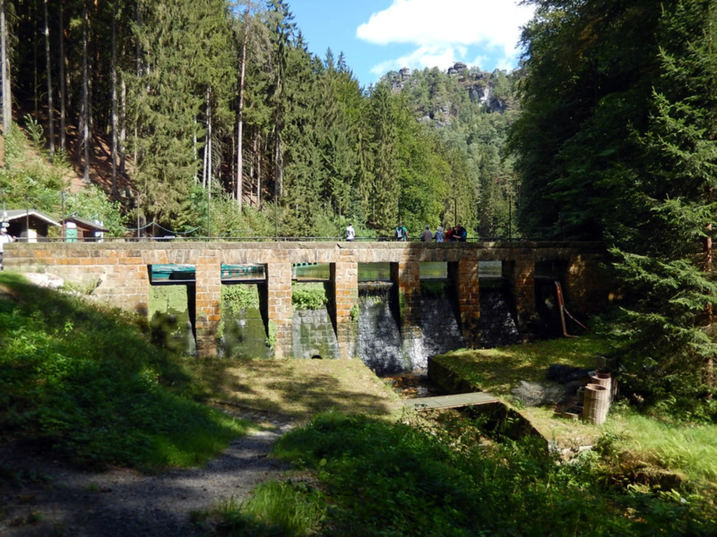
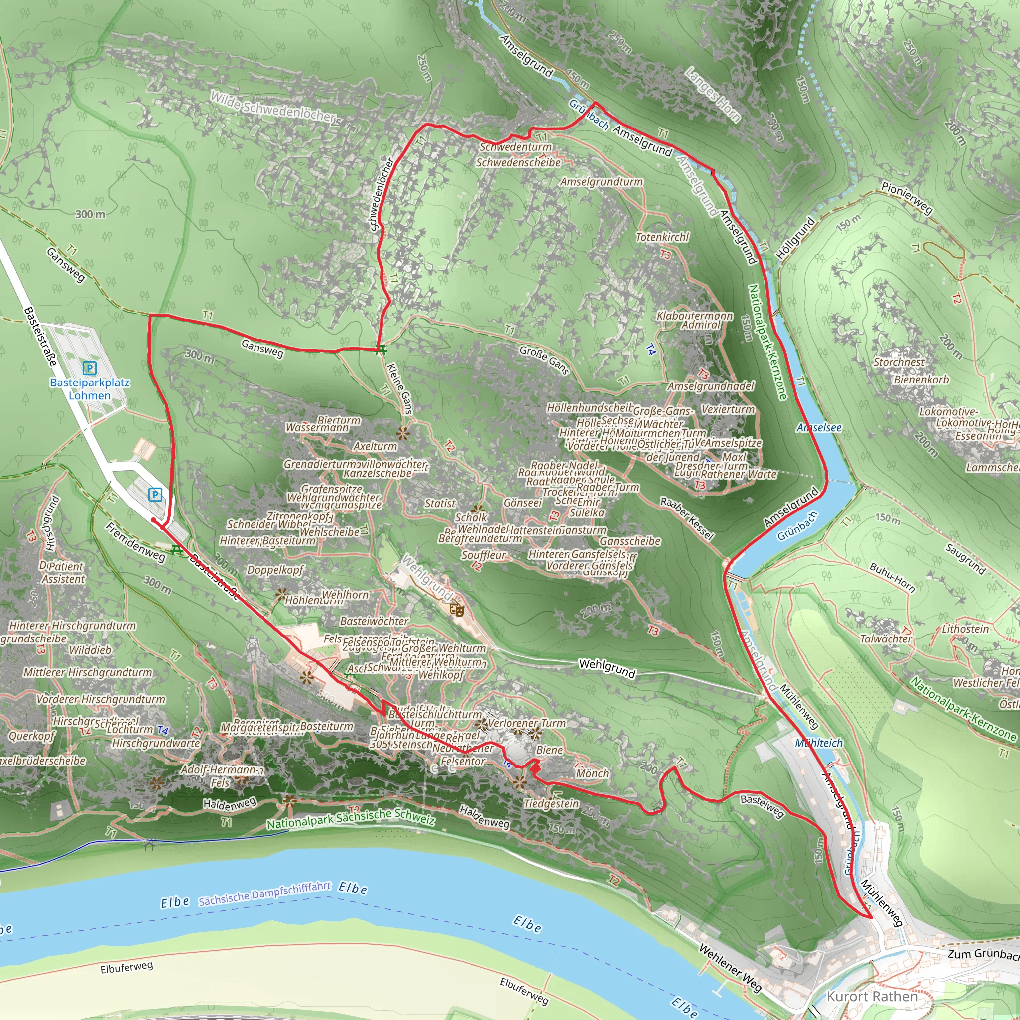
Starting your adventure near Sächsische Schweiz-Osterzgebirge, Germany, the Amselsee via Gansweg, Schwedenlöcher, and Basteiweg trail offers a captivating 4 km (2.5 miles) loop with an elevation gain of around 200 meters (656 feet). This medium-difficulty trail is perfect for those looking to explore the stunning landscapes and rich history of the Saxon Switzerland National Park.### Getting There To reach the trailhead, you can either drive or use public transport. If driving, set your GPS to the nearest known address: Kurort Rathen, 01824 Lohmen, Germany. For public transport, take a train to Kurort Rathen station, which is well-connected from major cities like Dresden. From the station, it's a short walk to the trailhead.### Trail Overview The trail begins near the picturesque Amselsee, a small lake surrounded by lush greenery. As you start your hike, you'll be greeted by the serene waters and the sound of birds chirping, making it a perfect spot for a quick photo or a moment of reflection.#### Gansweg Section The first section of the trail, Gansweg, takes you through dense forests and rocky outcrops. The path is well-marked but can be narrow and steep in places, so sturdy hiking boots are recommended. Keep an eye out for local wildlife such as deer and various bird species. This section covers approximately 1 km (0.6 miles) with a gradual ascent.#### Schwedenlöcher Section Next, you'll enter the Schwedenlöcher, a narrow gorge with steep rock walls and wooden staircases. This part of the trail is particularly enchanting, with moss-covered rocks and the sound of a nearby stream adding to the atmosphere. The Schwedenlöcher section is about 1.5 km (0.9 miles) long and involves a more significant elevation gain, so be prepared for some climbing.### Historical Significance The Schwedenlöcher gorge has historical significance dating back to the Thirty Years' War when locals used it as a hiding place from Swedish troops, hence the name "Sweden Holes." As you navigate through this section, you can almost feel the weight of history in the air.#### Basteiweg Section The final section, Basteiweg, leads you to the iconic Bastei Bridge, a sandstone bridge offering breathtaking views of the Elbe River and the surrounding rock formations. This part of the trail is about 1.5 km (0.9 miles) and relatively flat, making it a pleasant end to your hike. The Bastei Bridge is one of the most photographed landmarks in Germany, so don't forget your camera.### Navigation and Safety For navigation, it's highly recommended to use the HiiKER app, which provides detailed maps and real-time updates. The trail is well-marked, but having a reliable navigation tool ensures you stay on track.### Flora and Fauna Throughout the hike, you'll encounter a variety of flora, including ancient beech and oak trees, as well as wildflowers in the spring and summer months. The area is also home to diverse wildlife, such as red foxes, wild boars, and numerous bird species, making it a nature lover's paradise.### Final Tips Bring plenty of water, snacks, and a first-aid kit. The trail can be slippery, especially after rain, so take your time and watch your footing. Enjoy the stunning views, historical landmarks, and the natural beauty that this trail has to offer.
What to expect?
Activity types
Comments and Reviews
User comments, reviews and discussions about the Amselsee via Gansweg, Schwedenlöcher and Basteiweg, Germany.
4.56
average rating out of 5
9 rating(s)

