Download
Preview
Add to list
More
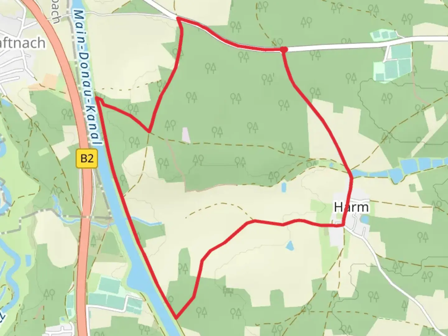
5.3 km
~1 hrs 10 min
68 m
Loop
“Explore the Harm Loop near Roth, Germany, blending natural beauty, history, and engineering marvels on an accessible hike.”
Starting your journey near the charming town of Roth, Germany, the Harm Loop via Main Donau Kanal offers a delightful 5 km (approximately 3.1 miles) loop with virtually no elevation gain, making it an accessible yet engaging hike for those seeking a medium difficulty trail. This trail is perfect for a leisurely day out, offering a blend of natural beauty and historical intrigue.
Getting There
Roth is conveniently accessible by both car and public transport. If you're driving, Roth is well-connected via the A6 and B2 highways. For those opting for public transport, the Roth train station is serviced by regional trains from Nuremberg, which is approximately a 30-minute journey. From the station, the trailhead is a short walk or a quick taxi ride away.
Trail Highlights
As you embark on the Harm Loop, you'll find yourself walking alongside the Main-Danube Canal, a marvel of engineering that connects the North Sea to the Black Sea. This canal is not only a significant waterway but also a testament to human ingenuity, having been completed in 1992 after decades of planning and construction. The canal's presence adds a unique historical layer to your hike, as you ponder the impact of this waterway on European trade and transportation.
Nature and Wildlife
The trail meanders through a picturesque landscape characterized by lush greenery and serene waters. Keep an eye out for local wildlife, including various bird species that inhabit the canal's banks. The area is a haven for birdwatchers, with opportunities to spot herons, kingfishers, and ducks. The gentle rustling of leaves and the occasional splash of water create a tranquil atmosphere, perfect for those looking to escape the hustle and bustle of city life.
Navigation and Landmarks
Using HiiKER, you can easily navigate the trail, ensuring you stay on course and make the most of your hike. As you progress, you'll encounter several noteworthy landmarks. One such landmark is the Rothsee, a beautiful lake that offers a perfect spot for a picnic or a moment of reflection. The lake is a popular destination for locals and visitors alike, providing opportunities for swimming and boating during warmer months.
Another point of interest is the charming village of Eckersmühlen, which lies near the trail. This quaint village offers a glimpse into traditional Bavarian life, with its half-timbered houses and welcoming atmosphere. Consider taking a short detour to explore its streets and perhaps enjoy a meal at a local eatery.
Historical Significance
The region around Roth is steeped in history, with roots tracing back to the Roman Empire. The Main-Danube Canal itself is a modern realization of an ancient dream to connect the Rhine, Main, and Danube rivers. As you walk along the canal, imagine the centuries of planning and ambition that culminated in this impressive feat. The trail offers a unique opportunity to reflect on the intersection of nature and human achievement, making it a rewarding experience for history enthusiasts and nature lovers alike.

Comments and Reviews
User comments, reviews and discussions about the Harm Loop via Main Donau Kanal, Germany.
average rating out of 5
0 rating(s)