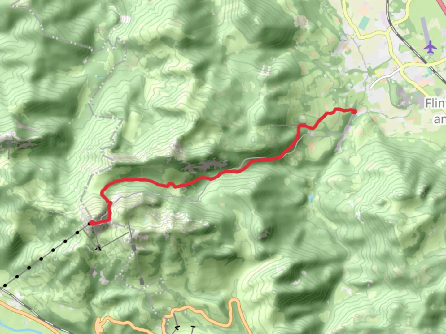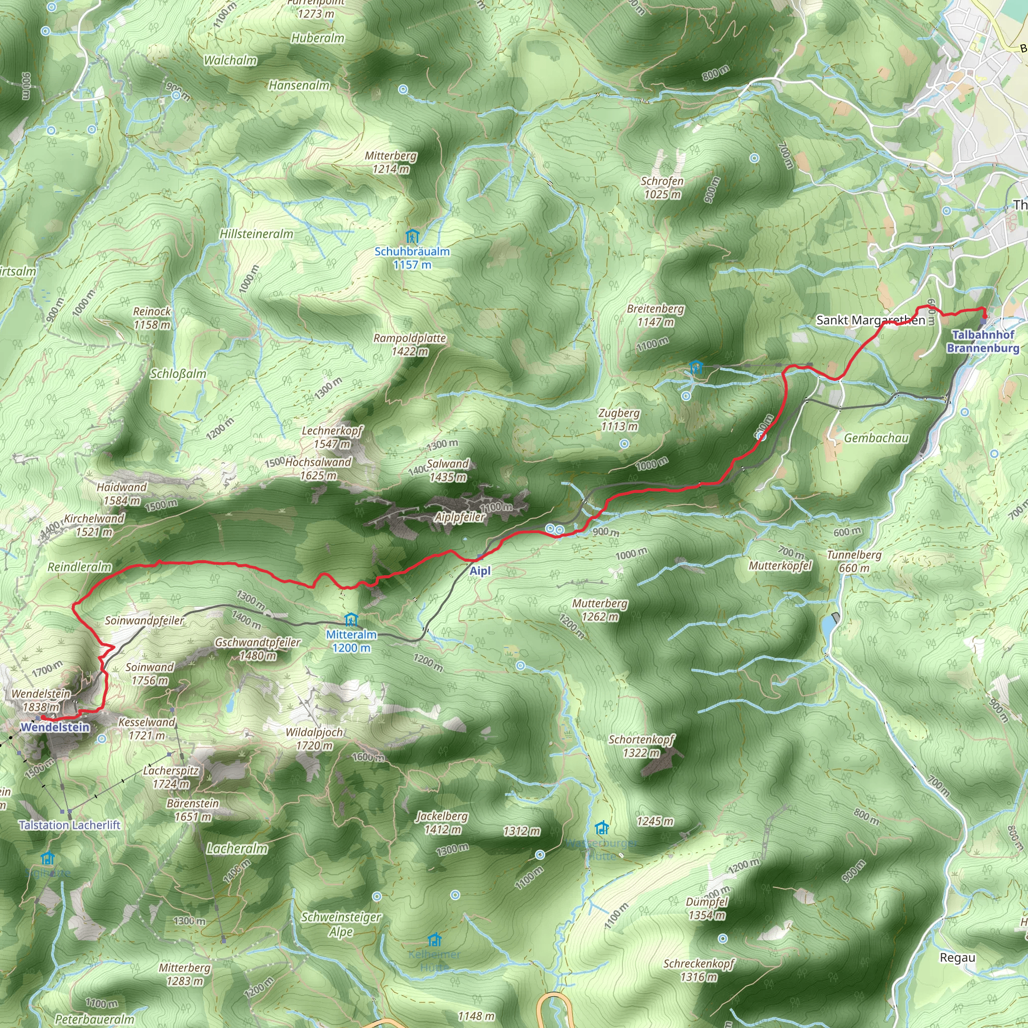
Talbahnhof Brannenburg to Wendelstein via Kuenstlerweg
Download
Preview
Add to list
More
8.7 km
~3 hrs 48 min
1242 m
Point-to-Point
“Embark on a stunning 9 km trek through Bavarian Alps, blending natural beauty and historical intrigue.”
Starting near Rosenheim, Germany, the trail from Talbahnhof Brannenburg to Wendelstein via Kuenstlerweg is a captivating journey through the Bavarian Alps. This point-to-point trail spans approximately 9 km (5.6 miles) with an elevation gain of around 1200 meters (3937 feet), making it a moderately challenging hike suitable for those with a good level of fitness.
Getting There To reach the trailhead, you can either drive or use public transport. If driving, head towards Brannenburg, where parking is available near the Talbahnhof Brannenburg station. For those using public transport, take a train to Brannenburg station, which is well-connected from major cities like Munich and Rosenheim. From the station, it's a short walk to the trailhead.
Trail Overview The trail begins at Talbahnhof Brannenburg, a historic railway station that serves as the gateway to the Wendelstein mountain. As you start your ascent, you'll follow the Kuenstlerweg, a path named after the many artists who have found inspiration in this scenic region.
Key Landmarks and Sections - **Initial Ascent (0-3 km / 0-1.9 miles):** The first section of the trail takes you through dense forests and along well-marked paths. The elevation gain is gradual but steady, with the trail winding through lush greenery. Keep an eye out for local wildlife such as deer and various bird species. The forest canopy provides ample shade, making this part of the hike quite pleasant.
- Midway Point (3-6 km / 1.9-3.7 miles): As you continue, the trail opens up to more rugged terrain. Here, you'll encounter rocky outcrops and steeper inclines. The views start to become more expansive, offering glimpses of the surrounding valleys and distant peaks. This section is also rich in alpine flora, with wildflowers dotting the landscape during the warmer months.
- Historical Significance: Around the 5 km (3.1 miles) mark, you'll come across remnants of old mountain huts and shelters, some dating back to the early 20th century. These structures were used by shepherds and hikers alike, adding a touch of historical intrigue to your journey.
- Final Ascent (6-9 km / 3.7-5.6 miles): The last stretch to Wendelstein is the most challenging, with a steep climb that tests your endurance. However, the effort is well worth it as you approach the summit. The Wendelstein mountain is home to the famous Wendelstein Church, one of the highest churches in Germany, and the Wendelstein Observatory, which offers panoramic views of the Alps.
Navigation and Safety Given the elevation gain and varying terrain, it's advisable to use a reliable navigation tool like HiiKER to stay on track. The trail is well-marked, but weather conditions can change rapidly in the mountains, so always be prepared with appropriate gear, including sturdy hiking boots, weatherproof clothing, and sufficient water and snacks.
Flora and Fauna The trail is a haven for nature enthusiasts. In addition to the diverse birdlife and occasional deer sightings, you may also spot marmots and chamois in the higher altitudes. The flora ranges from dense forest vegetation at lower elevations to alpine meadows filled with wildflowers as you climb higher.
Final Stretch As you reach the summit of Wendelstein, take a moment to soak in the breathtaking views. On a clear day, you can see as far as Munich to the north and the Central Alps to the south. The Wendelstein Church and Observatory are must-visit landmarks, offering both spiritual and scientific insights into this remarkable region.
This trail offers a perfect blend of natural beauty, historical significance, and physical challenge, making it a rewarding experience for any avid hiker.
What to expect?
Activity types
Comments and Reviews
User comments, reviews and discussions about the Talbahnhof Brannenburg to Wendelstein via Kuenstlerweg, Germany.
4.75
average rating out of 5
4 rating(s)
