Download
Preview
Add to list
More
12.6 km
~4 hrs 37 min
1257 m
Loop
“Explore natural beauty, historical landmarks, and diverse wildlife on this rewarding 13-km Kampenwand Innerer loop trail.”
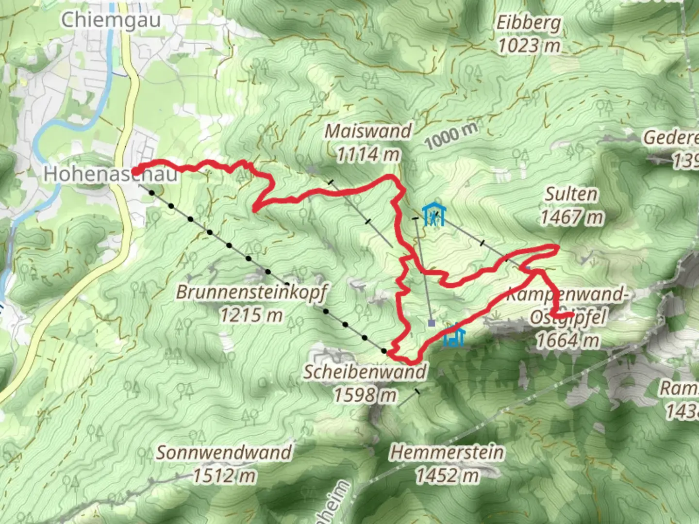
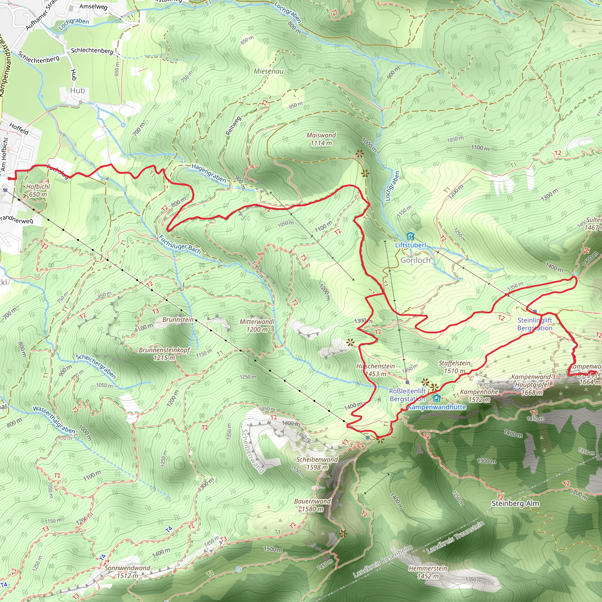
Starting near Rosenheim, Germany, the Kampenwand Innerer via Ziehweg and Kaisersale trail is a loop trail that spans approximately 13 kilometers (8 miles) with an elevation gain of around 1200 meters (3937 feet). This medium-difficulty trail offers a blend of natural beauty, historical landmarks, and diverse wildlife, making it a rewarding experience for hikers.
Getting There To reach the trailhead, you can either drive or use public transport. If driving, head towards Aschau im Chiemgau, a small town near Rosenheim. There are parking facilities available near the Kampenwandbahn cable car station. For those using public transport, take a train to Prien am Chiemsee and then a bus to Aschau im Chiemgau. From there, it's a short walk to the trailhead.
Trail Overview The trail begins near the Kampenwandbahn cable car station. As you start your hike, you'll follow the Ziehweg path, which gradually ascends through lush forests. The initial section is relatively gentle, allowing you to acclimate to the elevation gain. After about 3 kilometers (1.9 miles), you'll reach a clearing that offers your first panoramic views of the Chiemgau Alps.
Significant Landmarks At approximately 5 kilometers (3.1 miles) into the hike, you'll encounter the Kaisersale, a historical site that dates back to the times of the Bavarian kings. This area was once a popular hunting ground for royalty, and you can still see remnants of old hunting lodges. The Kaisersale offers a perfect spot for a short break, allowing you to soak in the historical ambiance and enjoy the surrounding scenery.
Wildlife and Nature As you continue your ascent, the trail becomes steeper and more challenging. The forested areas give way to alpine meadows, where you might spot a variety of wildlife, including chamois, marmots, and a diverse array of bird species. Keep an eye out for the rare Apollo butterfly, which is native to this region.
Reaching the Summit Around the 8-kilometer (5-mile) mark, you'll reach the summit of Kampenwand. The peak stands at 1669 meters (5476 feet) and offers breathtaking 360-degree views of the Bavarian Alps and the Chiemsee lake. This is a great spot for a longer rest and some photography. The summit is marked by a large cross, a common feature in the Alps, symbolizing the region's deep-rooted Christian heritage.
Descent and Return The descent follows a different path, looping back towards the starting point. This section of the trail is less steep but requires careful footing, especially if the ground is wet. You'll pass through more meadows and forests, eventually rejoining the Ziehweg path. The final stretch is a gentle downhill walk, bringing you back to the Kampenwandbahn cable car station.
Navigation and Safety For navigation, it's highly recommended to use the HiiKER app, which provides detailed maps and real-time updates. Ensure you have adequate water, snacks, and appropriate clothing, as weather conditions can change rapidly in the mountains. Hiking poles can be beneficial for both the ascent and descent.
This trail offers a perfect blend of natural beauty, historical significance, and moderate physical challenge, making it an excellent choice for hikers looking to explore the Bavarian Alps.
What to expect?
Activity types
Comments and Reviews
User comments, reviews and discussions about the Kampenwand Innerer via Ziehweg and Kaisersale, Germany.
5.0
average rating out of 5
2 rating(s)
