Download
Preview
Add to list
More
13.9 km
~3 hrs 48 min
621 m
Loop
“The Bad Feilnbach Loop offers scenic views, historical landmarks, and moderate challenges for seasoned hikers.”
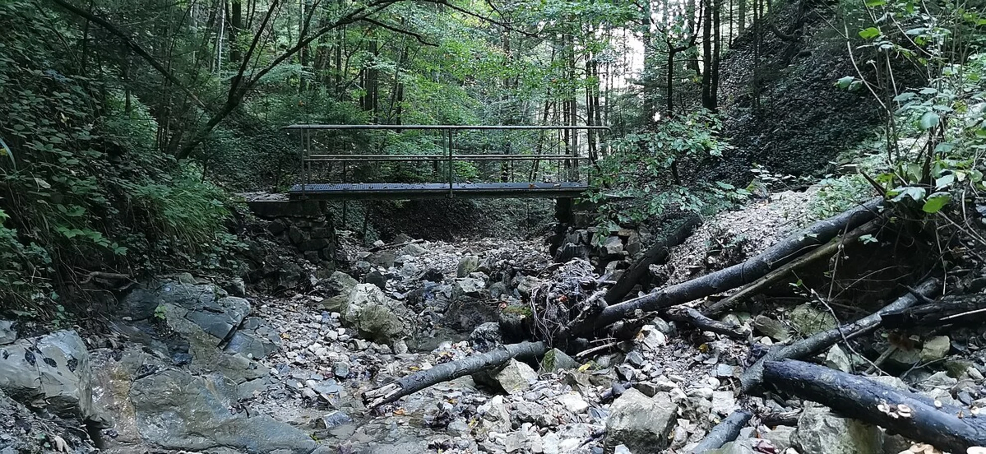
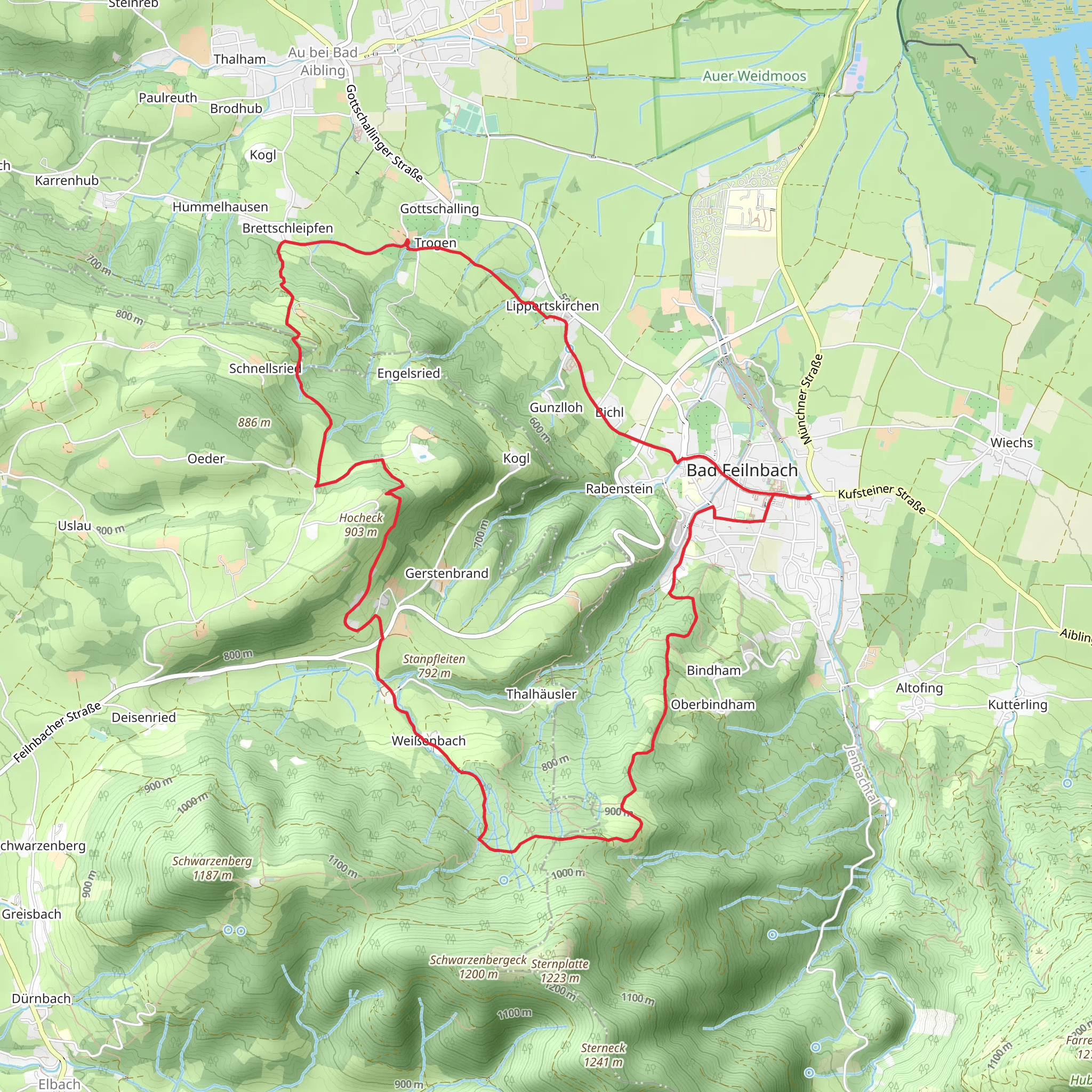
Starting near the picturesque town of Rosenheim, Germany, the Bad Feilnbach Loop is a delightful 14 km (8.7 miles) trail with an elevation gain of approximately 600 meters (1,968 feet). This loop trail offers a medium difficulty rating, making it suitable for moderately experienced hikers.### Getting There To reach the trailhead, you can either drive or use public transport. If driving, set your GPS to Bad Feilnbach, a charming spa town located about 20 km (12.4 miles) southwest of Rosenheim. For those opting for public transport, take a train to Rosenheim and then a bus to Bad Feilnbach. The bus services are frequent and well-connected, making it convenient for hikers.### Trail Overview The trail begins near the Kurpark in Bad Feilnbach, a well-known spa park that offers a serene starting point. As you set off, you'll be greeted by lush meadows and dense forests, typical of the Bavarian landscape. The first 2 km (1.2 miles) are relatively flat, allowing you to ease into the hike.### Elevation and Terrain Around the 3 km (1.9 miles) mark, the trail starts to ascend more steeply. You'll gain about 300 meters (984 feet) in elevation over the next 4 km (2.5 miles). This section can be challenging, but the well-maintained path and occasional benches provide opportunities for rest.### Landmarks and Points of Interest At approximately 5 km (3.1 miles), you'll come across the Jenbach Waterfall, a stunning natural feature that offers a perfect spot for a short break and some photos. Continuing on, the trail leads you through mixed forests and open fields, offering panoramic views of the surrounding mountains.### Historical Significance The region around Bad Feilnbach has a rich history, dating back to Roman times. The town itself was first mentioned in historical records in the 8th century. As you hike, you'll notice several old farmhouses and chapels, some of which date back several centuries. These structures offer a glimpse into the area's past and its agricultural heritage.### Wildlife and Flora The trail is home to a variety of wildlife, including deer, foxes, and numerous bird species. The flora is equally diverse, with wildflowers, ferns, and ancient trees lining the path. Spring and early summer are particularly beautiful times to hike, as the meadows burst into bloom.### Navigation For navigation, it's highly recommended to use the HiiKER app, which provides detailed maps and real-time updates. The trail is well-marked, but having a reliable navigation tool can enhance your hiking experience and ensure you stay on track.### Final Stretch The last 3 km (1.9 miles) of the trail descend gradually back towards Bad Feilnbach. This section offers more open views and a chance to reflect on the hike as you make your way back to the starting point. The loop concludes back at the Kurpark, where you can relax and perhaps enjoy a meal at one of the local eateries.This trail offers a balanced mix of natural beauty, historical landmarks, and moderate physical challenge, making it a rewarding experience for those who undertake it.
Comments and Reviews
User comments, reviews and discussions about the Bad Feilnbach Loop, Germany.
average rating out of 5
0 rating(s)

