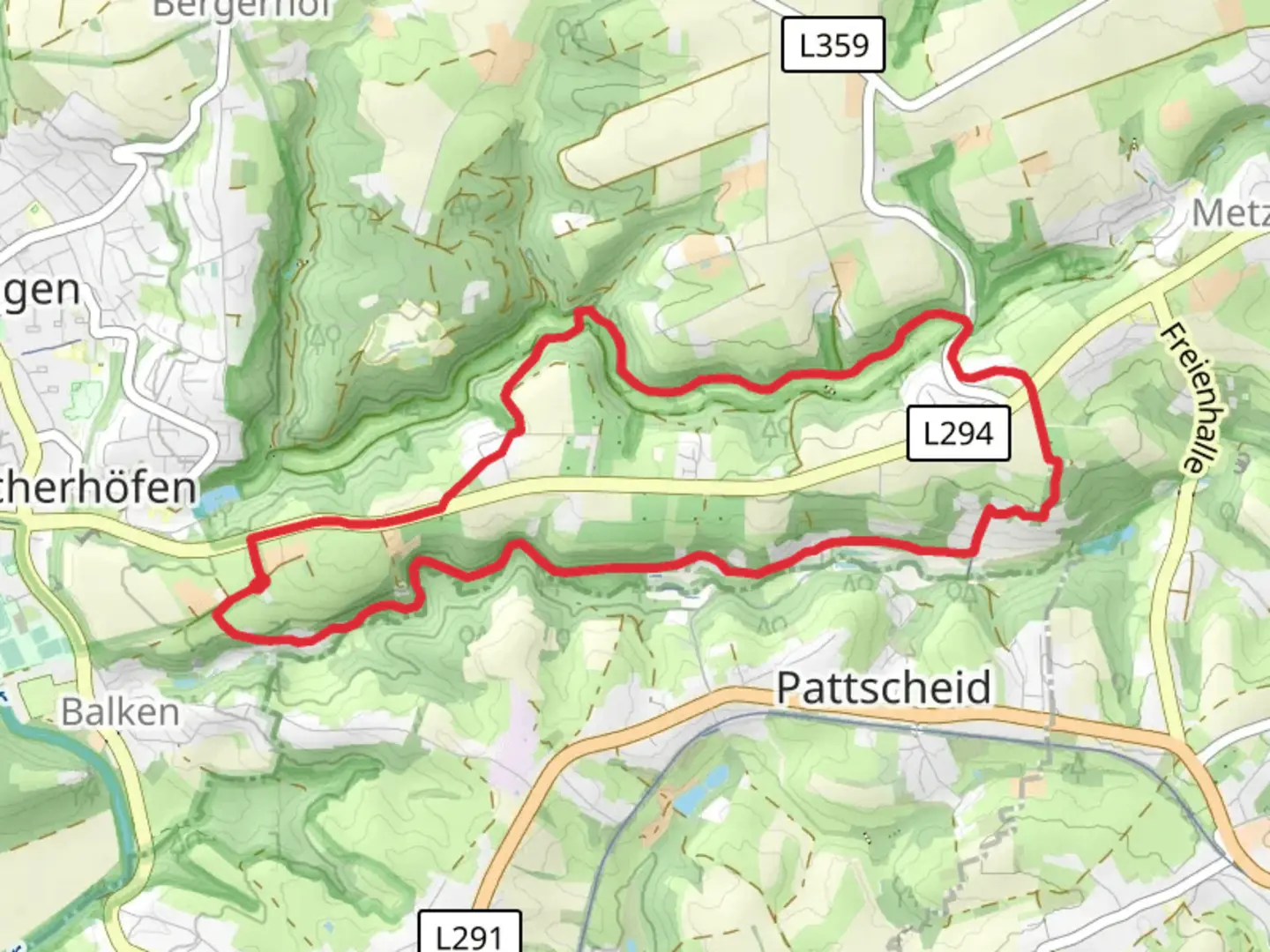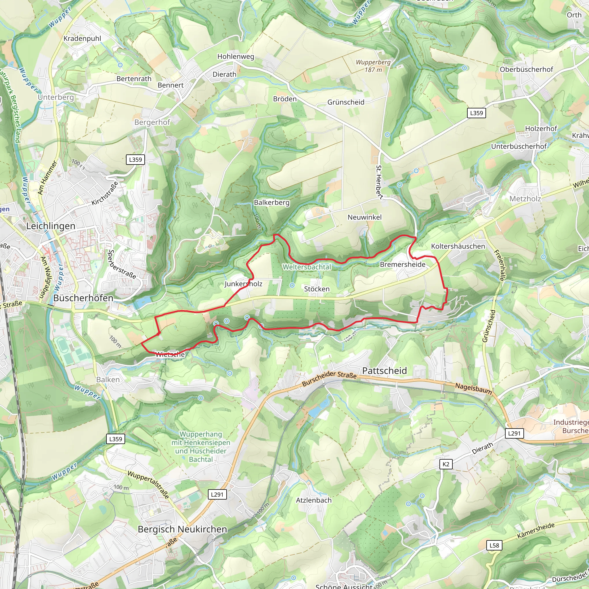
Talsperre Diepental via Leichlingen Sonne Rundweg
Download
Preview
Add to list
More
8.9 km
~2 hrs 1 min
144 m
Loop
“The Talsperre Diepental via Leichlingen Sonne Rundweg offers scenic beauty, historical landmarks, and wildlife observation.”
Starting near Rheinisch-Bergischer Kreis, Germany, the Talsperre Diepental via Leichlingen Sonne Rundweg is a scenic loop trail that spans approximately 9 km (5.6 miles) with an elevation gain of around 100 meters (328 feet). This medium-difficulty trail offers a delightful mix of natural beauty, historical landmarks, and opportunities for wildlife observation.
Getting There To reach the trailhead, you can either drive or use public transport. If driving, set your GPS to Leichlingen, a town in the Rheinisch-Bergischer Kreis. There are several parking options available near the starting point. For those using public transport, take a train to Leichlingen station. From there, local buses or a short taxi ride will get you to the trailhead.
Trail Navigation For navigation, it's highly recommended to use the HiiKER app, which provides detailed maps and real-time updates to ensure you stay on track.
Trail Highlights
#### Diepental Reservoir One of the first significant landmarks you'll encounter is the Diepental Reservoir. This serene body of water is perfect for a quick rest stop. The reservoir is surrounded by lush greenery, making it a great spot for birdwatching. Keep an eye out for local species such as the Eurasian blue tit and the great spotted woodpecker.
#### Leichlingen Sonne As you continue, you'll pass through the area known as Leichlingen Sonne. This part of the trail offers panoramic views of the surrounding countryside. The rolling hills and open fields are particularly stunning during sunrise and sunset, providing excellent photo opportunities.
#### Historical Significance The region around Leichlingen has a rich history dating back to the Roman era. Along the trail, you may come across remnants of old Roman roads and ancient boundary stones. These historical markers offer a glimpse into the past and add an educational element to your hike.
Flora and Fauna The trail is abundant with diverse flora and fauna. Depending on the season, you might see wildflowers such as bluebells and foxgloves. The forested sections are home to various mammals, including deer and foxes. Always be respectful of wildlife and maintain a safe distance.
Elevation and Terrain The trail features a moderate elevation gain of around 100 meters (328 feet), making it accessible for most hikers with a reasonable level of fitness. The terrain is varied, with sections of both paved paths and natural trails. Some parts can be muddy after rain, so appropriate footwear is recommended.
Amenities and Safety There are several benches and picnic spots along the route, providing ample opportunities to rest and enjoy the scenery. Make sure to carry enough water and snacks, as there are limited facilities once you are on the trail. Mobile reception can be patchy in some areas, so having a downloaded map on HiiKER is advisable.
Final Stretch As you near the end of the loop, you'll return to the starting point near Rheinisch-Bergischer Kreis. This final section is relatively flat and offers a gentle cooldown after the more challenging parts of the hike.
This trail offers a well-rounded experience with its mix of natural beauty, historical significance, and moderate physical challenge. Whether you're a seasoned hiker or a casual walker, the Talsperre Diepental via Leichlingen Sonne Rundweg provides a rewarding outdoor adventure.
What to expect?
Activity types
Comments and Reviews
User comments, reviews and discussions about the Talsperre Diepental via Leichlingen Sonne Rundweg, Germany.
4.0
average rating out of 5
2 rating(s)
