Saurier Fels, Mehrholzer Hohe and Oma's Ruh Loop - Espenschied
Download
Preview
Add to list
More
14.5 km
~3 hrs 53 min
591 m
Loop
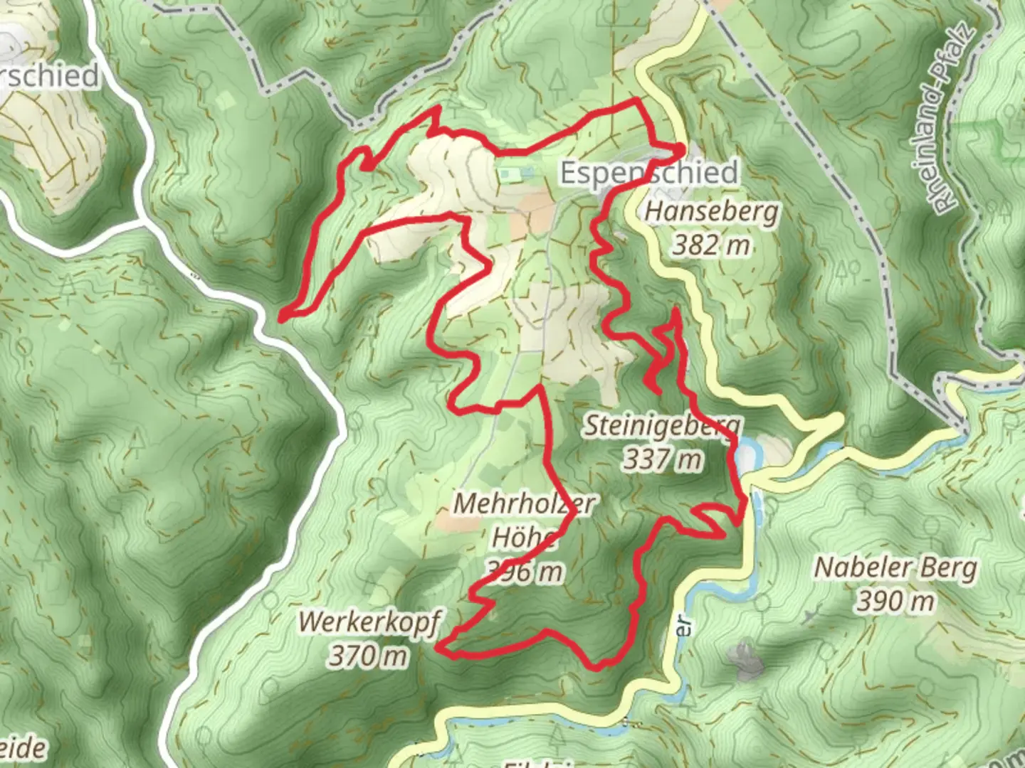
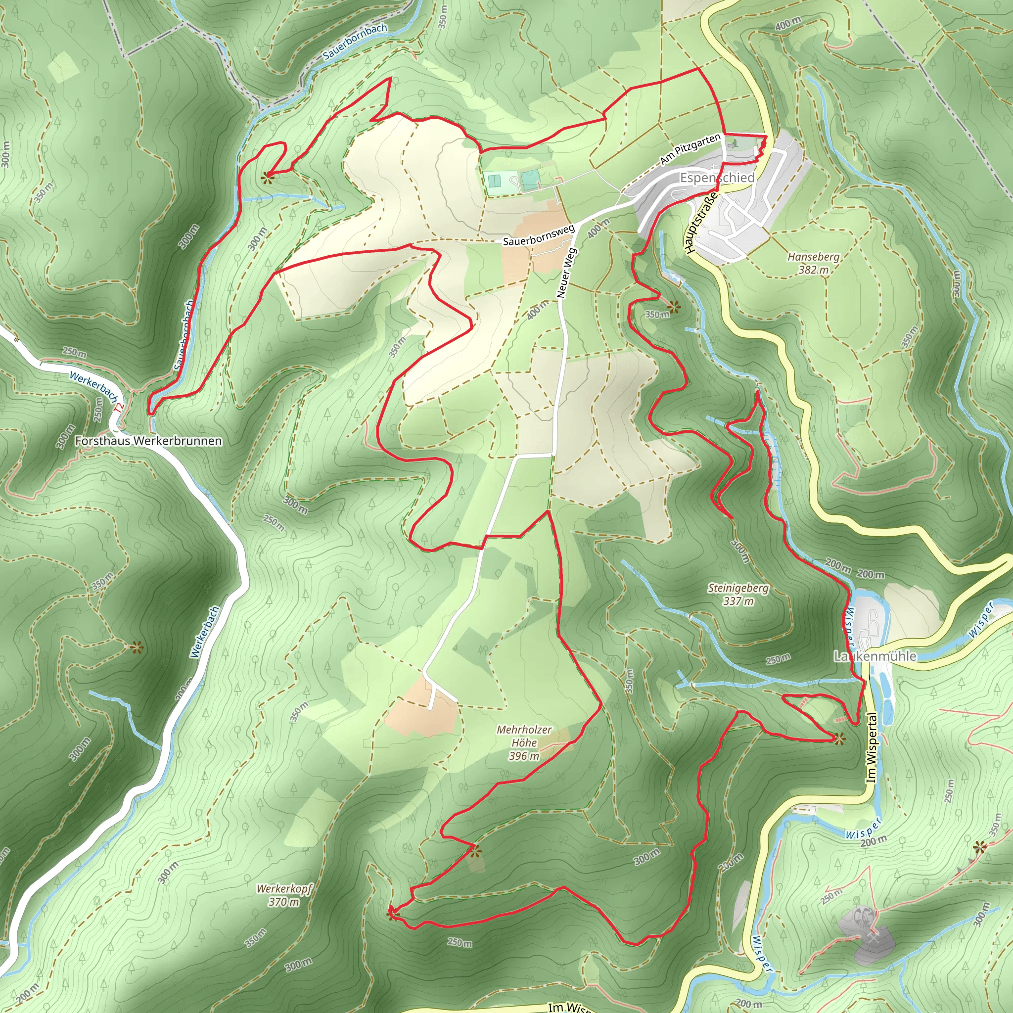
“Explore a 14 km loop trail from Espenschied, featuring Saurier Fels, Mehrholzer Hohe, and Oma's Ruh.”
Starting near Rheingau-Taunus-Kreis, Germany, this 14 km (approximately 8.7 miles) loop trail offers a moderate challenge with an elevation gain of around 500 meters (1,640 feet). The trailhead is conveniently accessible by car or public transport. If driving, you can park near Espenschied, a small village in the region. For those using public transport, take a train to Lorch and then a bus to Espenschied.
Initial Ascent and Saurier Fels
The trail begins with a gentle ascent through dense forest, gradually increasing in steepness as you approach the first significant landmark, Saurier Fels. This rock formation is named for its resemblance to a dinosaur and offers a fantastic viewpoint over the surrounding landscape. The climb to Saurier Fels covers approximately 3 km (1.9 miles) with an elevation gain of about 150 meters (492 feet).
Mehrholzer Hohe
Continuing from Saurier Fels, the trail leads you to Mehrholzer Hohe, the highest point of the hike. This section is about 4 km (2.5 miles) from Saurier Fels and involves another 200 meters (656 feet) of elevation gain. Mehrholzer Hohe provides panoramic views of the Taunus mountain range and is an excellent spot for a rest and some photos.
Oma's Ruh
From Mehrholzer Hohe, the trail descends towards Oma's Ruh, a serene resting spot named after a local legend. This part of the trail is approximately 3 km (1.9 miles) and features a descent of about 100 meters (328 feet). Oma's Ruh is a great place to take a break, enjoy a picnic, and soak in the tranquility of the forest.
Flora and Fauna
Throughout the hike, you'll encounter a variety of flora and fauna. The forested areas are home to oak, beech, and pine trees, while the underbrush is rich with ferns and wildflowers. Wildlife enthusiasts might spot deer, foxes, and a variety of bird species, including woodpeckers and owls.
Historical Significance
The region around Rheingau-Taunus-Kreis has a rich history dating back to Roman times. The trail itself passes near several historical sites, including remnants of ancient Roman roads and medieval fortifications. These landmarks offer a glimpse into the area's past and add an educational aspect to your hike.
Navigation and Safety
For navigation, it's highly recommended to use the HiiKER app, which provides detailed maps and real-time GPS tracking. The trail is well-marked, but having a reliable navigation tool ensures you stay on course. Make sure to wear sturdy hiking boots, carry enough water, and pack some snacks. Weather can change rapidly, so bring a rain jacket and check the forecast before heading out.
Return to Trailhead
The final leg of the loop brings you back to Espenschied, covering the remaining 4 km (2.5 miles) with a gentle descent. This section is relatively easy and allows you to cool down as you make your way back to the starting point.
What to expect?
Activity types
Comments and Reviews
User comments, reviews and discussions about the Saurier Fels, Mehrholzer Hohe and Oma's Ruh Loop - Espenschied, Germany.
4.0
average rating out of 5
5 rating(s)
