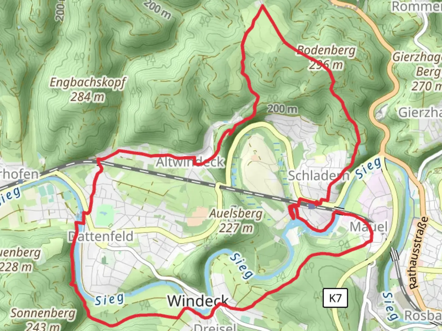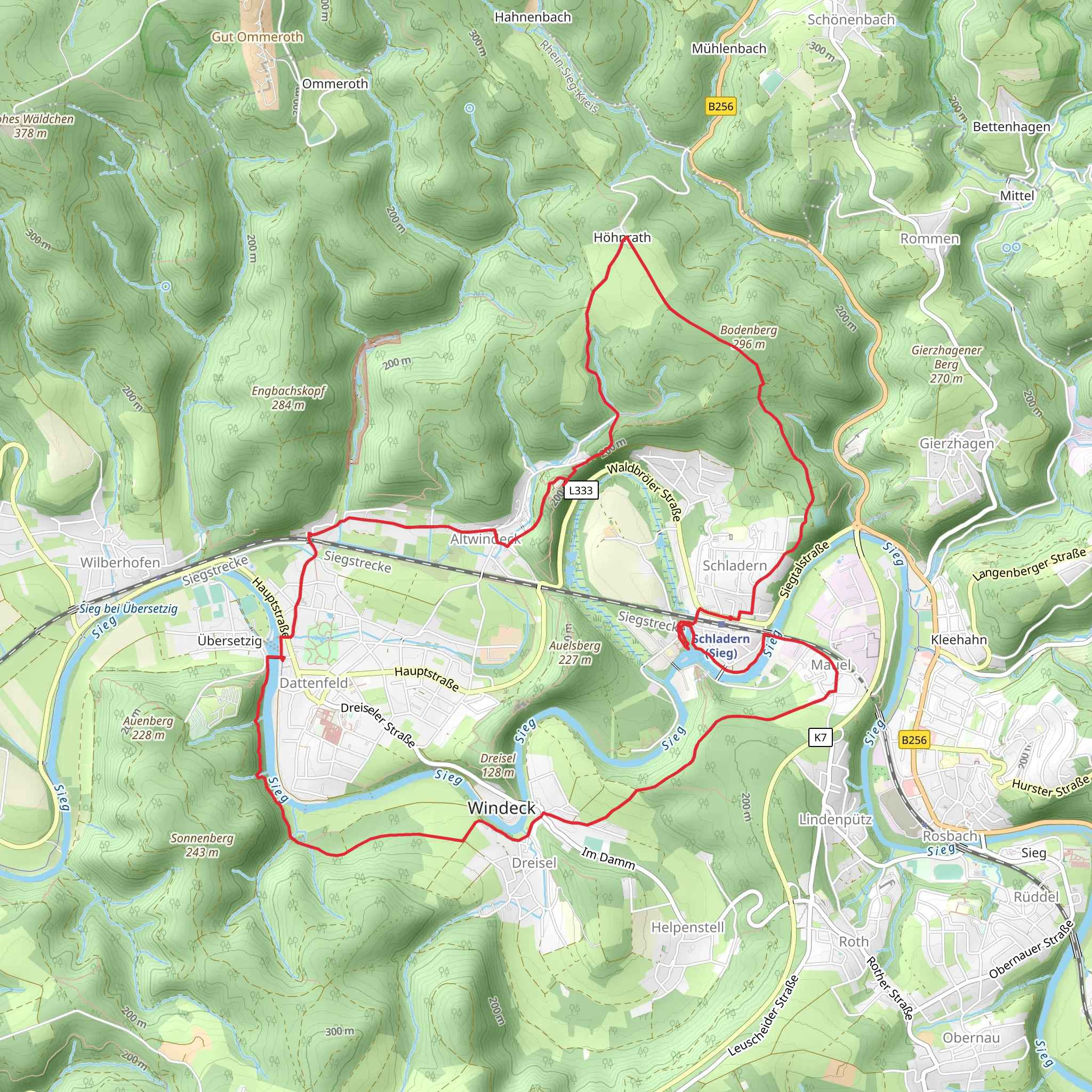
Sieg and Hoeffers Teich via Schladern Rundweg and Altwindeck Rungweg Dreieck
Download
Preview
Add to list
More
14.4 km
~3 hrs 27 min
353 m
Loop
“Experience lush forests, historical ruins, and diverse wildlife on this rewarding 14 km loop near Schladern.”
Starting your hike near Rhein-Sieg-Kreis, Germany, this 14 km (8.7 miles) loop trail offers a moderate challenge with an elevation gain of approximately 300 meters (984 feet). The trailhead is conveniently accessible by both public transport and car. If you're using public transport, take a train to Schladern (Sieg) station, which is a short walk from the trailhead. For those driving, parking is available near the station or at designated parking areas in Schladern.### Initial Ascent and Schladern RundwegThe trail begins with a gentle ascent through lush forests, providing a serene start to your journey. As you follow the Schladern Rundweg, you'll encounter the impressive Sieg Waterfall around the 2 km (1.2 miles) mark. This natural wonder is one of the largest waterfalls in North Rhine-Westphalia and offers a perfect spot for a short break and some photography.### Historical Significance and Altwindeck CastleContinuing along the trail, you'll reach the Altwindeck Rundweg. Here, the path takes you to the ruins of Altwindeck Castle, approximately 5 km (3.1 miles) into the hike. The castle dates back to the 12th century and offers a glimpse into the region's medieval history. The ruins are perched on a hill, providing panoramic views of the surrounding countryside. This section of the trail is particularly rich in history, so take your time to explore and appreciate the ancient architecture.### Hoeffers Teich and WildlifeAround the 8 km (5 miles) mark, you'll come across Hoeffers Teich, a tranquil pond surrounded by dense woodland. This area is a haven for birdwatchers, with various species of waterfowl and songbirds frequently spotted. The pond is also home to a variety of amphibians and small mammals, making it a great spot for nature enthusiasts.### Navigation and Trail ConditionsThe trail is well-marked, but it's always a good idea to have a reliable navigation tool like HiiKER to ensure you stay on track. The terrain varies from well-maintained paths to more rugged sections, so sturdy hiking boots are recommended. Be prepared for some steep inclines and descents, particularly around the castle ruins and the pond.### Final Stretch and ReturnAs you loop back towards Schladern, the trail descends gently through mixed forests and open meadows. The final 3 km (1.9 miles) offer a relaxing end to your hike, with the opportunity to spot local wildlife such as deer and foxes. The trail concludes back at the starting point near Schladern (Sieg) station, where you can easily catch a train or return to your parked car.This hike offers a perfect blend of natural beauty, historical landmarks, and diverse wildlife, making it a rewarding experience for hikers of all levels.
What to expect?
Activity types
Comments and Reviews
User comments, reviews and discussions about the Sieg and Hoeffers Teich via Schladern Rundweg and Altwindeck Rungweg Dreieck, Germany.
4.0
average rating out of 5
4 rating(s)
