Download
Preview
Add to list
More
13.6 km
~2 hrs 57 min
145 m
Loop
“The 14 km Moltkeberg and Telegraphenberg Loop near Spich offers scenic views, historical intrigue, and moderate difficulty.”
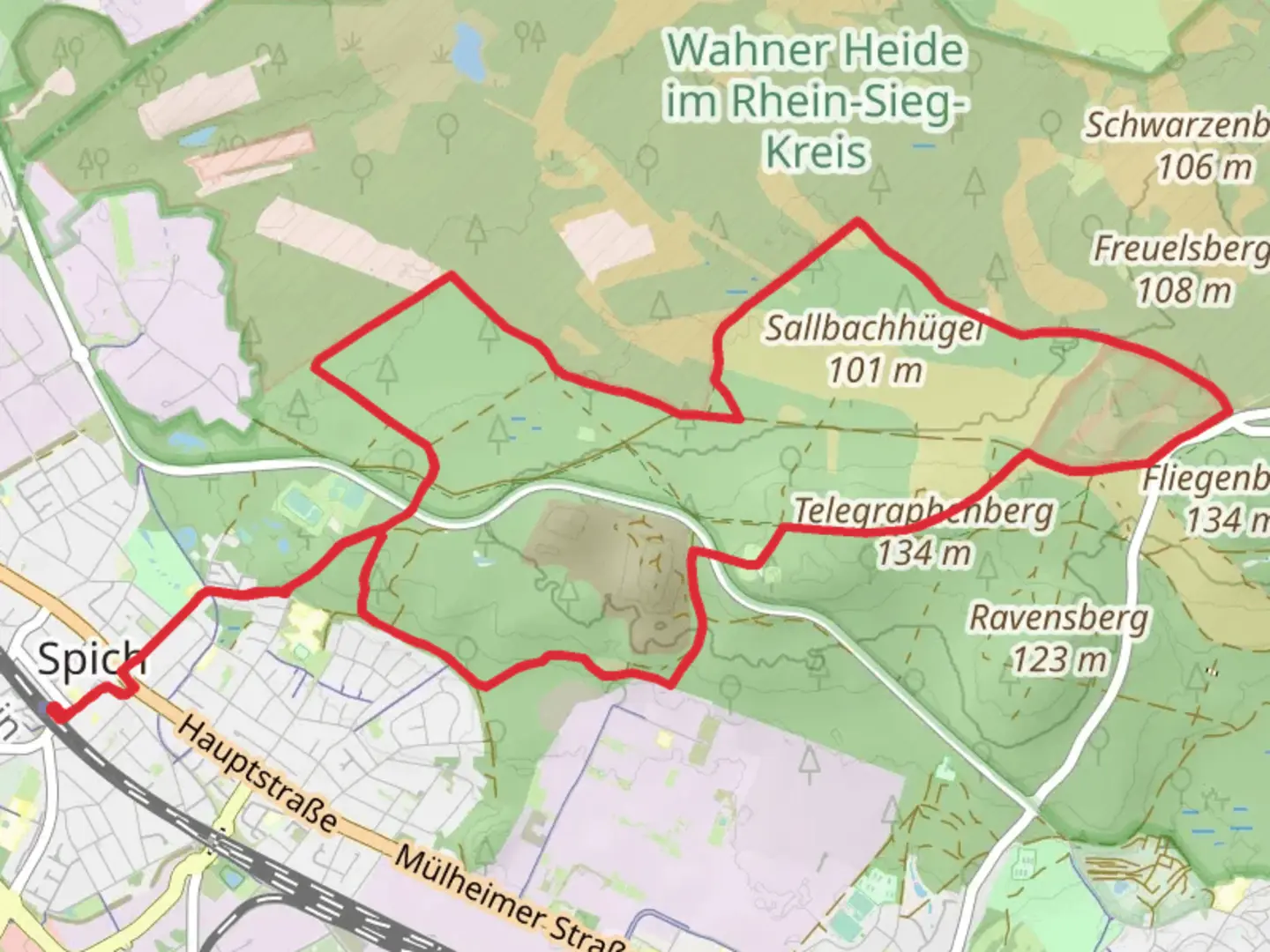
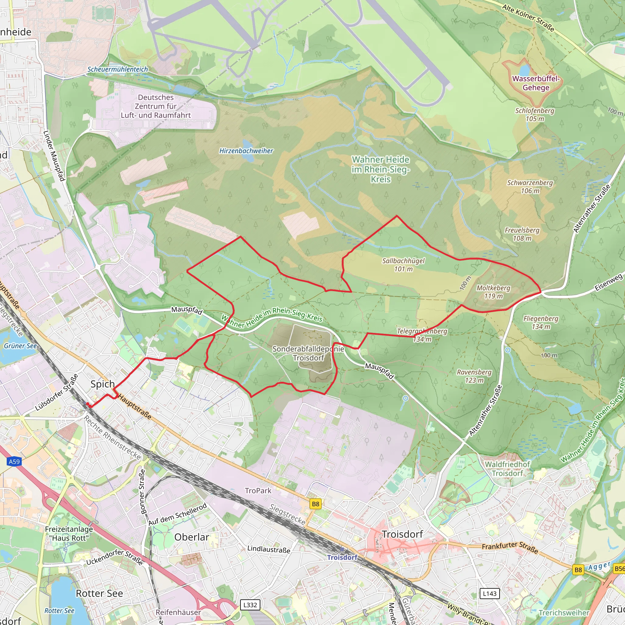
Starting your hike near Rhein-Sieg-Kreis, Germany, the Moltkeberg and Telegraphenberg Loop via Spich is a delightful 14 km (8.7 miles) loop trail with an elevation gain of approximately 100 meters (328 feet). This trail is rated as medium difficulty, making it suitable for moderately experienced hikers.
Getting There To reach the trailhead, you can either drive or use public transport. If you're driving, set your GPS to Spich, a district in Troisdorf, which is the nearest significant landmark. There are parking facilities available near the starting point. For those using public transport, take a train to Troisdorf Station and then a local bus to Spich. The trailhead is a short walk from the bus stop.
Trail Navigation For navigation, it's highly recommended to use HiiKER, which provides detailed maps and real-time updates. The trail is well-marked, but having a reliable navigation tool will enhance your hiking experience.
Trail Highlights #### Moltkeberg The first significant landmark you'll encounter is Moltkeberg. This section of the trail offers a gentle ascent, providing panoramic views of the surrounding countryside. The elevation gain here is gradual, making it a pleasant climb. Keep an eye out for various bird species that inhabit this area, including hawks and woodpeckers.
#### Telegraphenberg As you continue, you'll reach Telegraphenberg, another notable high point on the trail. This area is historically significant as it was once part of a network of telegraph stations used in the 19th century. The remnants of these stations can still be seen, offering a glimpse into the region's past. The views from Telegraphenberg are equally stunning, with vistas that stretch across the Rhine Valley.
Flora and Fauna The trail winds through a mix of deciduous and coniferous forests, providing a diverse range of flora. In spring and summer, the forest floor is carpeted with wildflowers, including bluebells and daisies. Wildlife is abundant; you may spot deer, foxes, and a variety of bird species. The forested sections offer shade, making it a comfortable hike even on warmer days.
Points of Interest #### Historical Significance The region around Rhein-Sieg-Kreis has a rich history. During your hike, you'll come across several information boards detailing the historical significance of the area, including its role in the telegraph network and its strategic importance during various historical periods.
#### Natural Springs There are a few natural springs along the trail where you can refill your water bottles. These springs are well-maintained and provide fresh, clean water. Make sure to carry a reusable water bottle to stay hydrated.
Trail Conditions The trail is mostly well-maintained, with a mix of dirt paths and gravel roads. Some sections can be muddy after rain, so waterproof hiking boots are recommended. The trail is accessible year-round, but the best times to hike are during spring and autumn when the weather is mild, and the foliage is at its most vibrant.
Safety Tips While the trail is generally safe, it's always good to be prepared. Carry a basic first aid kit, and make sure your phone is fully charged. Inform someone about your hiking plans and expected return time. Using HiiKER will also allow you to share your location in real-time, adding an extra layer of safety.
This 14 km loop offers a perfect blend of natural beauty, historical intrigue, and moderate physical challenge, making it a rewarding experience for any hiker.
What to expect?
Activity types
Comments and Reviews
User comments, reviews and discussions about the Moltkeberg and Telegraphenberg Loop via Spich, Germany.
4.4
average rating out of 5
5 rating(s)
