Download
Preview
Add to list
More
8.3 km
~2 hrs 10 min
304 m
Loop
“Discover the perfect blend of natural beauty, history, and diverse wildlife on the 8 km Rundwanderweg Breitenstein and Neckarsteig.”
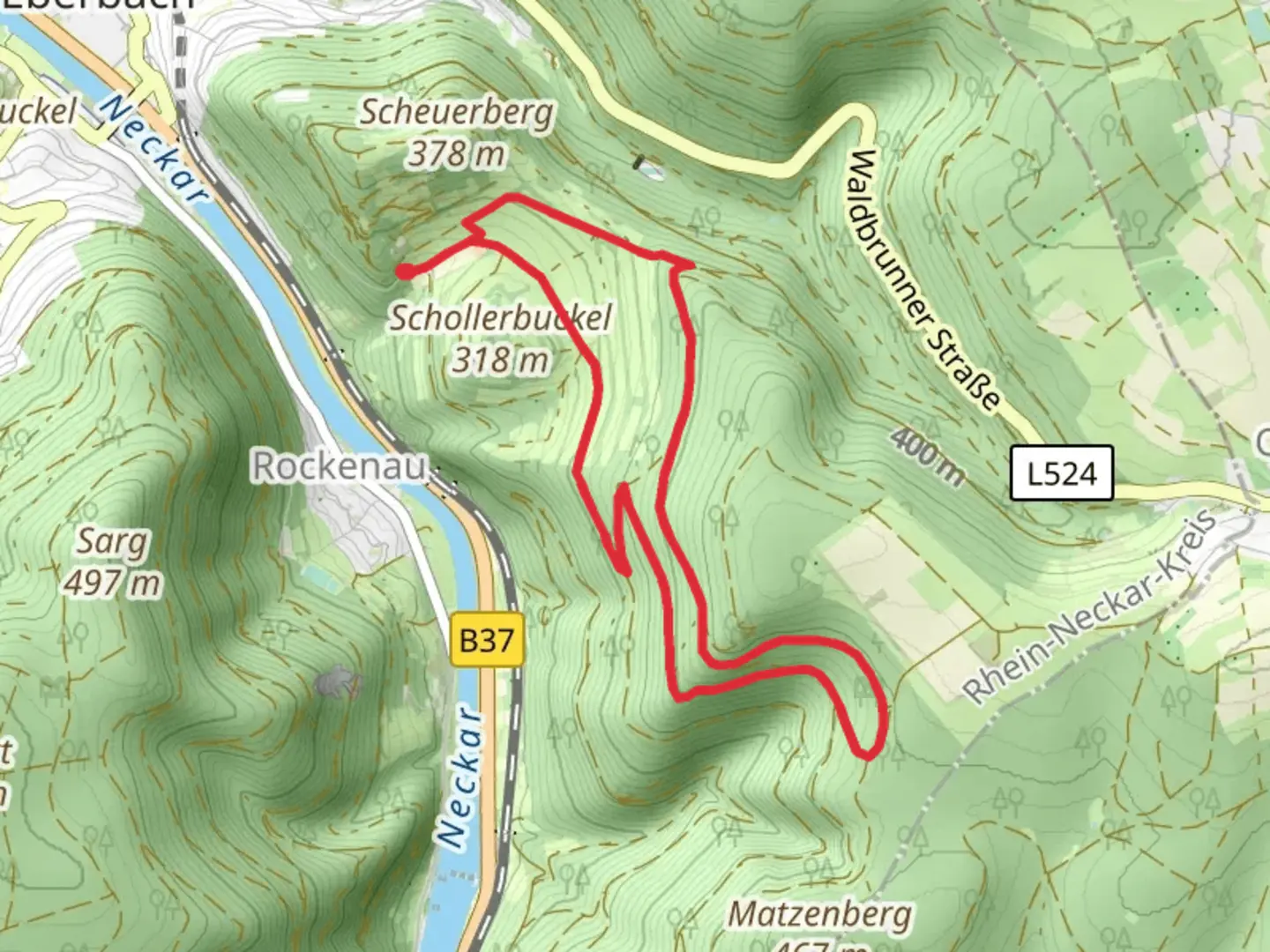
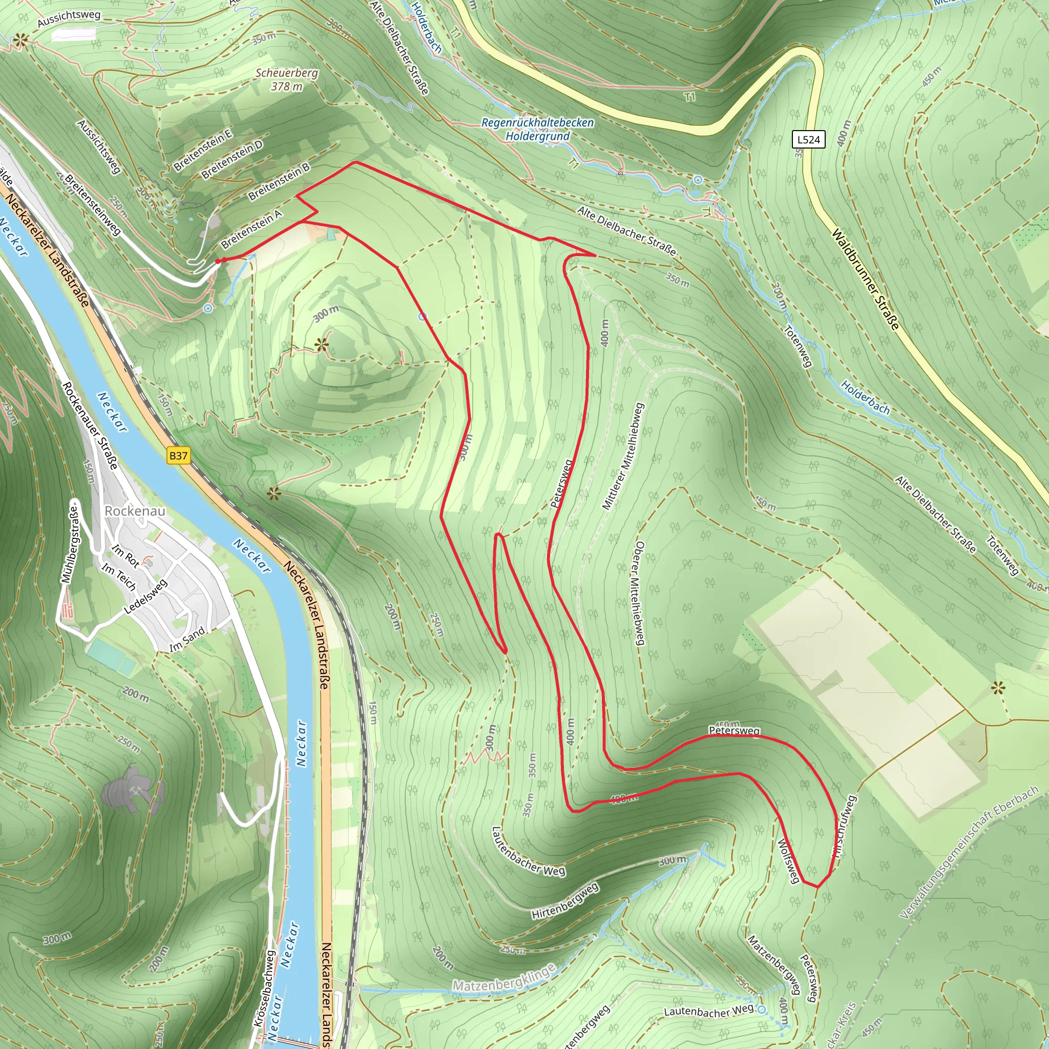
Starting near Rhein-Neckar-Kreis, Germany, the Rundwanderweg Breitenstein and Neckarsteig is an 8 km (5 miles) loop trail with an elevation gain of approximately 300 meters (984 feet). This medium-difficulty hike offers a blend of natural beauty, historical landmarks, and diverse wildlife, making it a rewarding experience for outdoor enthusiasts.
Getting There To reach the trailhead, you can either drive or use public transport. If driving, set your GPS to the nearest known address: Bahnhofstraße 1, 69250 Schönau, Germany. There is ample parking available near the trailhead. For those using public transport, take a train to Heidelberg Hauptbahnhof and then a bus to Schönau. The bus stop is conveniently located near the trailhead.
Trail Navigation For navigation, it's highly recommended to use HiiKER, which provides detailed maps and real-time updates to ensure you stay on track.
Trail Highlights
#### Breitenstein The trail begins with a gentle ascent through dense forests, leading you to the Breitenstein rock formation. This natural landmark offers panoramic views of the surrounding valleys and is an excellent spot for a short break. The climb to Breitenstein covers approximately 2 km (1.2 miles) with an elevation gain of about 150 meters (492 feet).
#### Neckarsteig Continuing along the trail, you'll merge onto the Neckarsteig, a well-marked path that takes you through a series of picturesque landscapes. This section of the trail is relatively flat, making it a pleasant walk through meadows and woodlands. Keep an eye out for local wildlife such as deer, foxes, and a variety of bird species.
Historical Significance
#### Schönau Abbey Around the 5 km (3.1 miles) mark, you'll come across the ruins of Schönau Abbey, a former Cistercian monastery founded in the 12th century. The abbey played a significant role in the region's religious and cultural history. Take some time to explore the ruins and imagine the lives of the monks who once inhabited this serene location.
#### Medieval Castles As you continue, you'll pass by several medieval castle ruins, each with its own unique story. These castles were once part of the defensive network protecting the Neckar Valley. The most notable among them is the Dilsberg Fortress, which offers a glimpse into the region's feudal past.
Flora and Fauna The trail is rich in biodiversity. In spring and summer, the meadows are adorned with wildflowers, while the forests are home to ancient oak and beech trees. The diverse habitats support a variety of wildlife, including red squirrels, woodpeckers, and even the occasional wild boar.
Final Stretch The last 2 km (1.2 miles) of the trail take you through a series of switchbacks as you descend back to the trailhead. This section can be a bit steep, so take your time and enjoy the final views of the lush landscape.
Preparation Tips - Wear sturdy hiking boots, as the trail can be rocky and uneven in places. - Bring plenty of water and snacks, especially if you plan to explore the historical sites in detail. - Check the weather forecast before heading out, as conditions can change rapidly. - Use HiiKER for real-time navigation and updates.
This trail offers a perfect blend of natural beauty, historical intrigue, and moderate physical challenge, making it an ideal choice for a day hike.
Comments and Reviews
User comments, reviews and discussions about the Rundwanderweg Breitenstein and Neckarsteig, Germany.
4.0
average rating out of 5
1 rating(s)
