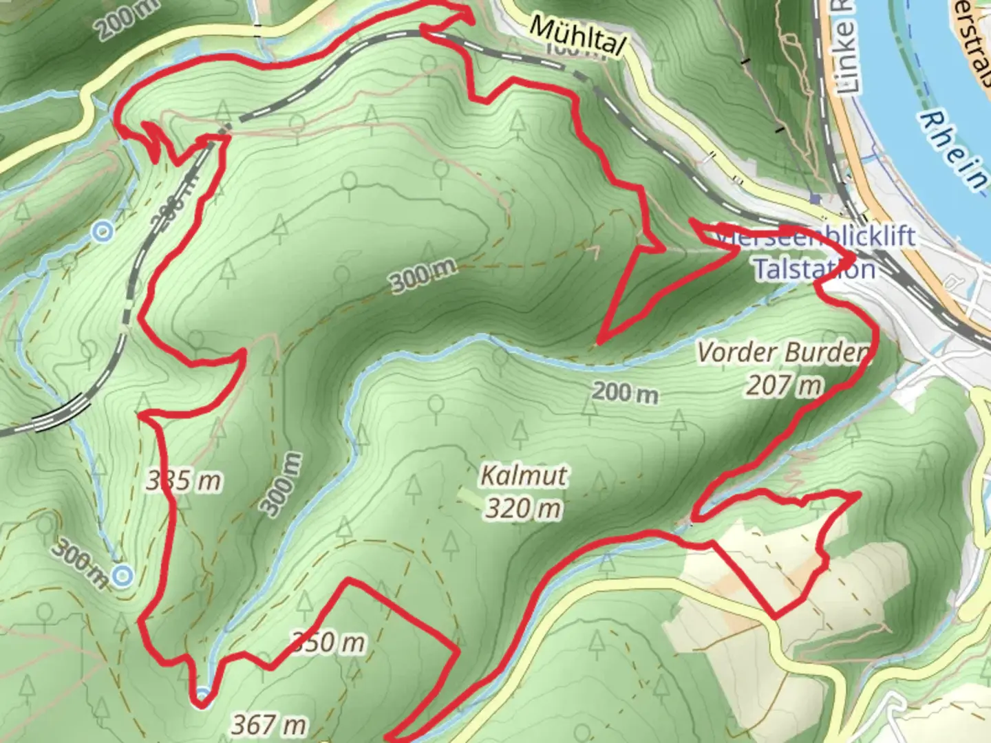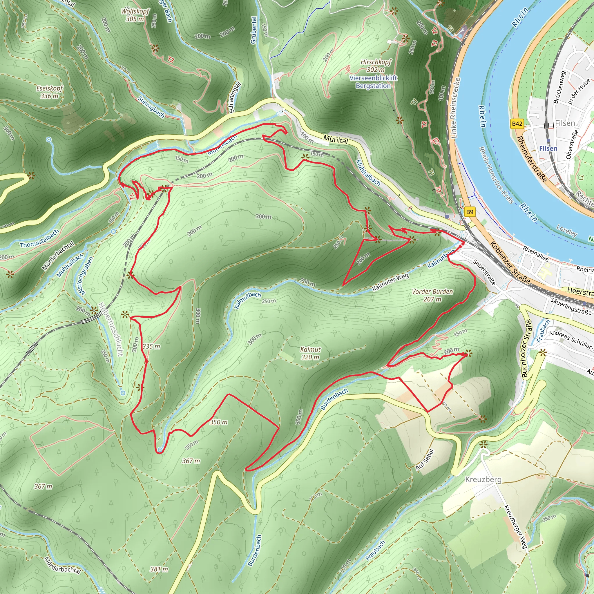
Sabelskoepfchen, Hubertusviadukt and Kurt Alich Blick via Traumschleife Elfenlay
Download
Preview
Add to list
More
10.8 km
~3 hrs 11 min
626 m
Loop
“Explore dense forests, historic viaducts, and stunning viewpoints on this 11 km moderate loop trail in Rhein-Hunsrück-Kreis.”
Starting near Rhein-Hunsrück-Kreis, Germany, this 11 km (approximately 6.8 miles) loop trail offers a medium difficulty hike with an elevation gain of around 600 meters (approximately 1,970 feet). The trailhead is easily accessible by car, with parking available nearby. For those using public transport, the nearest significant landmark is the town of Boppard, which is well-connected by train. From Boppard, you can take a local bus or taxi to reach the trailhead.
Trail Overview
The trail begins with a gentle ascent through dense forest, providing a serene and shaded start to your hike. As you progress, the path becomes steeper, leading you to the first significant landmark, the Sabelskoepfchen. This vantage point offers panoramic views of the surrounding Hunsrück region, making it a perfect spot for a short break and some photography.
Hubertusviadukt
Approximately 4 km (2.5 miles) into the hike, you'll encounter the Hubertusviadukt, an impressive railway viaduct that dates back to the early 20th century. This architectural marvel is a testament to the engineering prowess of the era and adds a historical dimension to your hike. The viaduct spans a deep gorge, and the trail crosses it, offering breathtaking views down into the valley below.
Kurt Alich Blick
Continuing on, the trail leads you to the Kurt Alich Blick, another stunning viewpoint named after a local hiking enthusiast. This spot provides sweeping views of the Rhine Valley and the surrounding hills. It's an ideal location to pause and take in the natural beauty of the area.
Flora and Fauna
The trail is rich in biodiversity, with a variety of flora and fauna to observe. In the spring and summer months, the forest floor is carpeted with wildflowers, and you may spot deer, foxes, and a variety of bird species. The dense forest also provides a habitat for smaller mammals and numerous insects, making it a vibrant ecosystem.
Navigation and Safety
Given the trail's moderate difficulty, it's advisable to use a reliable navigation tool like HiiKER to ensure you stay on the correct path. The trail is well-marked, but having a digital map can be reassuring, especially in the denser forest sections where visibility might be limited.
Final Stretch
The final stretch of the trail descends gradually back towards the trailhead, passing through open meadows and offering more expansive views of the Hunsrück region. This section is less strenuous, allowing you to enjoy the scenery and reflect on the diverse landscapes you've traversed.
Getting There
To reach the trailhead by car, set your GPS to the nearest significant landmark, which is the town of Boppard. From Boppard, follow local signage to the trailhead near Rhein-Hunsrück-Kreis. If using public transport, take a train to Boppard and then a local bus or taxi to the trailhead. The area is well-served by public transport, making it accessible for hikers without a car.
This trail offers a blend of natural beauty, historical landmarks, and diverse wildlife, making it a rewarding hike for those prepared for a moderate challenge.
What to expect?
Activity types
Comments and Reviews
User comments, reviews and discussions about the Sabelskoepfchen, Hubertusviadukt and Kurt Alich Blick via Traumschleife Elfenlay, Germany.
4.29
average rating out of 5
7 rating(s)
