Download
Preview
Add to list
More
2.6 km
~48 min
177 m
Loop
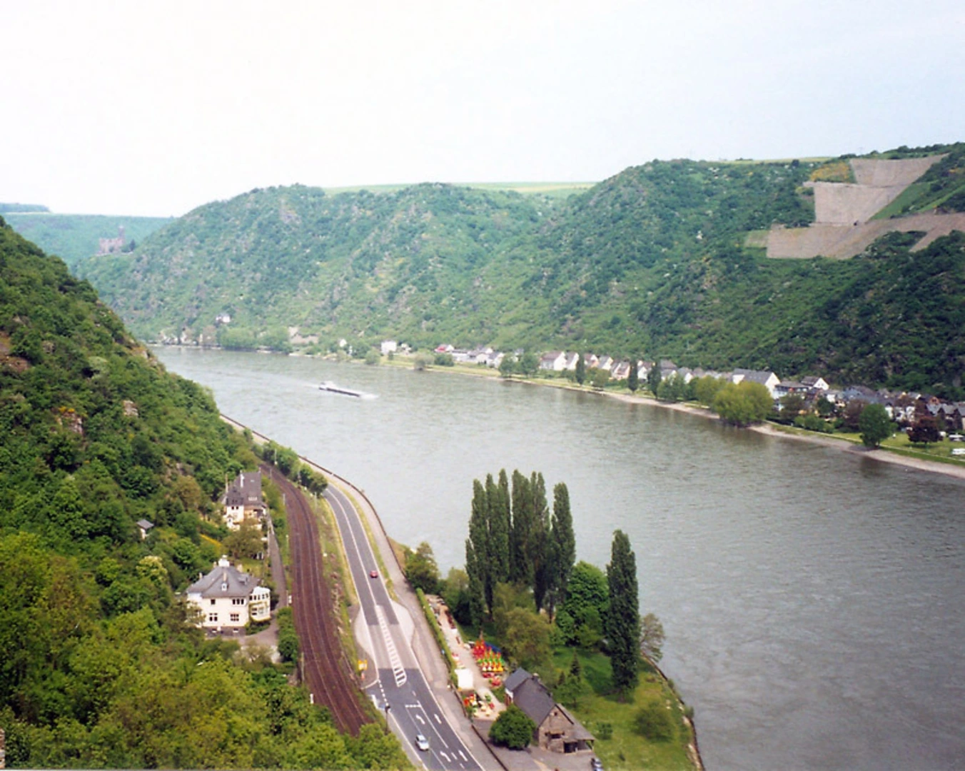
“Explore lush forests, historical ruins, and vibrant flora on this moderately challenging 3 km loop trail.”
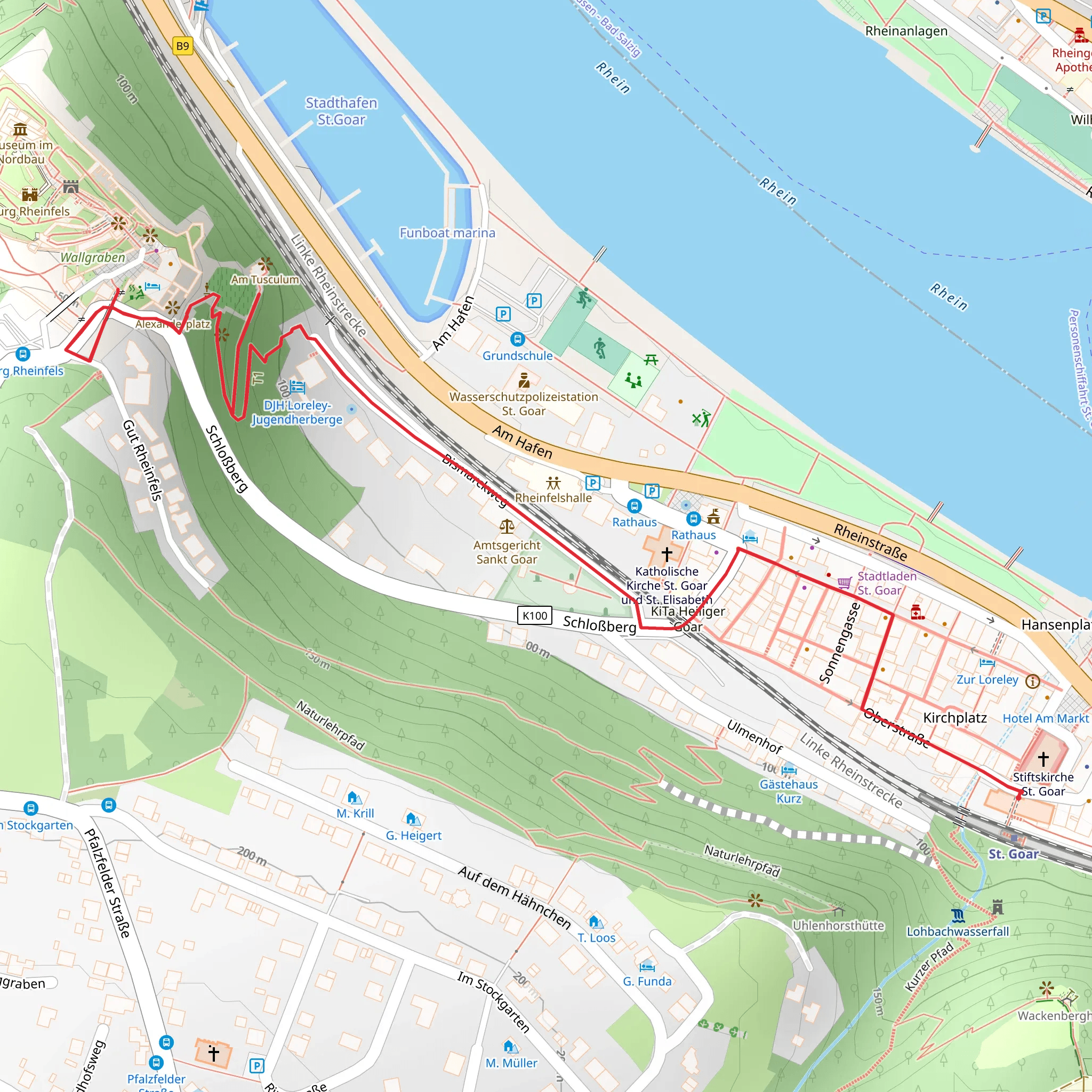
Starting near Rhein-Hunsrück-Kreis, Germany, this 3 km (1.86 miles) loop trail offers a moderate challenge with an elevation gain of around 100 meters (328 feet). The trailhead is conveniently accessible by both public transport and car. If you're driving, you can park near the Rhein-Hunsrück-Kreis area. For those using public transport, the nearest significant landmark is the town of Boppard, which is well-connected by train and bus services.
Trail Overview
The trail begins with a gentle ascent through a lush forest, where you'll be surrounded by a variety of native trees such as oak, beech, and pine. As you make your way up, keep an eye out for local wildlife, including deer, foxes, and a variety of bird species. The first kilometer (0.62 miles) of the trail is relatively easy, with a gradual incline that allows you to warm up and enjoy the serene environment.
Historical Significance
One of the highlights of this trail is its historical significance. The route follows part of the Linksrheinscher Jakobsweg, a historic pilgrimage path that has been used for centuries. As you hike, you'll come across several markers and signs that provide information about the history of the Jakobsweg and its importance to the region. These markers are usually placed at intervals of about 500 meters (0.31 miles), offering a perfect opportunity to take a short break and absorb some local history.
Key Landmarks
At approximately the 1.5 km (0.93 miles) mark, you'll reach the ruins of Am Tusculum, an ancient Roman villa. This site offers a fascinating glimpse into the past, with well-preserved foundations and informative plaques detailing the villa's history and significance. The ruins are situated on a small plateau, providing a perfect spot to rest and take in the panoramic views of the surrounding countryside.
Navigation and Safety
The trail is well-marked, but it's always a good idea to have a reliable navigation tool. HiiKER is an excellent app for this purpose, offering detailed maps and real-time tracking to ensure you stay on course. The trail can be slippery after rain, so make sure to wear appropriate footwear with good grip. Also, be mindful of the local wildlife and respect their habitat by staying on the designated path.
Flora and Fauna
As you continue your hike, you'll notice a diverse range of flora. In spring and summer, the forest floor is carpeted with wildflowers, including bluebells and wood anemones. The trail also passes through several meadows, where you might spot butterflies and other pollinators. In autumn, the forest transforms into a vibrant tapestry of reds, oranges, and yellows, making it a particularly beautiful time to visit.
Final Stretch
The final kilometer (0.62 miles) of the trail descends back towards the starting point. This section is a bit steeper, so take your time and watch your footing. As you near the end, you'll pass through a small grove of ancient oak trees, some of which are over 200 years old. This serene and shaded area provides a peaceful conclusion to your hike.
Whether you're a history buff, a nature enthusiast, or simply looking for a moderate hike with beautiful scenery, this trail offers something for everyone.
What to expect?
Activity types
Comments and Reviews
User comments, reviews and discussions about the Am Tusculum via Linksrheinscher Jakobsweg, Germany.
4.6
average rating out of 5
5 rating(s)

