Download
Preview
Add to list
More
10.6 km
~2 hrs 37 min
305 m
Loop
“Explore the scenic Wennigser Mark - Annaturm Rundweg, a moderately challenging 11 km trail with rich history and stunning views.”
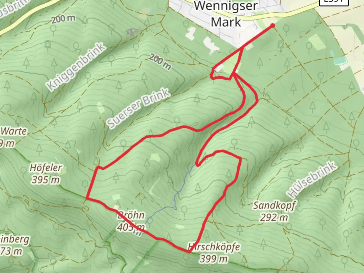
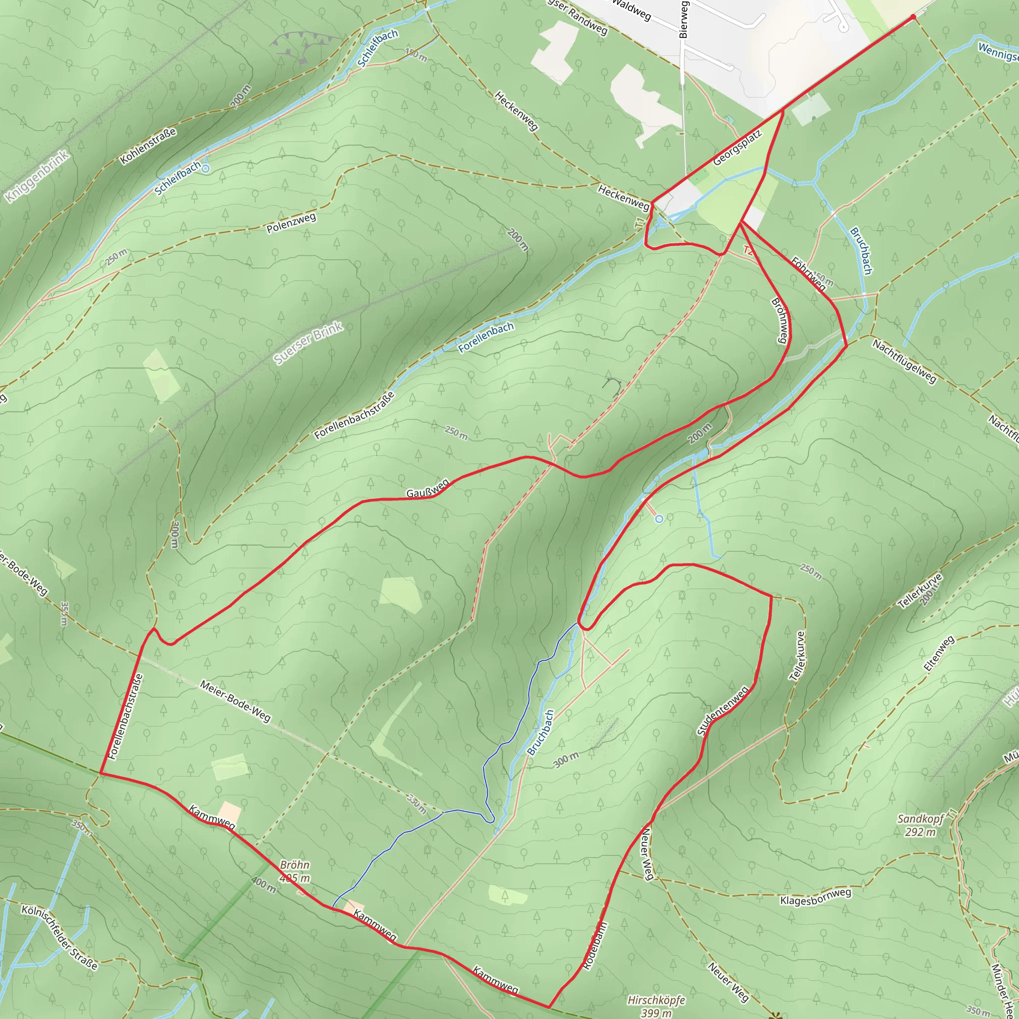
Starting near Region Hannover, Germany, the Wennigser Mark - Annaturm Rundweg is a scenic loop trail that spans approximately 11 kilometers (around 6.8 miles) with an elevation gain of about 300 meters (approximately 984 feet). This trail is rated as medium difficulty, making it suitable for moderately experienced hikers.### Getting There To reach the trailhead, you can either drive or use public transportation. If driving, set your GPS to Wennigser Mark, a small village in the Hanover region. There is ample parking available near the trailhead. For those using public transport, take a train to Wennigsen (Deister) station. From there, it's a short bus ride to Wennigser Mark, or you can opt for a pleasant 2-kilometer (1.2-mile) walk to the starting point.### Trail Navigation For navigation, it's highly recommended to use the HiiKER app, which provides detailed maps and real-time updates. The trail is well-marked, but having a reliable navigation tool will enhance your hiking experience.### Trail Highlights The trail begins in the charming village of Wennigser Mark and quickly immerses you in the lush forests of the Deister hills. As you ascend, you'll encounter a mix of deciduous and coniferous trees, providing a rich tapestry of colors, especially in autumn.#### Annaturm One of the most significant landmarks on this trail is the Annaturm, a historic observation tower located roughly halfway through the loop. The tower stands at an elevation of about 405 meters (1,329 feet) above sea level. Climbing to the top of Annaturm offers panoramic views of the surrounding Deister hills and the Hanover region. The tower also has a small café where you can take a break and enjoy some refreshments.### Flora and Fauna The Deister hills are home to a variety of wildlife, including deer, foxes, and numerous bird species. Keep an eye out for the European green woodpecker and the Eurasian jay, both of which are commonly seen in this area. The forest floor is often carpeted with wildflowers in the spring, adding a splash of color to your hike.### Historical Significance The Deister hills have a rich history, dating back to medieval times when the area was used for mining and forestry. Remnants of old mining operations can still be seen along the trail, adding a historical dimension to your hike. The Annaturm itself was built in the late 19th century and has served as a popular lookout point ever since.### Trail Conditions and Safety The trail is generally well-maintained, but it can get muddy and slippery after rain, so sturdy hiking boots are recommended. There are a few steep sections, particularly as you approach the Annaturm, but these are manageable with moderate fitness levels. Always carry enough water and some snacks, as there are limited facilities along the trail apart from the café at Annaturm.### Final Stretch The return leg of the loop takes you through more dense forest and eventually back to the village of Wennigser Mark. This section is less steep and offers a gentle descent, allowing you to enjoy the serene environment as you make your way back to the trailhead.This trail offers a perfect blend of natural beauty, historical landmarks, and moderate physical challenge, making it a rewarding experience for any hiker.
Comments and Reviews
User comments, reviews and discussions about the Wennigser Mark - Annaturm Rundweg, Germany.
4.5
average rating out of 5
4 rating(s)
