Download
Preview
Add to list
More
6.9 km
~2 hrs 6 min
440 m
Loop
“Immerse yourself in the natural splendor and historical charm of Rastatt on this 7 km scenic loop.”
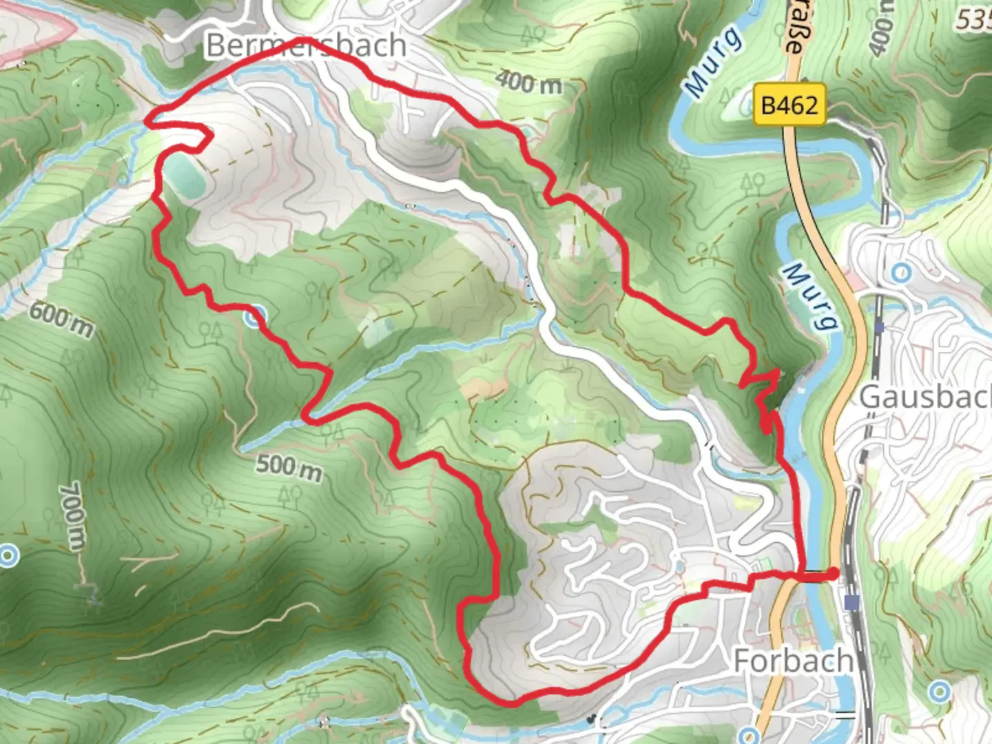
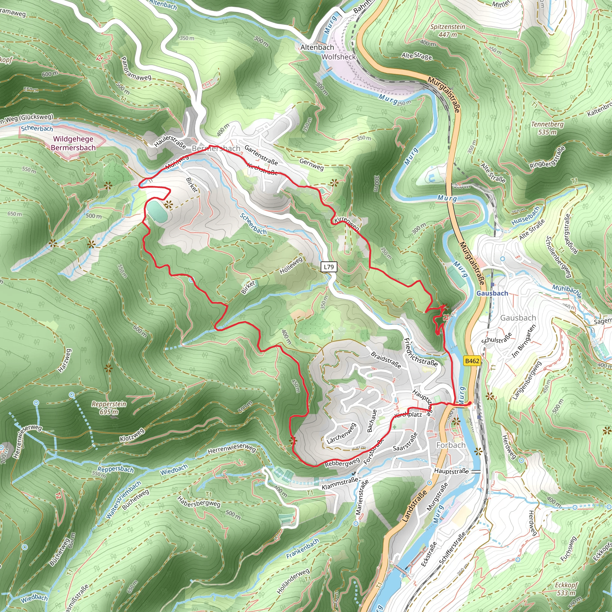
Starting near the picturesque town of Rastatt, Germany, the Heimatweg and Birket-Kirren Rundweg is a delightful 7 km (4.35 miles) loop trail that offers a moderate challenge with an elevation gain of around 400 meters (1,312 feet). This trail is perfect for those looking to immerse themselves in the natural beauty and historical richness of the region.
Getting There To reach the trailhead, you can either drive or use public transport. If driving, set your GPS to Rastatt, and you will find ample parking near the starting point. For those using public transport, take a train to Rastatt Bahnhof. From there, local buses or a short taxi ride will get you to the trailhead.
Trail Overview The Heimatweg and Birket-Kirren Rundweg is a loop trail, meaning you'll start and finish at the same point, making logistics simpler. The trail is well-marked, but it's always a good idea to have a reliable navigation tool like HiiKER to ensure you stay on track.
Key Landmarks and Points of Interest As you begin your hike, you'll quickly find yourself surrounded by lush forests and rolling hills. The trail meanders through a variety of landscapes, including dense woodlands and open meadows, offering a diverse hiking experience.
#### Historical Significance One of the highlights of this trail is its historical significance. Rastatt itself is known for its Baroque architecture and historical landmarks. As you hike, you'll come across several markers and plaques that provide insights into the region's past. Keep an eye out for remnants of old fortifications and ancient pathways that have been used for centuries.
#### Flora and Fauna The trail is a haven for nature enthusiasts. Depending on the season, you might encounter a variety of wildlife, including deer, foxes, and a plethora of bird species. The flora is equally impressive, with wildflowers blooming in the spring and summer, and a stunning display of autumn colors in the fall.
Trail Sections #### Initial Ascent The first part of the trail involves a steady ascent, gaining approximately 200 meters (656 feet) in elevation over the first 2 km (1.24 miles). This section can be a bit challenging, but the well-maintained path and the surrounding natural beauty make it worthwhile.
#### Mid-Trail Plateau After the initial climb, the trail levels out, offering a more relaxed hike for the next 3 km (1.86 miles). This section takes you through serene forests and past several small streams. It's a great place to take a break and enjoy a picnic.
#### Final Descent The last part of the trail involves a descent back to the starting point, losing the remaining 200 meters (656 feet) in elevation over the final 2 km (1.24 miles). This section offers stunning views of the surrounding countryside and is a perfect way to end your hike.
Practical Tips - **Footwear:** Given the elevation gain and varied terrain, sturdy hiking boots are recommended. - **Weather:** Check the weather forecast before you go. The trail can be slippery after rain. - **Water and Snacks:** Bring enough water and snacks, especially if you plan to take breaks along the way. - **Navigation:** Use HiiKER to keep track of your progress and ensure you stay on the correct path.
This trail offers a perfect blend of natural beauty, historical intrigue, and moderate physical challenge, making it a must-visit for any hiking enthusiast.
Comments and Reviews
User comments, reviews and discussions about the Heimatweg and Birket-Kirren Rundweg, Germany.
4.25
average rating out of 5
4 rating(s)
