Download
Preview
Add to list
More
13.5 km
~2 hrs 53 min
118 m
Point-to-Point
“A scenic 14 km trail blending serene lake views, rich history, and moderate hiking from Griebnitzsee to Krunghorn.”
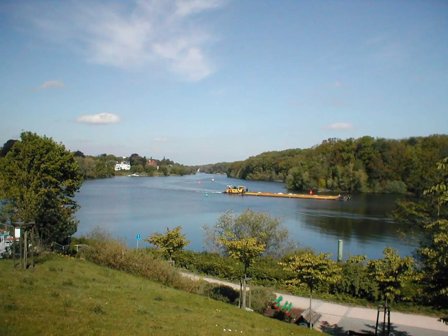
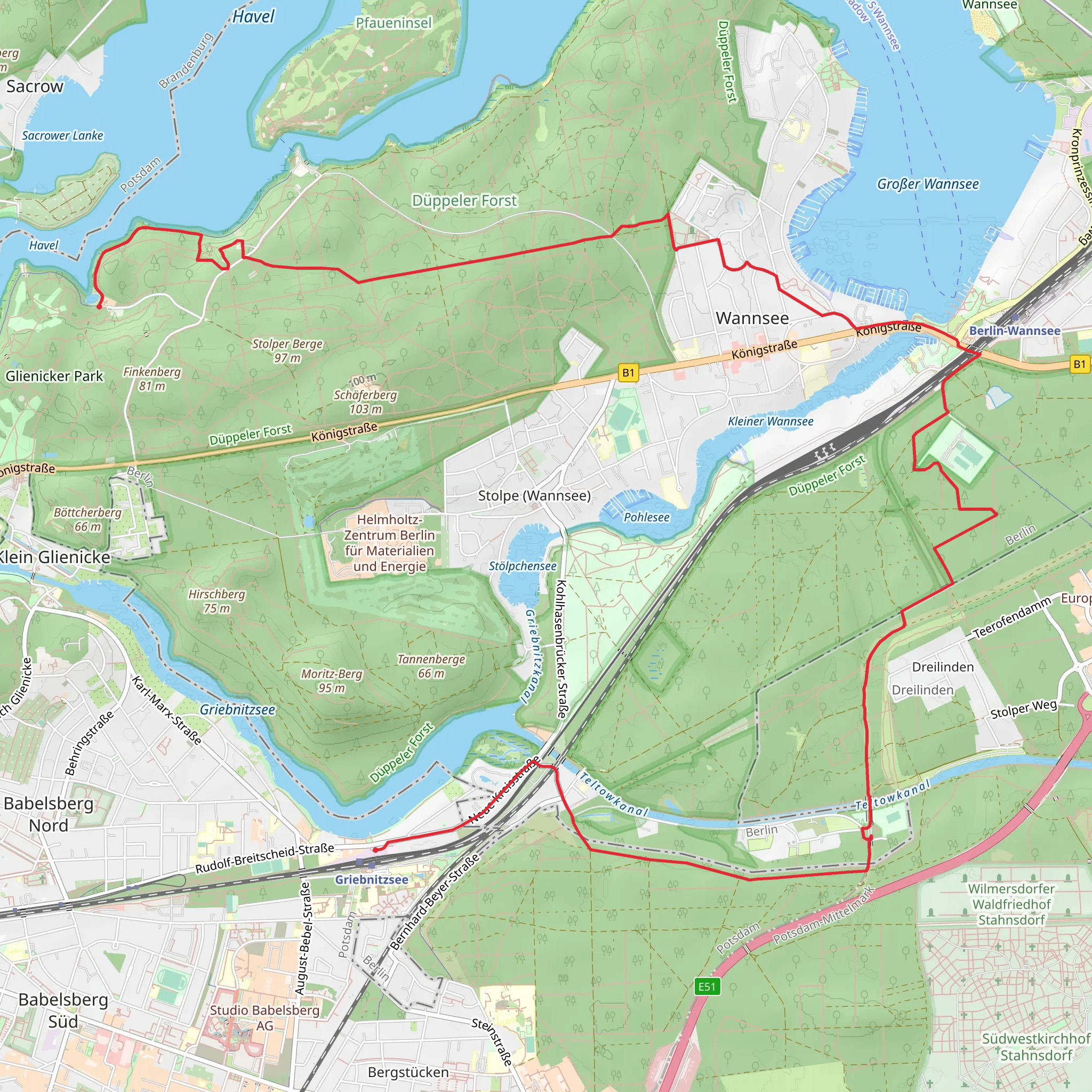
Starting near Potsdam, Germany, the trail from Griebnitzsee to Krunghorn via Waldweg Dreilinden is a delightful 14 km (approximately 8.7 miles) journey with an elevation gain of around 100 meters (328 feet). This point-to-point trail is estimated to be of medium difficulty, making it suitable for moderately experienced hikers.### Getting There To reach the trailhead, you can take public transport or drive. If you're using public transport, the nearest significant landmark is the Griebnitzsee S-Bahn station, which is well-connected to Berlin and Potsdam. From Berlin, you can take the S7 line directly to Griebnitzsee. If you're driving, you can park near the Griebnitzsee S-Bahn station, where there are several parking options available.### Trail Overview The trail begins near the Griebnitzsee S-Bahn station, a picturesque area known for its serene lake views. As you start your hike, you'll follow the path along the lake, offering beautiful vistas and opportunities to spot local wildlife such as swans, ducks, and various bird species.### Historical Significance This region is steeped in history. During the Cold War, the Griebnitzsee area was part of the border between East and West Germany. As you hike, you'll come across remnants of this period, including old watchtowers and sections of the Berlin Wall. These historical landmarks provide a poignant reminder of the area's past and offer a unique perspective on Germany's history.### Key Landmarks and Nature Around the 5 km (3.1 miles) mark, you'll reach the Waldweg Dreilinden, a forest path that takes you through lush woodlands. This section of the trail is particularly scenic, with tall trees providing ample shade and a variety of flora and fauna to observe. Keep an eye out for deer and other woodland creatures that inhabit this area.As you continue, the trail gradually ascends, leading you to the Krunghorn. This section involves an elevation gain of about 100 meters (328 feet), but the climb is steady and manageable. The Krunghorn offers panoramic views of the surrounding landscape, making it a perfect spot for a rest and some photography.### Navigation and Safety For navigation, it's highly recommended to use HiiKER, which provides detailed maps and real-time updates. The trail is well-marked, but having a reliable navigation tool will ensure you stay on track and can enjoy your hike without any worries.### Final Stretch The final stretch of the trail takes you through more forested areas before reaching the endpoint near Krunghorn. This part of the hike is relatively flat and offers a peaceful conclusion to your journey. ### Wildlife and Flora Throughout the hike, you'll encounter a variety of plant species, including oak, beech, and pine trees. The diverse ecosystem supports a range of wildlife, so be sure to bring your binoculars if you're a bird-watching enthusiast.This trail offers a mix of natural beauty, historical significance, and moderate physical challenge, making it a rewarding experience for those looking to explore the scenic and historical landscapes near Potsdam.
What to expect?
Activity types
Comments and Reviews
User comments, reviews and discussions about the Griebnitzsee to Krunghorn via Waldweg Dreilinden, Germany.
4.8
average rating out of 5
5 rating(s)

