Download
Preview
Add to list
More
9.0 km
~2 hrs 5 min
165 m
Loop
“Immerse yourself in northern Germany's serene beauty on the 9 km Seekamp Route with lush forests and historic landmarks.”
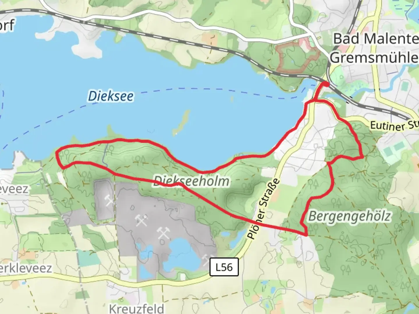
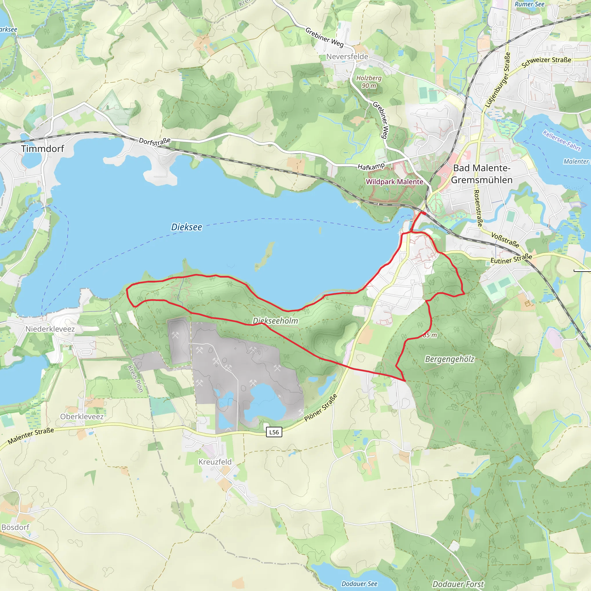
Starting near the picturesque region of Ostholstein, Germany, the Vierthweg and Seekamp Route is a delightful 9 km (approximately 5.6 miles) loop trail that offers a moderate challenge with an elevation gain of around 100 meters (328 feet). This trail is perfect for those looking to immerse themselves in the serene beauty of northern Germany's countryside.
Getting There
To reach the trailhead, you can drive or use public transport. If driving, set your GPS to Seekamp, 23701 Eutin, Germany, which is the nearest significant landmark. For those using public transport, take a train to Eutin station. From there, you can catch a local bus or taxi to Seekamp, which is about 5 km (3.1 miles) away.
Trail Navigation
For navigation, it is highly recommended to use the HiiKER app, which provides detailed maps and real-time updates to ensure you stay on track.
Trail Highlights
#### Nature and Wildlife
As you embark on the trail, you'll be greeted by lush forests and open meadows. The area is rich in biodiversity, so keep an eye out for local wildlife such as deer, foxes, and a variety of bird species. The trail meanders through dense woodlands where the canopy provides a cool, shaded environment, perfect for a leisurely hike.
#### Significant Landmarks
Around the 3 km (1.9 miles) mark, you'll come across the historic Seekamp Manor, a charming estate that dates back to the 18th century. This manor is a great spot to take a break and soak in some local history. The architecture and surrounding gardens offer a glimpse into the region's past.
Continuing on, at approximately 5 km (3.1 miles), you'll reach the Vierthweg viewpoint. This spot offers panoramic views of the surrounding countryside, making it an ideal location for photography or simply to rest and enjoy the scenery.
Terrain and Elevation
The trail features a mix of terrains, including dirt paths, gravel roads, and some paved sections. The elevation gain is gradual, making it accessible for hikers of varying skill levels. The highest point of the trail is around 100 meters (328 feet) above sea level, providing gentle ascents and descents that are manageable for most hikers.
Preparation and Safety
Given the moderate difficulty rating, it's advisable to wear sturdy hiking boots and bring plenty of water, especially during warmer months. The trail is well-marked, but having the HiiKER app will ensure you stay on the correct path. Weather can be unpredictable, so check the forecast and dress in layers.
Historical Significance
The region of Ostholstein has a rich history, with settlements dating back to the medieval period. The trail itself passes through areas that were once significant trade routes. The Seekamp Manor is a testament to the area's historical importance, having been a focal point for local governance and agriculture.
Final Stretch
As you loop back towards the starting point, the trail takes you through more open fields and past small ponds, offering a tranquil end to your hike. The final 2 km (1.2 miles) are relatively flat, allowing for a relaxed finish.
This trail offers a perfect blend of natural beauty, historical landmarks, and moderate physical challenge, making it a must-visit for any hiking enthusiast exploring northern Germany.
Comments and Reviews
User comments, reviews and discussions about the Vierthweg and Seekamp Route, Germany.
4.0
average rating out of 5
1 rating(s)
