Download
Preview
Add to list
More
12.2 km
~3 hrs 56 min
903 m
Loop
“Explore a captivating 12 km loop in Ostallgäu, Germany, blending natural beauty, history, and diverse wildlife.”
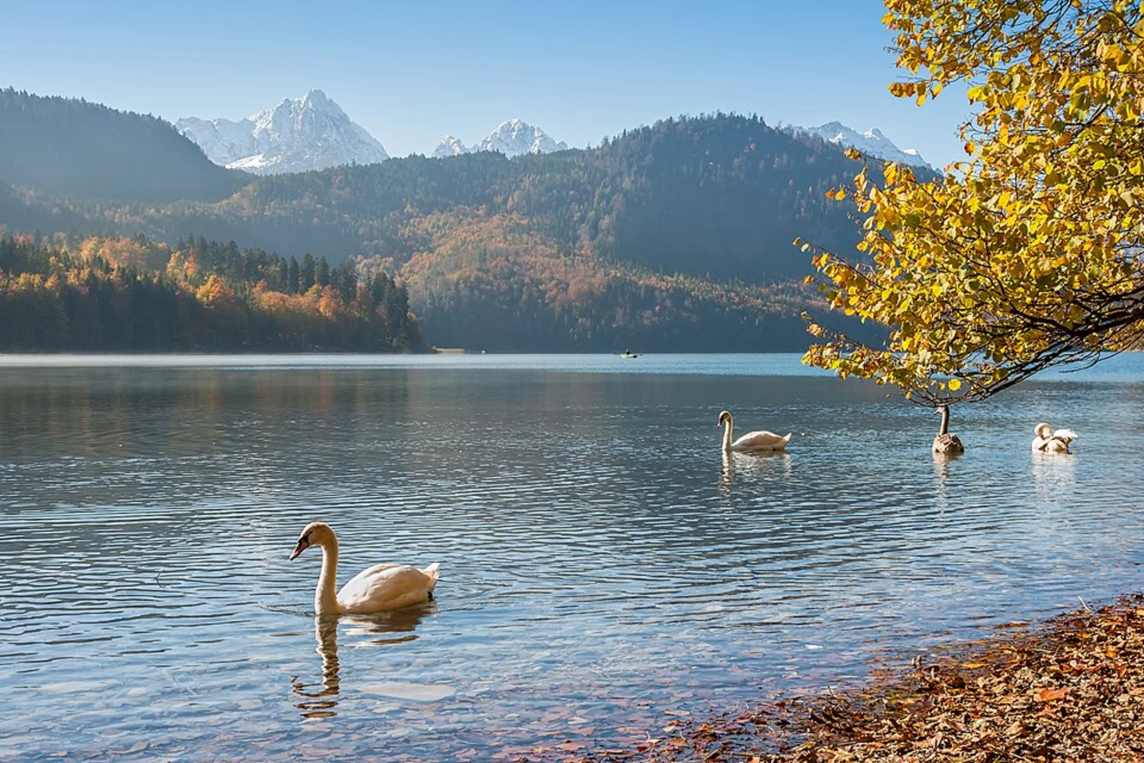
Starting near Ostallgäu, Germany, the Weißensee, Salober, and Alatsee via Maximiliansweg trail is a captivating 12 km (7.5 miles) loop with an elevation gain of approximately 900 meters (2,950 feet). This medium-difficulty trail offers a blend of natural beauty, historical significance, and diverse wildlife, making it a must-visit for avid hikers.### Getting There To reach the trailhead, you can either drive or use public transport. If driving, set your GPS to Ostallgäu, Germany, and look for parking near the Weißensee area. For those using public transport, take a train to Füssen, which is the nearest major town. From Füssen, you can catch a local bus to Weißensee. The bus stop is conveniently located near the trailhead, making it easy to start your hike.### Trail Overview The trail begins near the picturesque Weißensee, a serene lake surrounded by lush forests. As you start your hike, you'll follow the Maximiliansweg, a historic route named after King Maximilian II of Bavaria. This path is well-marked and offers stunning views of the surrounding Allgäu Alps.### Key Landmarks and Sections#### Weißensee to Salober The initial section of the trail takes you along the shores of Weißensee. This part is relatively flat and easy, making it a good warm-up. After about 2 km (1.2 miles), you'll start ascending towards Salober. The climb is gradual but steady, gaining around 300 meters (985 feet) in elevation over the next 3 km (1.9 miles). Keep an eye out for local wildlife such as deer and various bird species.#### Salober to Alatsee Upon reaching Salober, you'll be rewarded with panoramic views of the surrounding mountains and valleys. This is a great spot to take a break and enjoy the scenery. From Salober, the trail descends slightly before climbing again towards Alatsee. This section is more challenging, with steeper inclines and rocky terrain. The elevation gain here is about 400 meters (1,310 feet) over 4 km (2.5 miles).#### Alatsee and Return Alatsee is another beautiful lake, known for its unique red algae that give the water a reddish tint during certain times of the year. The area around Alatsee is rich in history, with remnants of World War II bunkers and stories of hidden treasures. After exploring Alatsee, the trail loops back towards Weißensee. The final 3 km (1.9 miles) are mostly downhill, making for a pleasant and relaxing end to your hike.### Navigation and Safety For navigation, it's highly recommended to use HiiKER, which provides detailed maps and real-time updates. The trail is well-marked, but having a reliable navigation tool ensures you stay on the right path. ### Flora and Fauna The trail traverses diverse ecosystems, from lakeside forests to alpine meadows. You'll encounter a variety of plant species, including wildflowers and ancient trees. Wildlife is abundant, so keep your camera ready for potential sightings of deer, foxes, and a variety of birds.### Historical Significance The Maximiliansweg is steeped in history, named after King Maximilian II, who was known for his love of nature and hiking. The trail also passes near historical sites from World War II, adding a layer of intrigue to your journey.This 12 km loop offers a perfect blend of natural beauty, historical significance, and moderate challenge, making it an ideal choice for hikers looking to explore the stunning landscapes of Ostallgäu, Germany.

What to expect?
Activity types
Comments and Reviews
User comments, reviews and discussions about the Weißensee, Salober and Alatsee via Maximiliansweg, Germany.
4.8
average rating out of 5
5 rating(s)