Download
Preview
Add to list
More
12.1 km
~3 hrs 23 min
581 m
Loop
“Discover diverse ecosystems, historical sites, and panoramic views on this 12 km loop near Aalen, Germany.”
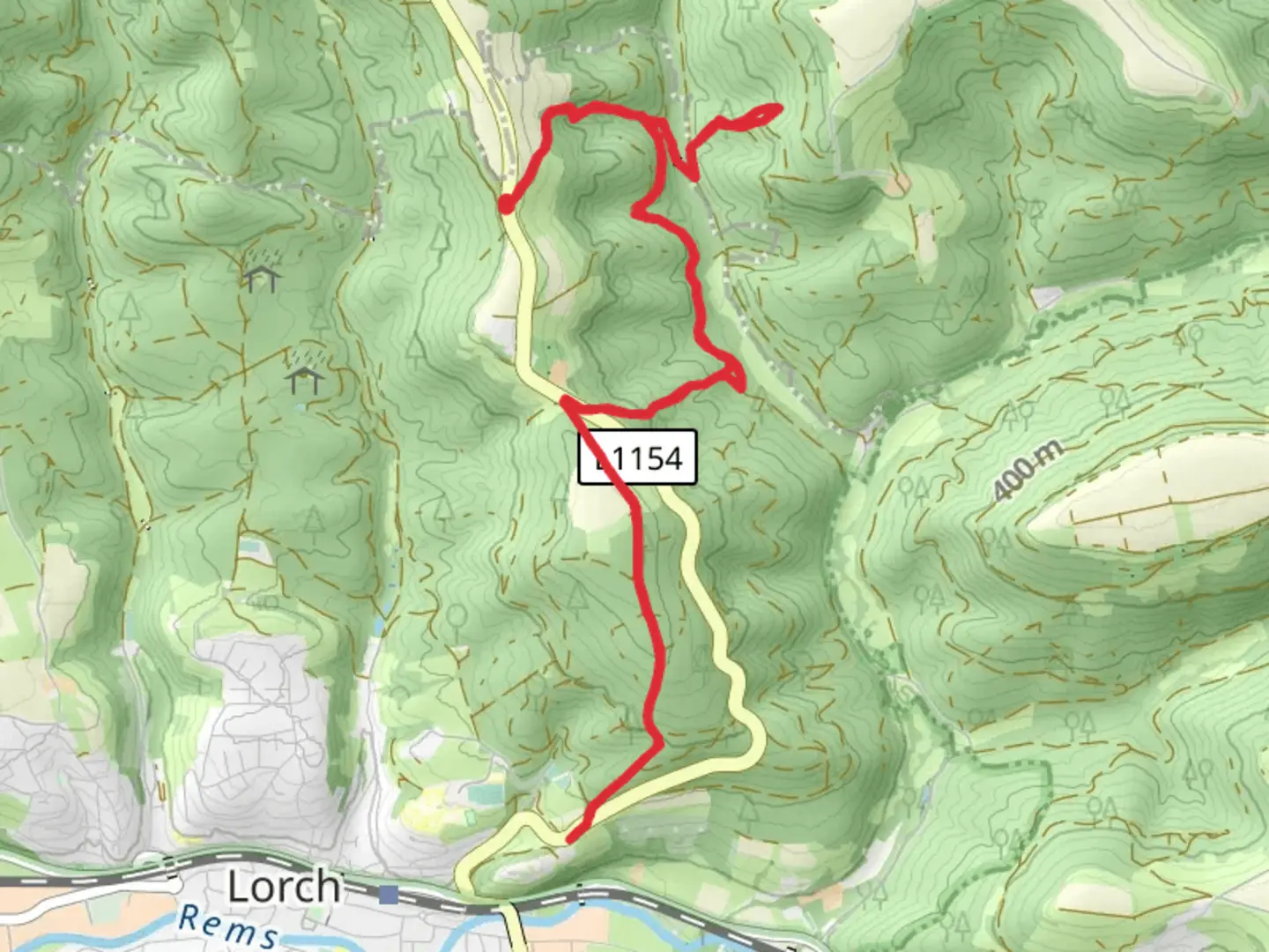
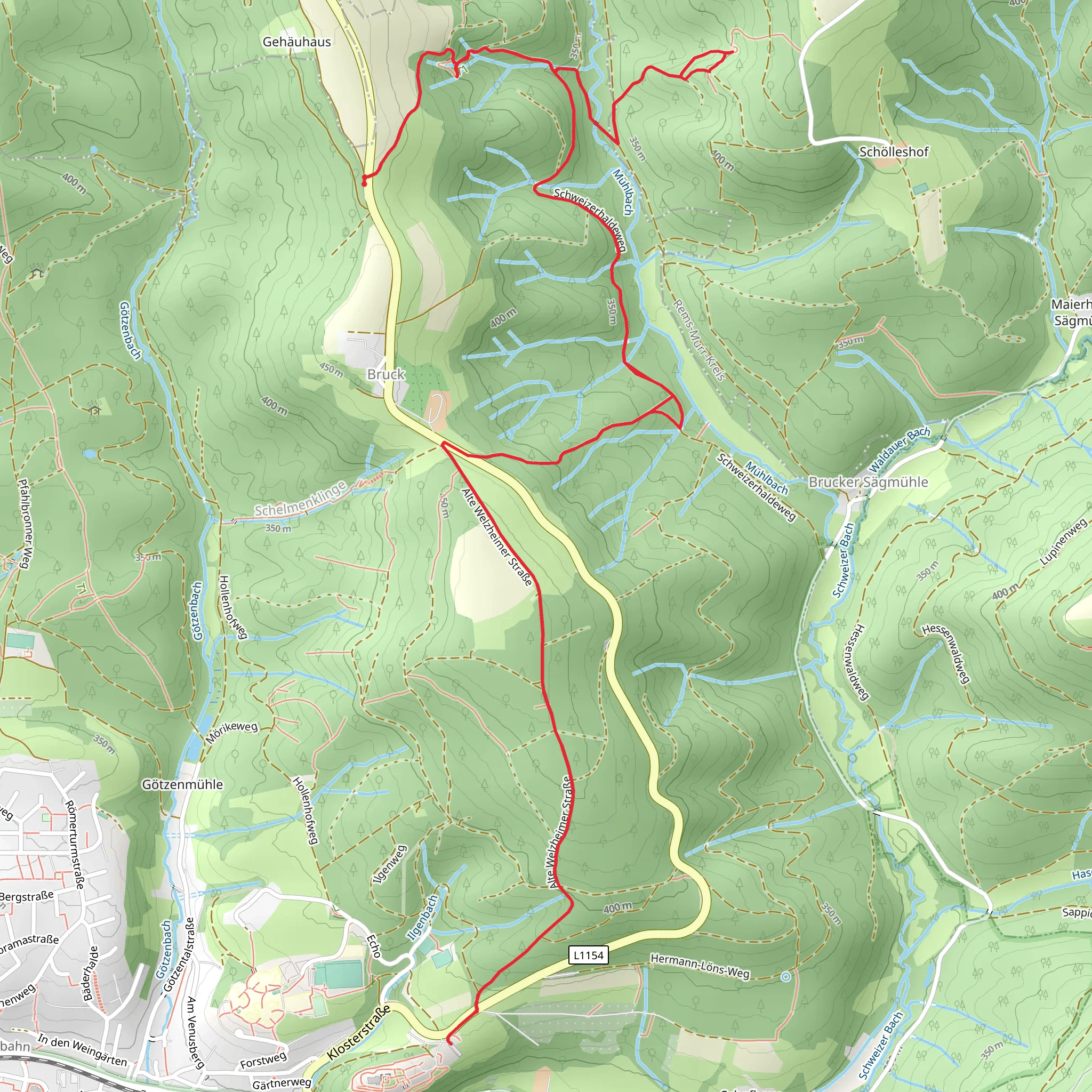
Starting near Ostalbkreis, Germany, this 12 km (7.5 miles) loop trail offers a moderate challenge with an elevation gain of around 500 meters (1,640 feet). The trailhead is conveniently accessible by car or public transport. If you're driving, you can park near the town of Aalen, which is the closest significant landmark. For those using public transport, Aalen is well-connected by train, and from there, local buses can take you closer to the trailhead.
Initial Ascent and Schillergrotte
The trail begins with a gradual ascent through dense forest, providing a serene start to your hike. After approximately 3 km (1.9 miles), you'll reach the Schillergrotte, a small but fascinating cave named after the famous German poet Friedrich Schiller. The cave is a great spot to take a short break and explore. The elevation gain to this point is around 150 meters (492 feet).
Hohler Stein and Scenic Views
Continuing on, the trail becomes steeper as you head towards Hohler Stein, a prominent rock formation. This section is about 4 km (2.5 miles) from the Schillergrotte and involves an additional elevation gain of 200 meters (656 feet). The Hohler Stein offers panoramic views of the surrounding Swabian Jura landscape, making it a perfect spot for photography and a well-deserved rest.
Flora and Fauna
As you hike, you'll pass through a variety of ecosystems, from dense deciduous forests to open meadows. Keep an eye out for local wildlife, including deer, foxes, and a variety of bird species. The flora is equally diverse, with wildflowers blooming in the spring and summer months, adding a splash of color to the trail.
Historical Significance
The region around Ostalbkreis is rich in history. The Swabian Jura has been inhabited since prehistoric times, and you may come across ancient ruins and relics along the way. The trail itself passes near several historical sites, including remnants of Roman settlements and medieval fortifications.
Navigation and Safety
Given the moderate difficulty of the trail, it's advisable to use a reliable navigation tool like HiiKER to keep track of your progress and ensure you stay on the correct path. The trail is well-marked, but having a digital map can be very helpful, especially in the denser forest sections.
Return Loop
The return loop takes you through more open terrain, offering different but equally stunning views. This section is less strenuous, with a gradual descent back to the trailhead. The final 5 km (3.1 miles) of the trail will bring you back to your starting point, completing the loop.
Getting There
To reach the trailhead, drive or take a train to Aalen. From Aalen, local buses can take you closer to the starting point, or you can opt for a short taxi ride. If driving, parking is available near the trailhead, making it convenient for those who prefer to travel by car.
This trail offers a perfect blend of natural beauty, historical intrigue, and moderate physical challenge, making it a rewarding experience for any hiker.
What to expect?
Activity types
Comments and Reviews
User comments, reviews and discussions about the Schillergrotte and Hohler Stein via Schweizerhaldeweg, Germany.
average rating out of 5
0 rating(s)
