Download
Preview
Add to list
More
8.1 km
~2 hrs 2 min
255 m
Loop
“Explore the scenic beauty and historical intrigue of Ostalbkreis on this rewarding loop hike.”
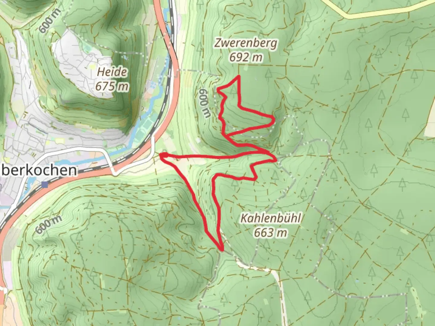
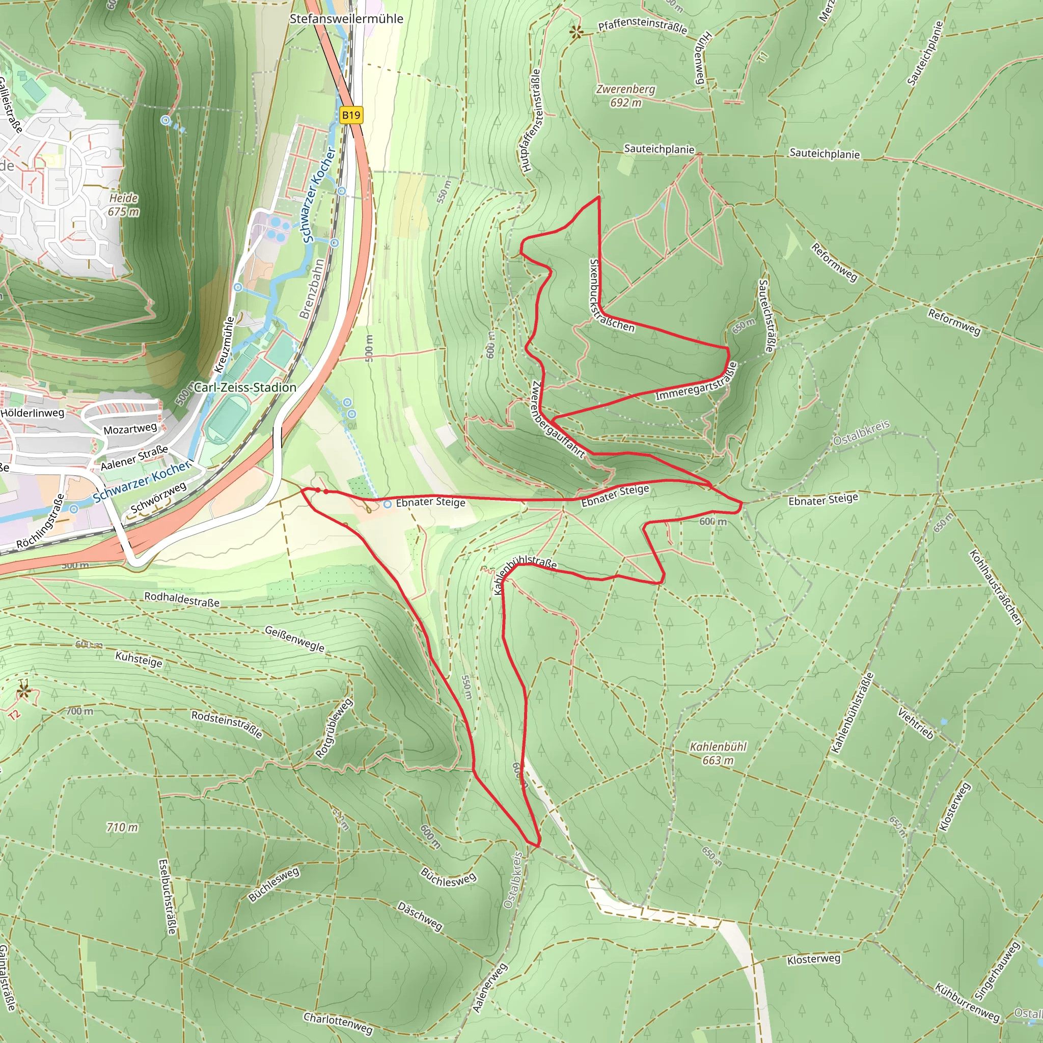
Nestled in the picturesque Ostalbkreis region of Germany, the Querweg Oberkochen-Spitziger Fels and Oberkochen - Ebnat trail offers a delightful loop hike of approximately 8 kilometers (about 5 miles) with an elevation gain of around 200 meters (approximately 656 feet). This medium-difficulty trail is perfect for those looking to explore the natural beauty and historical richness of the area.### Getting ThereTo reach the trailhead, you can drive or use public transportation. If you're driving, head towards the town of Oberkochen in the Ostalbkreis district. Parking is available near the trailhead, which is conveniently located close to the town center. For those using public transport, Oberkochen is accessible via regional trains from major cities like Stuttgart. Once you arrive at the Oberkochen train station, the trailhead is just a short walk away.### Trail HighlightsSpitziger FelsOne of the most striking features of this trail is the Spitziger Fels, a prominent rock formation that offers breathtaking views of the surrounding landscape. As you ascend towards this landmark, you'll gain approximately 100 meters (328 feet) in elevation over the first 2 kilometers (1.2 miles). The effort is well worth it, as the panoramic vistas from the top provide a perfect spot for a rest and photo opportunity.Flora and FaunaThe trail meanders through lush forests and open meadows, offering a diverse range of flora and fauna. Keep an eye out for native wildlife such as deer and various bird species. The forested sections are particularly enchanting, with towering trees providing a canopy of shade and a serene atmosphere.Historical SignificanceThe region around Ostalbkreis is steeped in history, with evidence of human settlement dating back to prehistoric times. As you hike, you'll pass by remnants of ancient fortifications and settlements, offering a glimpse into the area's rich past. The trail itself follows paths that have been used for centuries, adding a layer of historical intrigue to your journey.### Navigation and SafetyWhile the trail is well-marked, it's always a good idea to have a reliable navigation tool. The HiiKER app is an excellent resource for this trail, providing detailed maps and real-time navigation assistance. Ensure you have adequate water and snacks, as there are limited facilities along the route. The trail can be slippery in wet conditions, so sturdy hiking boots are recommended.### Completing the LoopAs you make your way back towards Oberkochen, the trail descends gently, offering a relaxing end to your hike. The final stretch takes you through picturesque meadows and past charming rural landscapes, completing the loop back to the trailhead. This section is approximately 3 kilometers (1.9 miles) and provides a pleasant cooldown after the more challenging ascent earlier in the hike.
Comments and Reviews
User comments, reviews and discussions about the Querweg Oberkochen-Spitziger Fels and Oberkochen - Ebnat, Germany.
4.0
average rating out of 5
1 rating(s)
