Download
Preview
Add to list
More
14.5 km
~4 hrs 1 min
679 m
Point-to-Point
“Starting in Heubach, this 14 km trail blends natural beauty with historical intrigue, perfect for moderate hikers.”
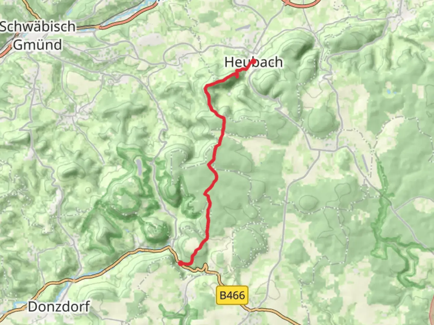
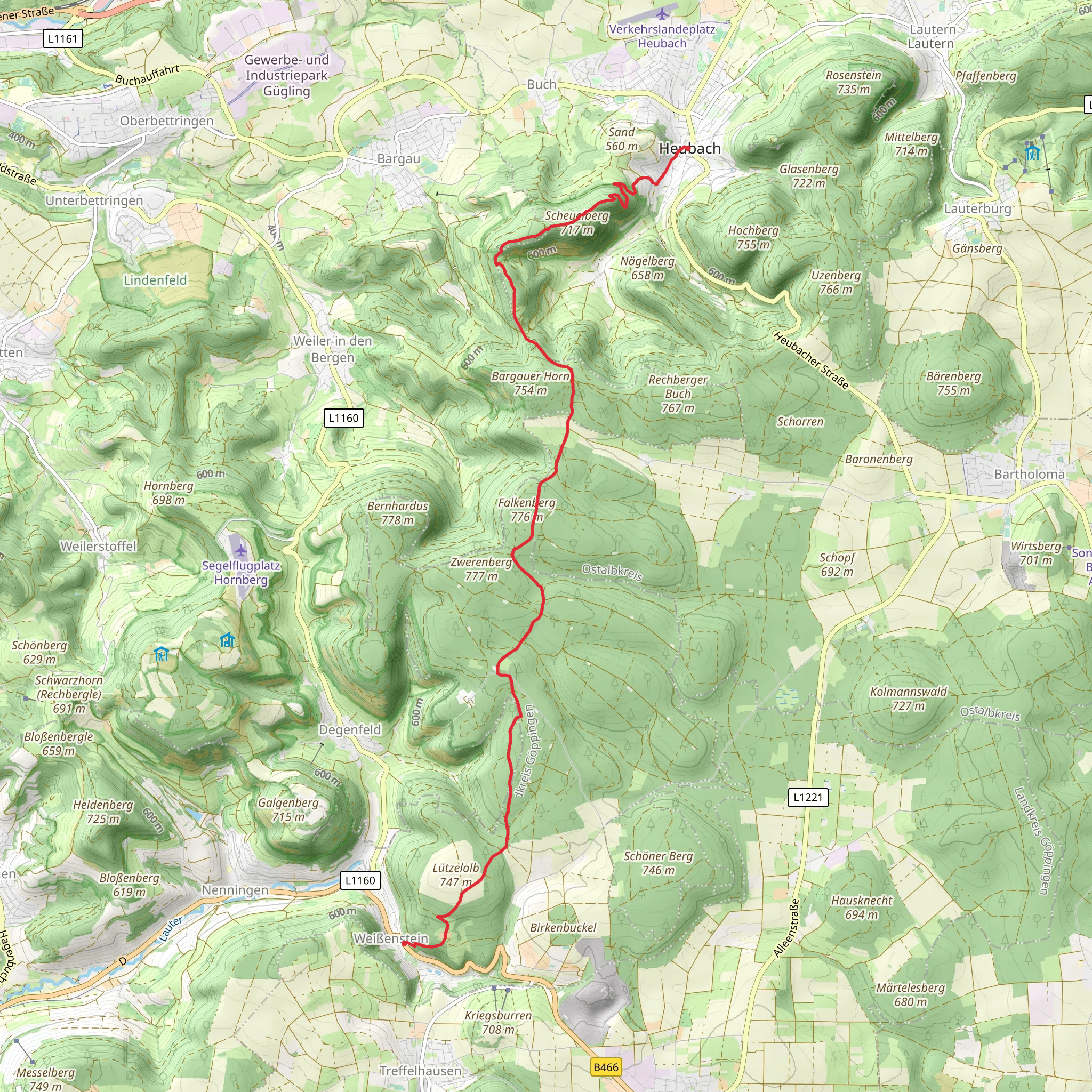
Starting near the picturesque town of Heubach in the Ostalbkreis region of Germany, this 14 km (approximately 8.7 miles) point-to-point trail offers a delightful mix of natural beauty and historical intrigue. With an elevation gain of around 600 meters (about 1,970 feet), the trail is rated as medium difficulty, making it suitable for moderately experienced hikers.
Getting There To reach the trailhead, you can either drive or use public transport. If driving, set your GPS to Heubach, Ostalbkreis, Germany. For those using public transport, take a train to Schwäbisch Gmünd and then a local bus to Heubach. The trailhead is conveniently located near the town center, making it easily accessible.
Trail Overview The journey begins in Heubach, where you will immediately be greeted by the lush greenery of the Swabian Alps. The initial part of the trail is a gentle ascent through dense forests, offering a serene atmosphere and the occasional sighting of local wildlife such as deer and various bird species.
Bargauer Kreuz At around the 5 km (3.1 miles) mark, you will reach Bargauer Kreuz, a significant landmark featuring a large cross and offering panoramic views of the surrounding valleys. This is an excellent spot for a short break and some photography. The elevation gain to this point is approximately 300 meters (984 feet), making it a moderate climb.
Towards Weißenstein Continuing from Bargauer Kreuz, the trail becomes a bit steeper as you head towards Weißenstein. The next 4 km (2.5 miles) involve a mix of forested paths and open meadows, providing a diverse hiking experience. Keep an eye out for wildflowers and small streams that add to the trail's charm.
Historical Significance The region around Weißenstein is rich in history. As you approach the town, you will notice remnants of medieval structures and old farmhouses that tell the story of the area's past. Weißenstein itself is known for its historical buildings and offers a glimpse into traditional German architecture.
Final Stretch The last 5 km (3.1 miles) of the trail are relatively easier, with a gradual descent into Weißenstein. This section is particularly scenic, with expansive views of the Swabian Alps and the distant town of Schwäbisch Gmünd. The total elevation gain for the entire trail is around 600 meters (1,970 feet), making the descent a pleasant way to end your hike.
Navigation and Safety For navigation, it is highly recommended to use the HiiKER app, which provides detailed maps and real-time updates. Ensure you have adequate water, snacks, and appropriate footwear, as the trail can be uneven in places. Always check the weather forecast before setting out, as conditions can change rapidly in the mountains.
This trail offers a perfect blend of natural beauty, moderate physical challenge, and historical exploration, making it a rewarding experience for any hiker.
What to expect?
Activity types
Comments and Reviews
User comments, reviews and discussions about the Heubach to Weißenstein Walk via Bargauer Kreuz, Germany.
4.0
average rating out of 5
1 rating(s)
