Download
Preview
Add to list
More
14.6 km
~4 hrs 2 min
670 m
Loop
“Explore lush forests, historical landmarks, and panoramic views on this moderately challenging 15 km trail near Aalen.”
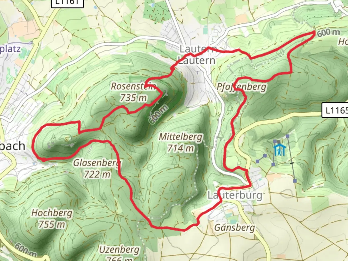
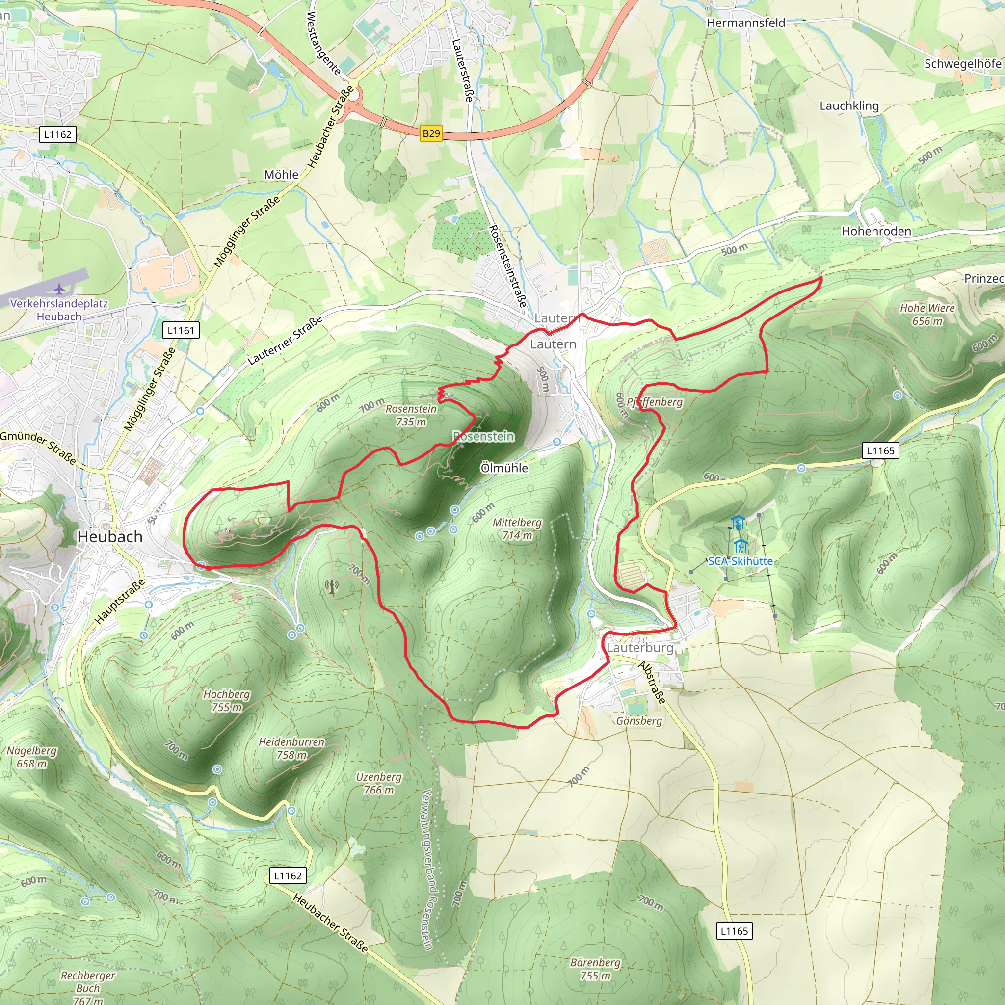
Starting near Ostalbkreis, Germany, this 15 km (approximately 9.3 miles) loop trail offers a moderate challenge with an elevation gain of around 600 meters (about 1,970 feet). The trailhead is conveniently accessible by both car and public transport. If you're driving, you can park near the town of Aalen, which is well-signposted and offers ample parking facilities. For those using public transport, Aalen is well-connected by train, and from there, local buses can take you close to the trailhead.### Trail Navigation and Initial AscentThe trail begins with a gentle ascent through lush forests, where the path is well-marked and easy to follow. Using HiiKER for navigation can be particularly helpful here, as the initial 3 km (1.9 miles) involve several intersecting paths. The first significant climb will take you up to an elevation of about 400 meters (1,312 feet), offering a good warm-up for the more strenuous sections ahead.### Historical Significance and LandmarksAs you continue, you'll come across several historical landmarks. One of the most notable is the remnants of ancient Roman fortifications, which are scattered along the trail. These ruins date back to the Roman Empire's expansion into Germania and offer a fascinating glimpse into the past. At around the 5 km (3.1 miles) mark, you'll encounter a small chapel known as the Glaubenskapelle. This chapel has been a site of pilgrimage for centuries and is a peaceful spot to take a break.### Flora and FaunaThe trail is rich in biodiversity. As you hike through the mixed deciduous and coniferous forests, keep an eye out for native wildlife such as deer, foxes, and a variety of bird species. The flora is equally diverse, with wildflowers like the Wanderblume (wandering flower) blooming in the spring and summer months. These flowers are unique to the region and add a splash of color to the landscape.### Midpoint and Scenic ViewsAround the 8 km (5 miles) mark, you'll reach the highest point of the trail at approximately 600 meters (1,970 feet). Here, the forest opens up to offer panoramic views of the Ostalbkreis region. This is an excellent spot for photography and a well-deserved rest. The descent from this point is gradual, allowing you to enjoy the scenery without too much strain.### Final Stretch and ReturnThe last 4 km (2.5 miles) of the trail loop back towards the starting point. This section is relatively flat and takes you through open meadows and small villages. The path is well-maintained and easy to navigate, making for a pleasant end to your hike. As you approach the trailhead, you'll pass by several traditional German houses and farms, offering a glimpse into rural life in the region.### Practical Tips- Water and Snacks: There are no facilities along the trail, so bring enough water and snacks to last the entire hike. - Footwear: Sturdy hiking boots are recommended due to the varied terrain. - Weather: Check the weather forecast before you go, as conditions can change rapidly in this region. - Navigation: Use HiiKER to stay on track, especially in the forested sections where paths can be confusing.This trail offers a perfect blend of natural beauty, historical intrigue, and moderate physical challenge, making it a rewarding experience for any hiker.
Comments and Reviews
User comments, reviews and discussions about the Glaubensweg and Wanderblume, Germany.
4.0
average rating out of 5
3 rating(s)
